March 11, 2020
Voyagers can find travel addictive as minds expand with horizons. So it is with us. Less than two weeks after returning from our three-week adventure in Baja Mexico, we began to think of the next trip. It was still not quite warm in Northern California and rain was on the way, so we decided we needed to go to a dry, warm place with a pleasant-sounding name. Death Valley National Park had two out of three, so we got out our maps and began planning for a six-day trip.
Once we’d settled on the where, we could feel the trip coming to life and it took us all of an hour and 15 minutes after dinner to pack the truck with food, water, clothes, and all the other supplies we needed. All that was left was a soak in the hot tub and a good night’s sleep. The sun woke us through the windows the next morning and within an hour we were underway with a stop in nearby Oroville to get Susan’s $80 lifetime senior pass for national parks (note to the National Park Service: thanks!). Leaving the Forest Service office, we barely escaped being T-boned by a speeding SUV driver who ran a red light. The thought of how close we came rattled me for hours.
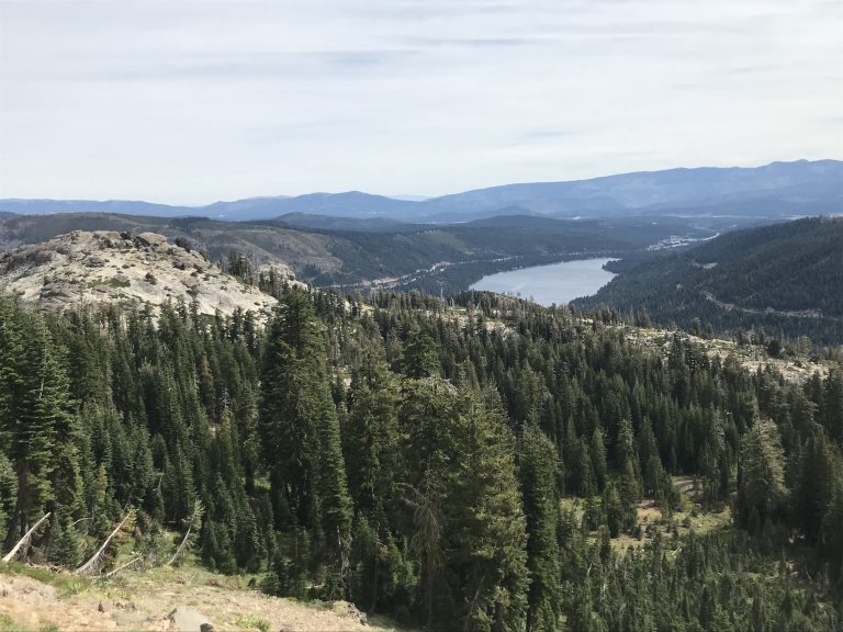
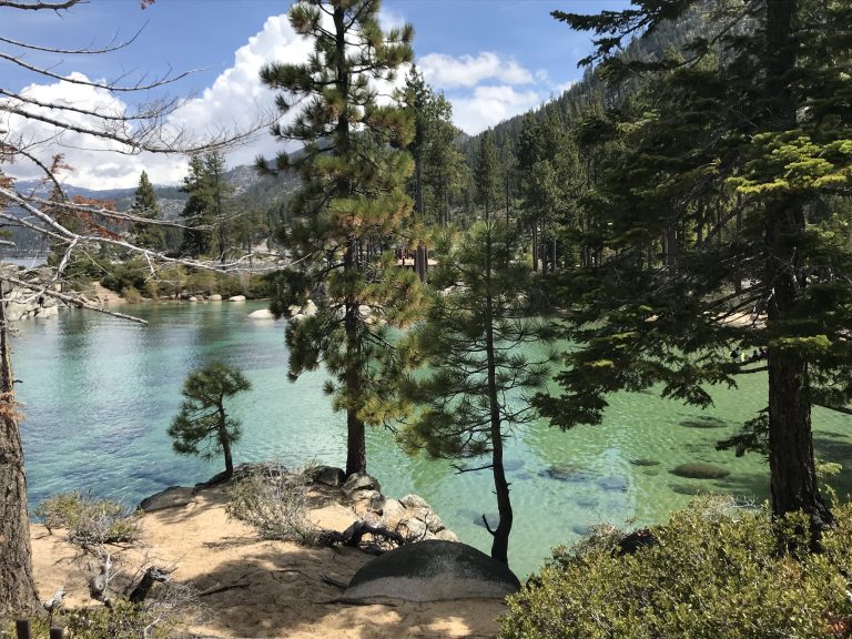
The road to Death Valley took us through Grass Valley, CA, across 7,000 foot Donner Pass (yes, that Donner) where the scenery became spectacular. The drive then goes around the stunning north side of Lake Tahoe.
From there, we continued through Carson City, Nevada where we picked up Highway 395, which meanders back into California and follows the eastern side of the Sierra Nevada mountain range for hundreds of miles.
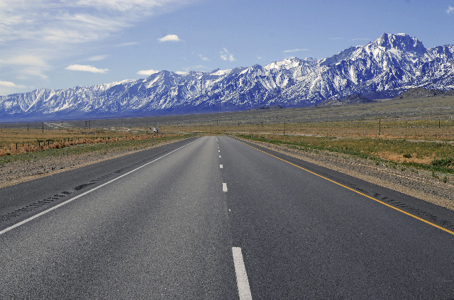
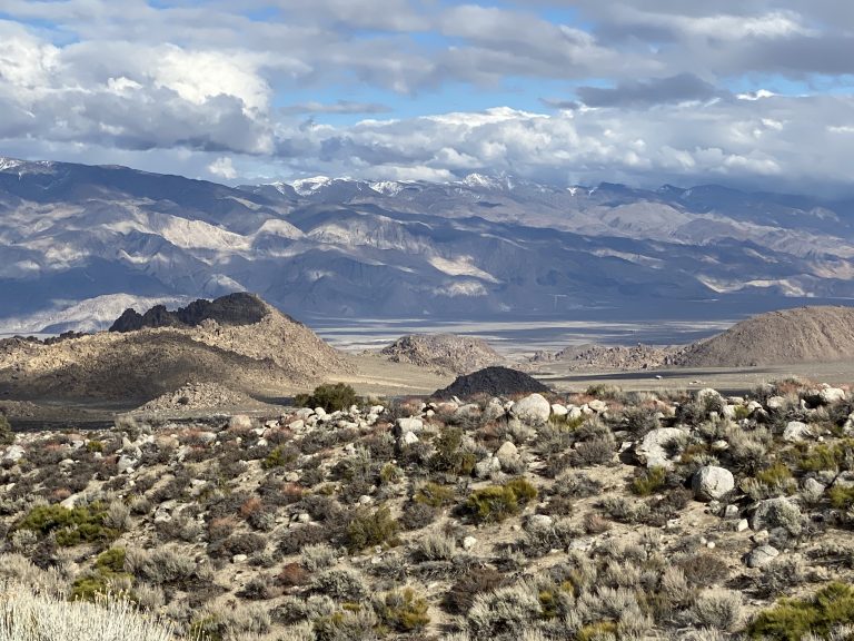
Highway 395 goes past such notables as Yosemite, Kings Canyon, Mammoth Lakes, and the highest mountain in the lower 48 – Mt. Whitney. The views throughout the drive are stunning, as the road parallels the huge snowcapped mountain range. The mountains are not off in the far distance but begin almost adjacent to the highway to the west. Much of the drive is at 6,000-7,000 feet elevation of high desert, while the peaks tower twice as high. The lesser White Mountains range off to the east appeared when we reached the Big Pine, CA area – mountains that would be stunning in their own right if not for the Sierras to the west.
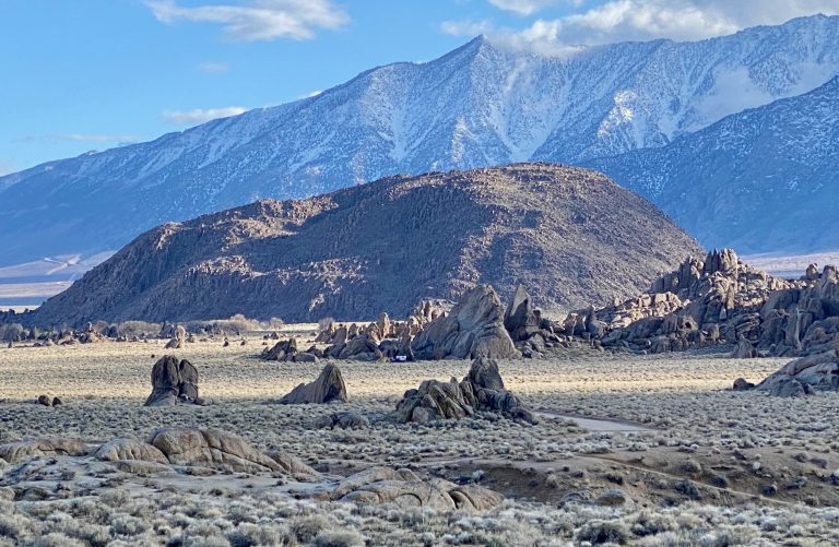
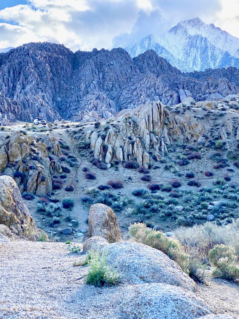
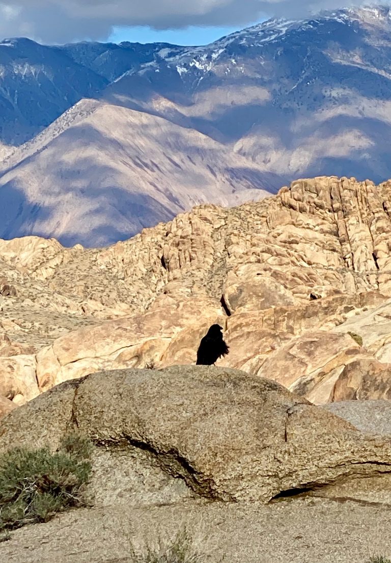
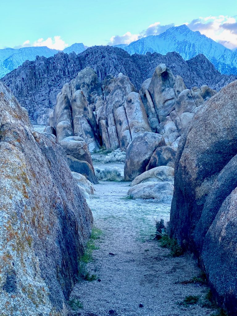
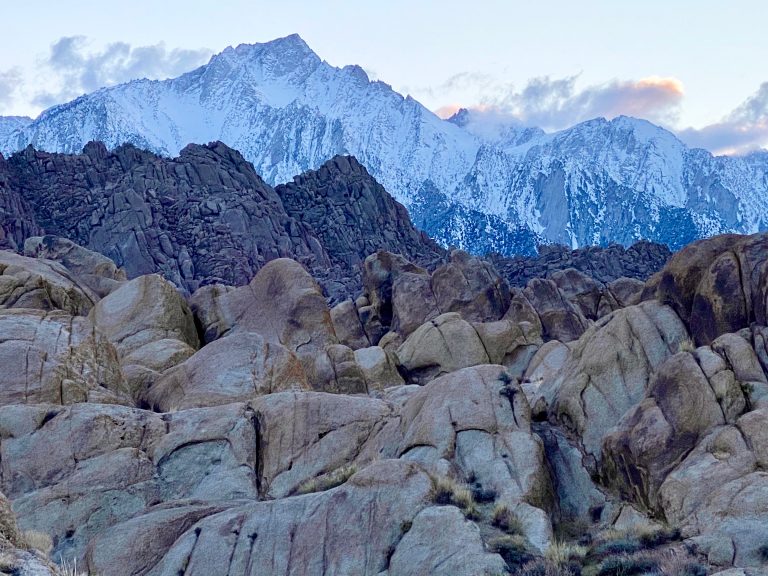
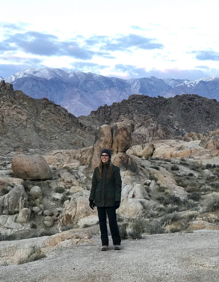
I’d heard of a place on the way to Death Valley called Alabama Hills, which, it turns out, is terribly named because it looks nothing like anything in Alabama. A right turn off Highway 395 at Lone Pine, CA takes you up a long road that eventually terminates at the base of giant Mt. Whitney, where the road was closed at this time of year. But before the road really climbs into the mountain, you’ll come across an unexpected landscape of giant rounded boulders and huge rocks, jutting out of the mostly barren sandstone ground. Many westerns were filmed in the Alabama Hills, such as Bonanza, The Lone Ranger, and Django Unchained (there’s even a film museum nearby) and it’s easy to see why. But what really takes your breath away is the huge snow-covered peak of Mt. Whitney in the background that seems to be trying to steal your eyes away from the stunning beauty of the foreground, giving the whole area a crazy depth of field with giant brown and red rocks in front and the majestic white peaks behind. It’s like nothing we’ve ever seen. It seems that gold prospectors sympathetic to the Confederacy named the area after the CSS Alabama, a Confederate warship. Fortunately, we saw no Confederate flags.
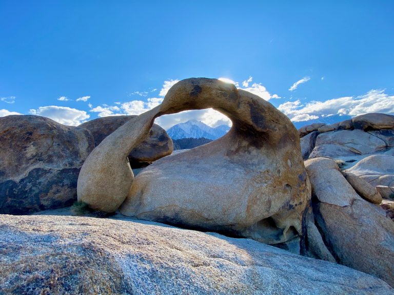
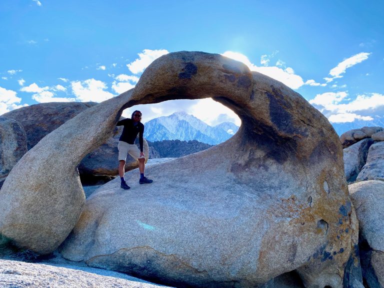
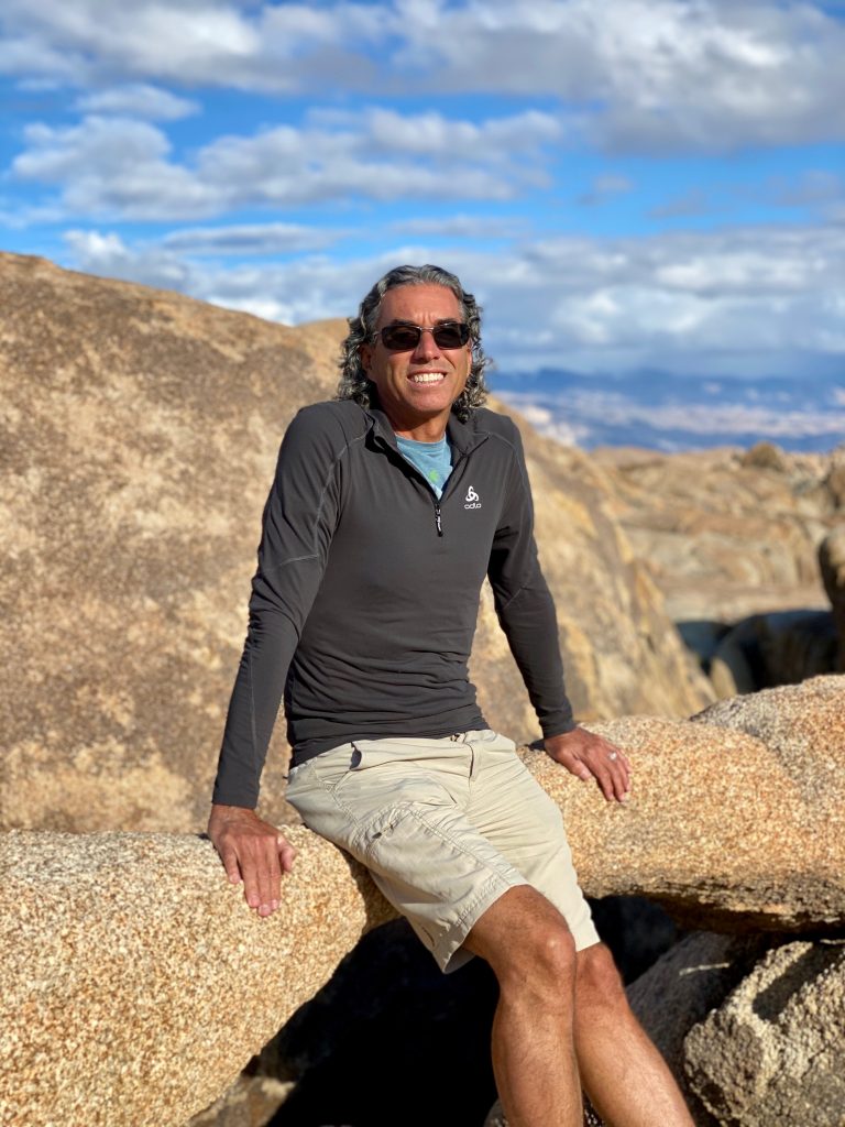
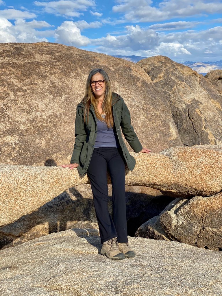
Happy to get out of our vehicle after the long drive, we took a short loop hike to Mobius Arch.
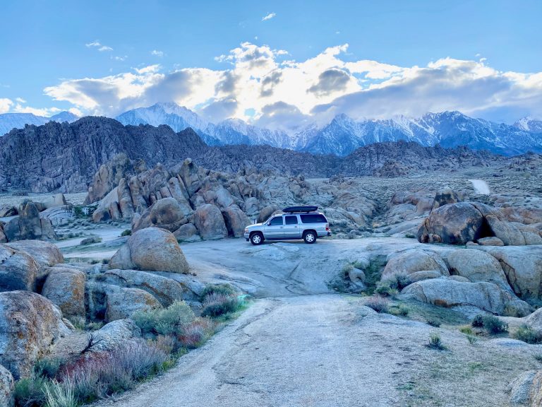
Within the rocky sandstone hills are numerous hard-packed roads that lead in and around the huge boulder piles, dotted with primitive campsites. There are no fees, no facilities, and lots of space to be tucked away from other boondocking campers. We followed several of the sandstone roads looking for a good campsite and, after some trial and error, found a perfect one – level and with 360-degree views.
After dinner, we explored the boulders nearby. The mountains all around us were bathed in the glorious sunset, and we looked forward to views of the sunrise from this vantage.

