September 27, 2020
It was a peaceful if chilly night by the corral with no sound but the wind. We made a leisurely breakfast at camp as the sun climbed and warmed us. After breaking camp, we drove 10-15 miles farther down the sparsely used main road we’d driven in on and saw a curious sign so we backed up to read it. While the road thus far was a well-made and straight 65-mph highway, the sign said “no vehicles with trailers allowed ahead” and “gravel road ahead.”
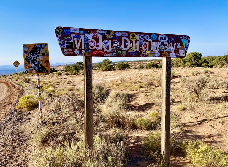
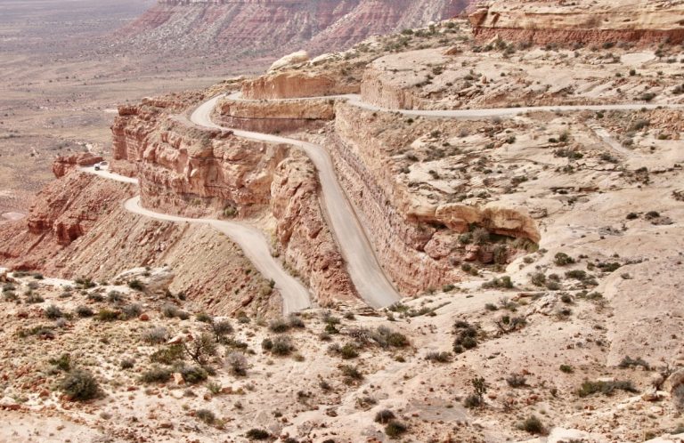
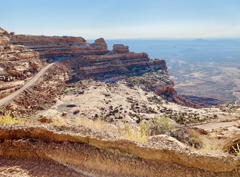
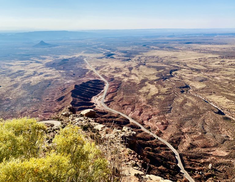
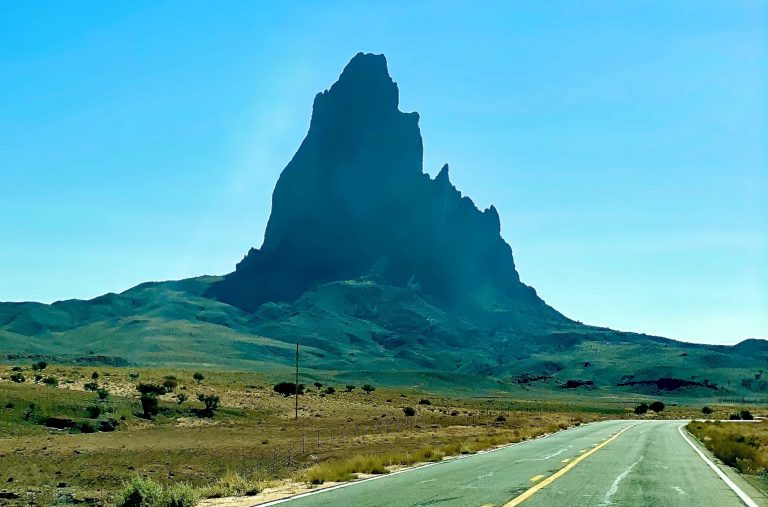
Another sign, “Moki Dugway” covered in stickers and graffiti, made us both grin. Sure enough, the beautiful road suddenly ended at the place we were hoping to find—though it found us. Moki Dugway was said to be one of the steepest and twistiest roads in Utah and it simply appeared at the end of the highway where pavement stopped and dirt began. It was a short road of about three miles, but it lived up to its reputation. Very sharp curves on steep hills appeared—with no guard rails—and we could see far down to the tortuous path it was following, from the high desert into the bottomland, 1,200 feet below. How the engineers cut it out of the rock I couldn’t guess but we both marveled at the craziness of it.
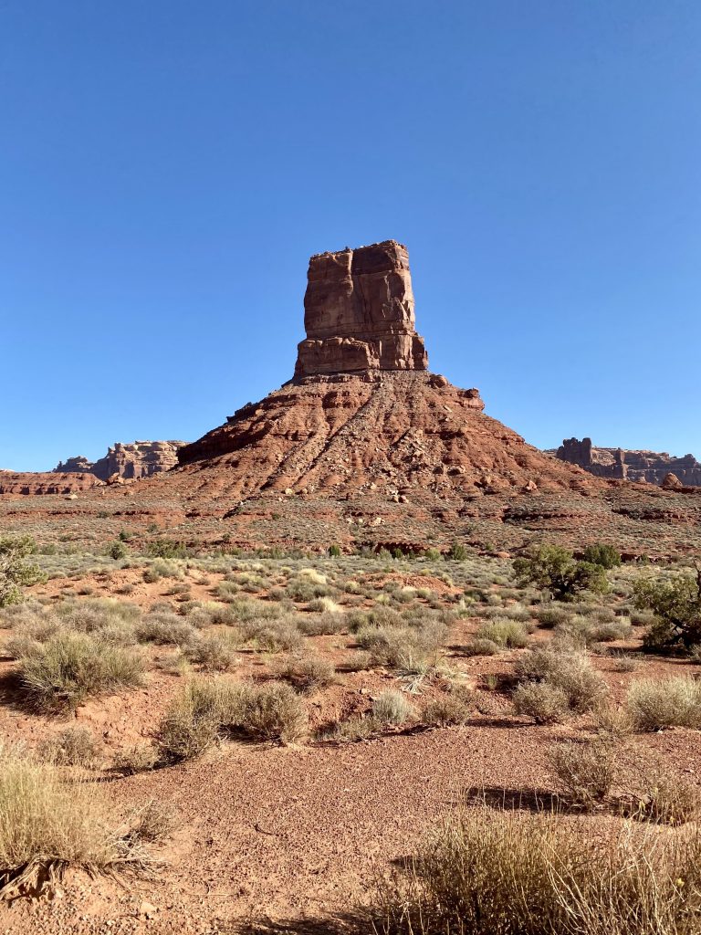
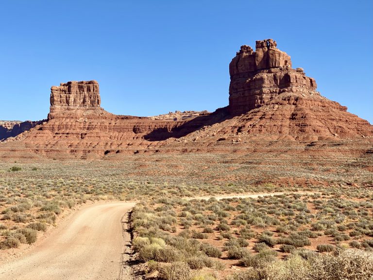
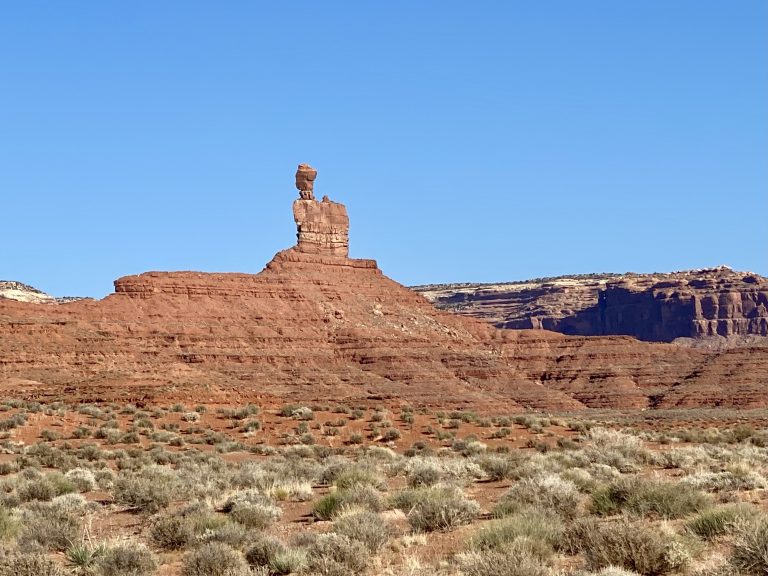
Moki Dugway then deposited us on the next road we were looking for: the Valley of the Gods Road. Considered an easy overland dirt road, it wound its way for 17 miles through giant 500-foot tall monoliths, pinnacles, and red mesas with names like Rooster Butte, Seven Sailors and Lady in a Bathtub. The Navajo say that the formations are warriors frozen in stone, to be called on for protection.
At times the rough road crossed some dry washes, which would have been impassable with even a little rain. Just as I was congratulating myself on traversing an overland route in our brawny GMC, a Prius came from the other way, dusty but intact.
Perhaps because of the intense sun, the dust from the road and the desolation of the mesas, or perhaps because Valley of the Gods is so vast and stark with such large and odd formations and pinnacles, it felt like an other-worldly place.
At the end of Valley of the Gods Road, we turned back onto another highway and drove for a few hours to Page, Arizona. The road was near the border between Utah and Arizona, curving in and out of the two states repeatedly. Because Arizona does not follow Daylight Savings Time, with every turn out of one state and into another our iPhones and Apple watches tried to catch up to the time changes, with our different high-tech devices sometimes comically disagreeing.
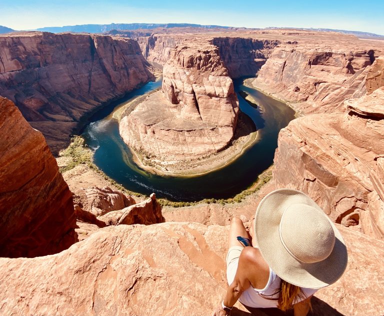
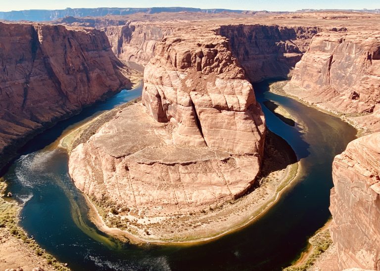
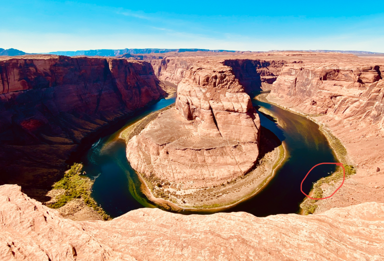
Page is the home of Horseshoe Bend, an enormous 300-degree turn in the Colorado River as it empties from Lake Powell. Page is also near Antelope Canyon–a beautiful slot canyon located on Pueblo land. Unfortunately, we soon learned, Antelope Canyon was closed due to the pandemic.
Horseshoe Bend was open. But apparently, the city council of Page (no doubt behind closed doors in a dark cigar-smoke filled room) smelled money and had conspired with the National Park Service (who owns the land at Horseshoe Bend) to build a “city” parking lot for the hundreds of thousands of visitors who would come every year to be photographed for their Facebook and Instagram pages. Ten bucks got you into a hot asphalt parking space for the short time most visitors spend walking down to the overlook and snapping an Instagrammable photo.
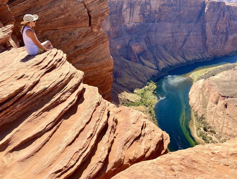
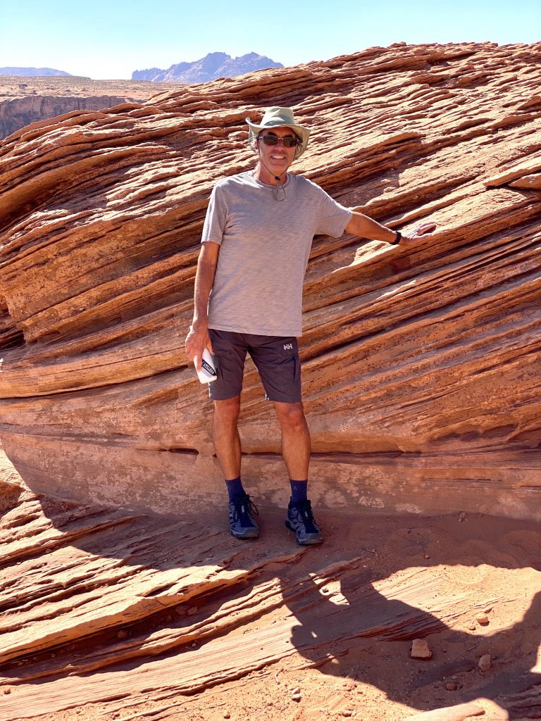
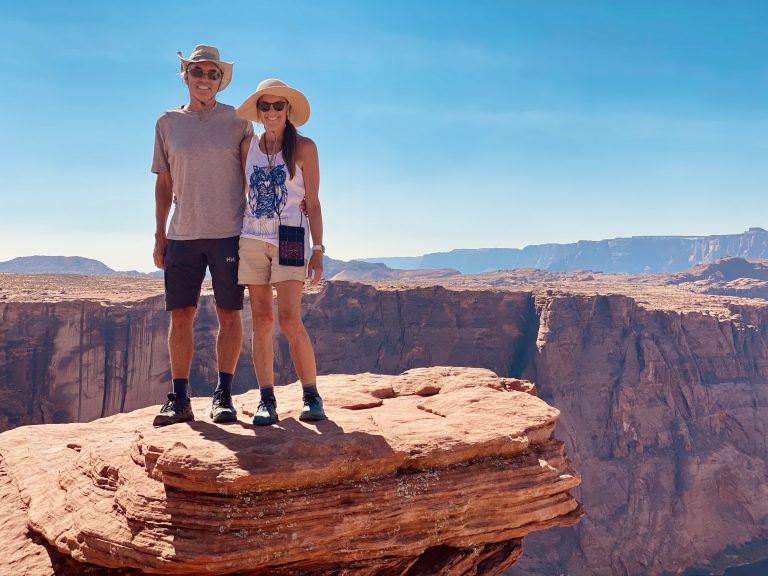
Once down the short asphalt trail to the bend, visitors were free to scramble over the sandstone rocks to try to outdo each other finding the best shot. Many of the rock scramblers set up for their shots, hardly looking at the incredible geologic display in front of them.
It really was spectacular though; the mighty river being forced to turn almost completely around a gigantic 500-foot tall peninsula.
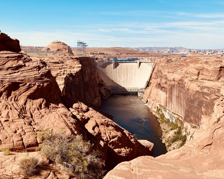
After that, we went to see the Glen Canyon Dam nearby. It wasn’t as impressive as Boulder Dam, but we enjoyed our short hike down to the overlook and relaxed for a while in a shady spot.
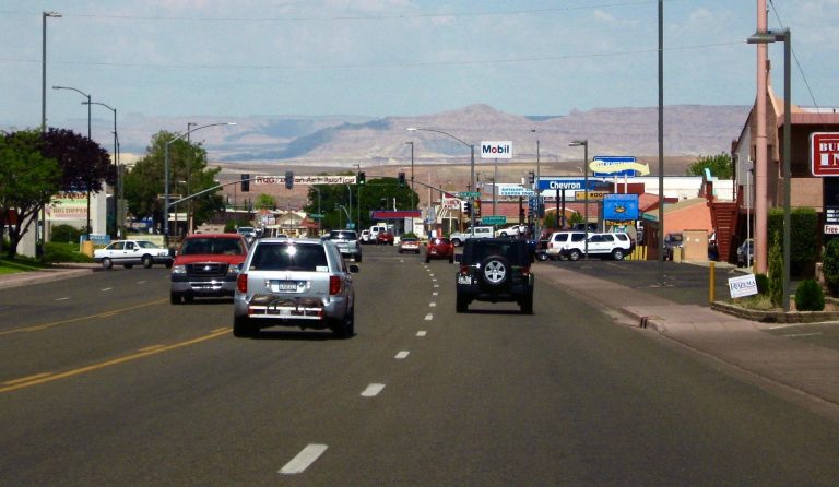
After four nights of desert camping, it was time for a shower (and a real bed!) in the small town of Page. Amazingly, for $50 (including tax) we got a nice name brand Covid-clean room. It was probably the cheapest room we’d ever stayed in and we credited it to Covid, including the fact that Antelope Canyon was closed. After showers, we hoped to stroll through downtown Page to do our usual small-town exploration but found there was no real downtown. Instead, Page is basically a drive-through town.
Page came into being about 60 years ago to house the workers who constructed the dam. The recent popularity of Horseshoe Bend and Antelope Canyon, apparently the result of social media exposure, led to the expansion of the town (I’m sure the windfall from the overpriced parking lot helped). It seems to mostly consists of a lot of hotels and gas stations to cater to the tourists.
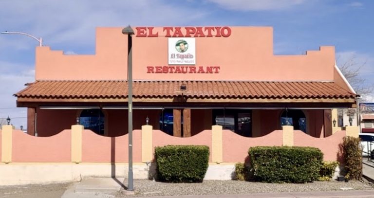
Nonetheless, we decided to walk from our hotel in search of outdoor dining. We found a Mexican restaurant that fit the bill and restored most of the calorie deficit we’d made while hiking in the past few days.
When we returned to the room after dinner, there was bad news. The smoke we’d escaped from back home was caused by the North Complex Fire—one of the massive California fires that resulted from over a thousand lightning strikes in August. Though the fire was contained about 6 miles from our house as the crow flies, when we left home we’d been warned to expect a two-day pre-emptive safety power outage soon. We knew that these long outages were going to be common in the future (perhaps five to six per summer), so we invested in a Tesla PowerWall that, along with our solar panels, would run the house when the power was cut. The outage was to prepare for very strong winds, increasing the fire hazard in Northern California. The predicted strong winds had now arrived and there was concern that the North Complex Fire would escape the containment lines. We began receiving texts, emails and calls from the sheriff’s office back home as well as messages from friends and neighbors telling us that the fire was moving rapidly towards our neighborhood. The sheriff first said an evacuation could be possible, but within an hour it had worsened to an evacuation warning for our entire town. Paradise, CA had almost completely burned down two years before in the most destructive and deadly fire in California history. Our small neighborhood survived, but only barely and here we were again faced with losing our home.
As we scoured the internet for more information, we discussed our options: Leave for home now and hope the 14-hour drive would get us there in time to rescue a few possessions; stay the night and leave first thing in the morning; continue hiking and camping as if nothing were happening. The last idea was quickly shot down—how could we enjoy ourselves knowing our home was at risk? So, we decided to get some sleep and leave for home early in the morning.

2 Responses
Valley of the Gods is indeed otherworldly. Did you happen to see the sign in the Valley that said where Forest Gump stopped running?!
We didn’t see the sign but Charles read about that online.