Post #146: Mendocino sunset

June 23, 2022


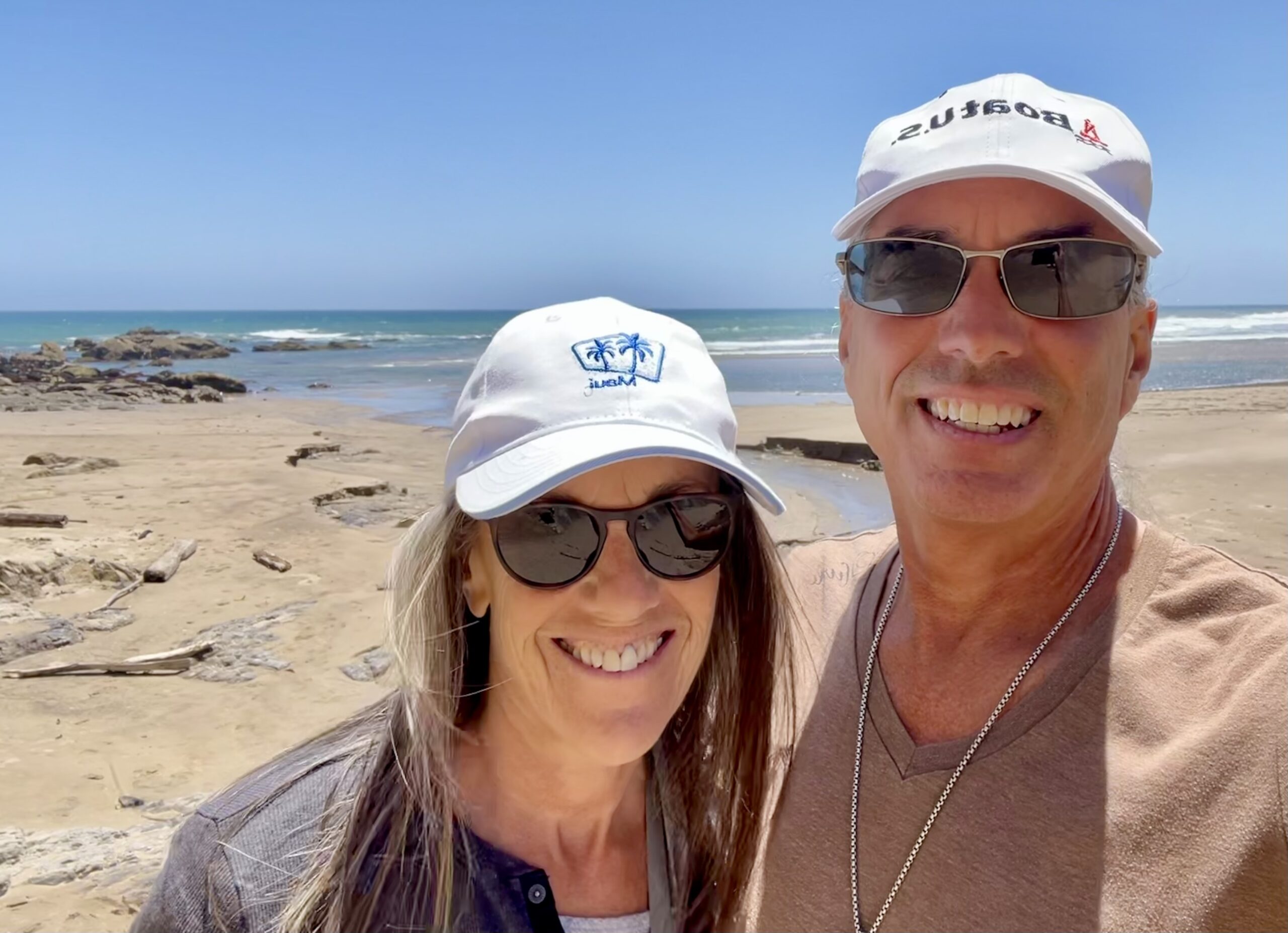
Back in the day, we used to wake up really early to leave on a trip but now we rarely feel the need to rush out of the house first thing, and we try to let the trip begin when it’s ready. It’s one of the perks of retirement; we don’t need to squeeze every minute out of a few days of valuable vacation. This morning, we had an idea that we might leave at eight-ish and by the time we started the truck, it was a bit past then but we were not the least bit stressed. Instead, we were as excited as always to begin. We pointed the truck toward the Pacific Ocean.


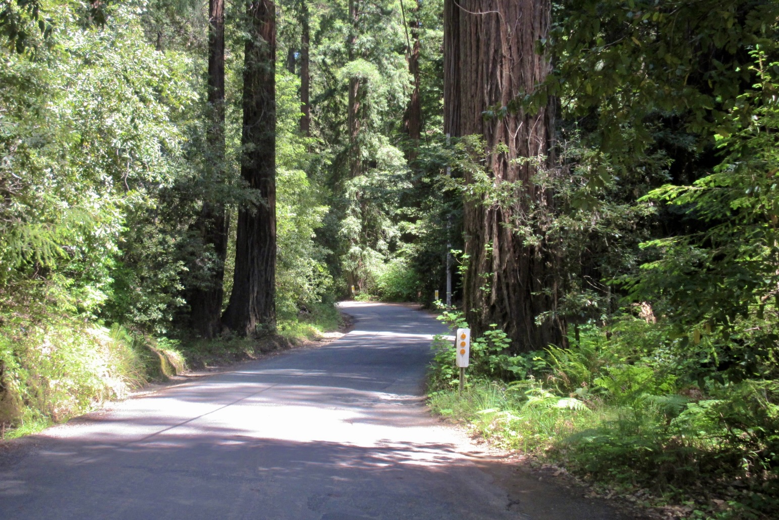
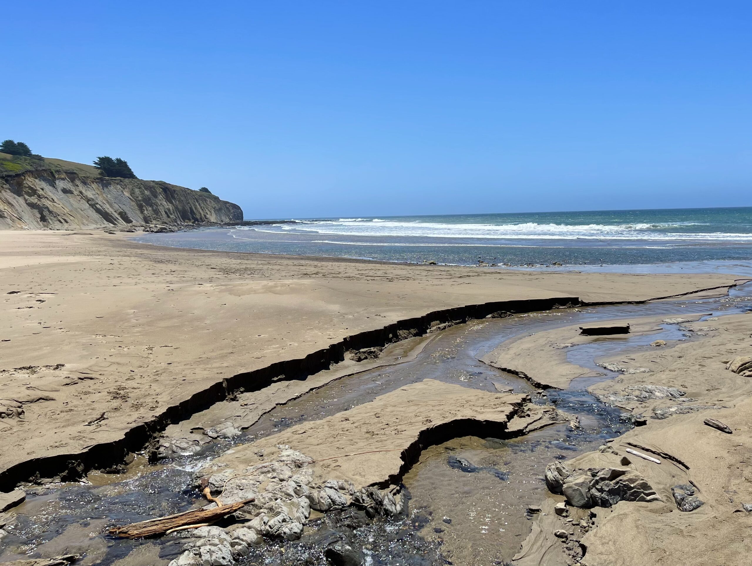
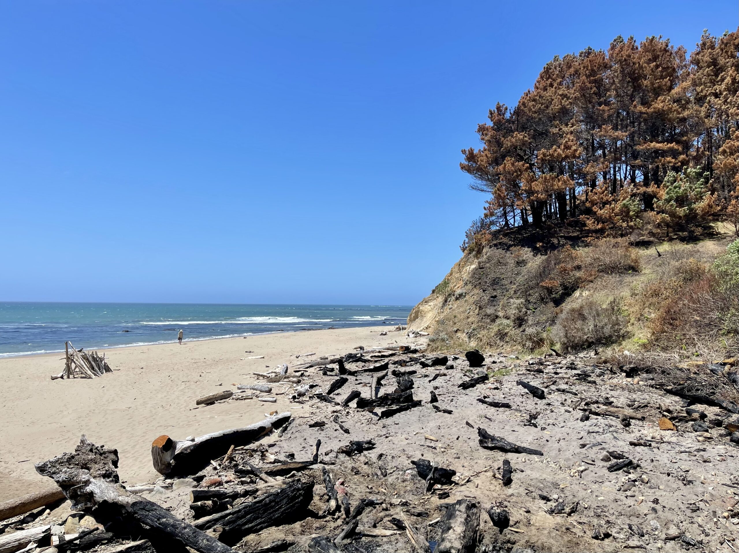
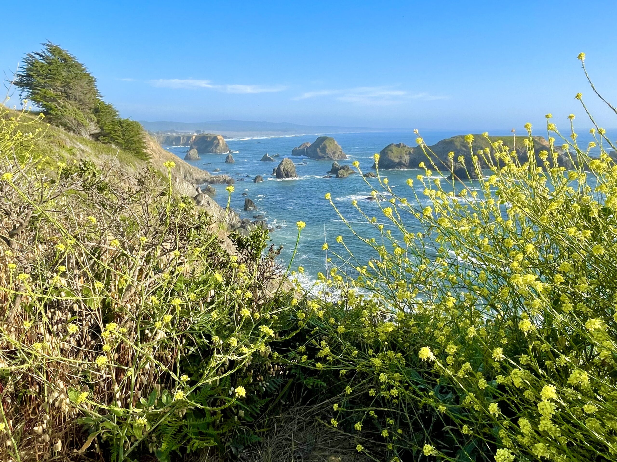
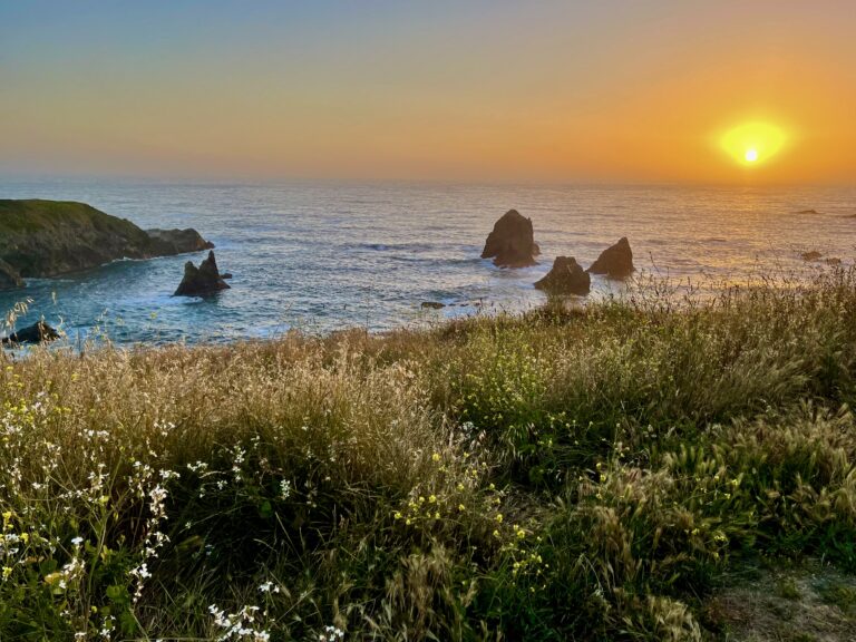
At home, the forecast was for 100 degrees for most of the coming week so the time was right to get out of Dodge. Already it was 80° when we left the house and headed southwest to cross the coastal range and find some cool. A couple of hours later, just as we started climbing the last pass in the low mountains near tiny Boonville, CA, the thermometer showed 95 degrees. Over the course of the next 25 miles, it had flipped to a cool 59 degrees, still sunny but with a slight haze from the ocean.

Mountain View Road, , an old stage coach road and now a barely used (and barely paved) mountain road climbs and twists through dense forest and narrow passages between redwoods

 We followed an off-the-beaten track route across the mountains—Highway 253 out of Ukiah toward Boonville, and then the final 25 miles on tiny Mountain View Road to the coast. Both roads were steep and twisting, with very few other vehicles. Mountain View Road turns into a narrow rough drive, at places only one lane wide, but passes through a beautiful forest of pines, junipers, oaks and even some redwoods. No RVs larger than a Sprinter van could make the turns. 

This section of California is sparsely populated and we hoped to explore the northern coast where famed US Highway 1 goes inland and the Lost Coast begins. But first, Susan had read about a place off of Highway 1 where the highway still followed the coast, slightly to our south past the small town of Point Arena, CA that we wanted to see called Bowling Ball Beach. 


Eventually, we found a tiny pull off where we thought it should be. After days of 90°+ temperatures, we were a bit shocked when we got out of the truck and felt the sub-60 degree temperature along with a strong wind, so we bundled up. 

Happy to be on the coast, even if we hadn't yet found the beach we were looking for
Farther up from the sea, the stream beacme wider and deeper. A makeshift bridge, curtesy of three little girls, saved us from having to wade through the chilly water

A short trail through a dense forest led to a wide sandy beach with sandstone cliffs facing the crashing surf. It was fantastically beautiful but after walking for a half mile, we failed to spot anything resembling bowling balls. Stumped, we headed back to the trail on a different route, where we needed to cross a wide shallow stream on the beach flowing from the forest. Fortunately, three little girls were building a driftwood bridge and with their permission (and smiles) we crossed.

Back at the truck, we had no internet to learn more about where the beach might be, but we were determined.  One map showed it very close by so we set out on foot again in a different direction until we found another trail that went through a recent burn scar and had some wooden steps (most burned as well) leading to the beach. 

We've grown accustomed to seeing burn scars but were surprised to see fire damage so close to the ocean
Charles stood like a pin ready to be struck by one of the giant bowling balls
Susan stretched out in the sun on one of the bowling alley's smooth lounger-shaped boulders

A half mile later, we found what we were looking for. Visible only at low tide, dozens of round boulders two or three feet in diameter looked like they’d been strewn about by a giant. We played around them for a while, hopping from one to another, knowing that in a few hours they’d be invisible as the tide came in. A chilly wind pursued us as we returned up the trail.

Point Arena Lighthouse
A fence built with large slabs of rock by the entrance to the lighthouse. The rocks definitely could hold up to the wind better than wood (or us)

On our way to Bowling Ball Beach we’d noticed a sign for a turnoff to a lighthouse a few miles off of Highway 1. Of course, we turned off. Point Arena Lighthouse, built over 150 years ago, is located at the end of a half-mile long peninsula—a natural hazard for boats and, especially with the typical fog along the coast, the reason for the lighthouse. But it was fog-free and sunny (though very windy) when we were there. 

Back on Highway 1, we turned in to Russian Gulch State Park and headed for Devil’s Punchbowl, a huge hole in the ground a hundred yards from the ocean.

Frederick W. Panhorst Bridge aka Russian Gulch Bridge

Before finding the sinkhole, we briefly (and accidentally) detoured to the main section of the park where we found ourselves dropping down to the sea at the base of the park’s most famous feature, 527-foot-long Frederick W. Panhorst Bridge built in 1939. The bridge is similar the the more famous Bixby Bridge in Big Sur.

We soon found our way to the short trail that led to Devil’s Punchbowl. Over time, storms had eroded a passage into the hole from shore and now water rushed in with every wave. We imagined that during high tide and stormy weather, spectacular explosions of ocean water must erupt from the massive sinkhole, but today it simply filled up with each wave.

Devil's Punchbowl
Breathtaking ocean vistas like this are ubiquitous along the Mendocino coast

US Highway 1, the California coastal highway, has many spectacular parts, like Big Sur. This far north the vistas were almost as beautiful but the road was far less traveled. The scenery varied between draw-dropping ocean views to high green pastures whose cows surely had the best views of any in the world. The road twisted and turned, passing through small towns. 

Village of Mendocino, CA
Lots of white picket fences and pretty homes
View of the ocean from town

We stopped at the coastal village of Mendocino and wandered the few downtown streets that used to be home mostly to hippies and artists, but they were priced out by expensive homes and fancy inns and restaurants some time ago. 

The trail brought us through a field of wildflowers, cattails and tall grasses
And led to the edge of a cliff overlooking the sea

Leaving Mendocino, we continued north through more blue-collar Fort Bragg and then to a more remote area slightly past there where we found a quiet pull-off where there was a short trail to the sea. We followed the trail until we reached a perfectly placed bench with ocean views.

A flock of pelicans!

We sat for a while mesmerized by the sights and sounds of crashing waves, tall grasses blowing in the breeze, a flock of pelicans flying in a perfect V above, and the pungent scent of the sea. Even along famous Highway 1 on the California coast it was possible to find solitude and serenity.

By now, we were ready to look for a place to sleep for the night, something very hard to do along the coast unless you want to spend hundreds of dollars for a “cheap” inn. But we wanted to sleep in the truck like we usually do, which was also made difficult because every turn-off along the highway is closed to camping and what wasn’t state land was posted no trespassing. 

Yeah, we're staying here. The tiny No Camping sign at the other end of the pull-off was just a suggestion, right?
Wildflowers and a steep cliff were all that separated our spot for the night from the ocean

Eventually, we found a few pull offs that were ambiguously marked. We returned to the best one, which had a small dirt road that paralleled Highway 1 a hundred feet away on one side, and a hundred-foot-high cliff overlooking the ocean 15 feet on the other side, with crashing surf below and the sun beginning to set in the distance. The one tiny No Camping sign was far from us and besides, we weren’t camping, we were merely sleeping inside. That would be our story if we heard a nightstick on the door at midnight.

After an easy dinner consisting of leftovers brought from home, we sat in our chairs facing west and watched the sun slowly sink into the ocean as the wind died. 


In the truck with the windows open, the nearby crashing surf below drowned out nearly everything else and we hoped for a peaceful night. I secretly hoped for a strong wind. Someday, we’d come here during a raging winter storm and sleep through it in our cozy stormproof truck.

Leave a Reply

Share this post