August 13, 2022
It was a cool night near the lake and we were snug under our heavy blanket when just after sunrise, and three feet from our open windows, a rooster crowed. Loudly. Repeatedly. I sat up and sleepily muttered something to him about Colonel Sanders but he kept crowing importantly, circling the truck just to make sure we’d heard it.
After he wandered off, we got ready to leave but as soon as I started the engine, he came running toward our truck. In my experience roosters seem to lack (or ignore) the gene that should inform them that humans are alpha predators. This one also lacked that gene and I was pretty sure that if I stepped out of the truck, he’d attack.
Somewhat sheepishly we got underway while the rooster strutted in front of our three-ton truck, proudly escorting us back down the road while I (mostly) tried to avoid running over him.
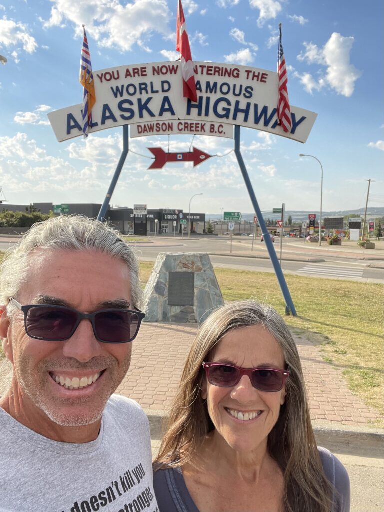
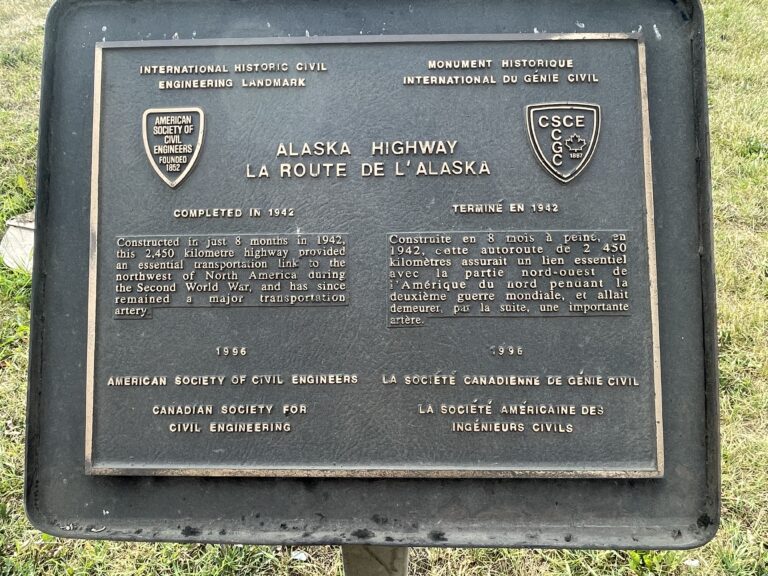
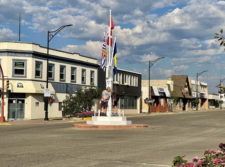
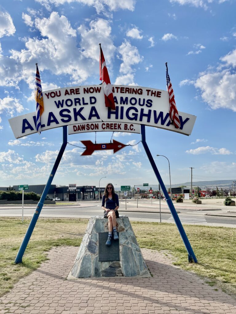
A couple of hours later we reached a new beginning. Dawson Creek, BC marks Mile Zero, where the Alcan Highway (aka Alaska Highway aka Alaska-Canadian Highway) begins. 1,382 miles later, it ends at Delta Junction, Alaska, about 100 miles southeast of Fairbanks. We were giddy that we were beginning the next part of the trip, though we’d driven nearly 2,000 miles so far and the Alaska border was still almost 1,200 miles away.
We stopped at a large arch by a parking lot, which is the Mile Zero photo spot most people use. A couple of people were gathered at the arch, but we didn’t meet anyone headed to Alaska. We hoped we’d find some soon now that we were officially on the Alcan, though it was a bit late in the season and most travelers seemed to be already returning back to the lower 48 from Alaska.
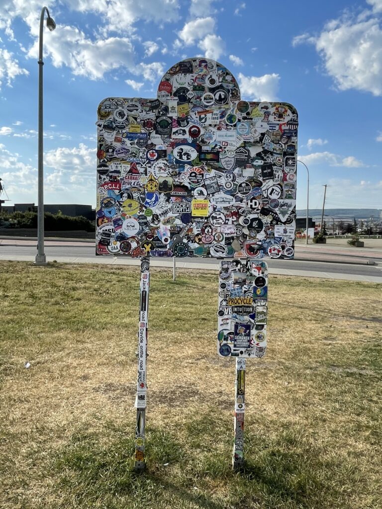
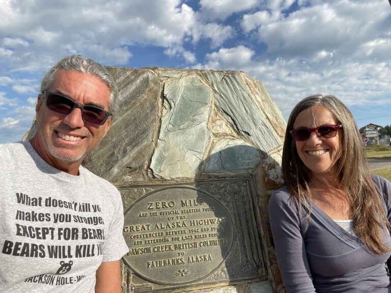
From there, we continued to the lesser-known obelisk that marks the actual spot where the Alcan highway officially starts.
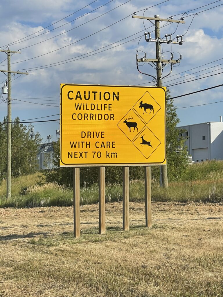
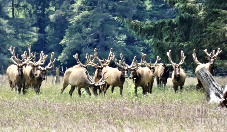
As we started out on the Alcan we passed a sign notifying us we were in a wildlife corridor. Less than an hour later, we saw a large herd of bull elk grazing. One of our first impressions of the Alcan was that this was a very remote road and we might see more wildlife than people along the route.
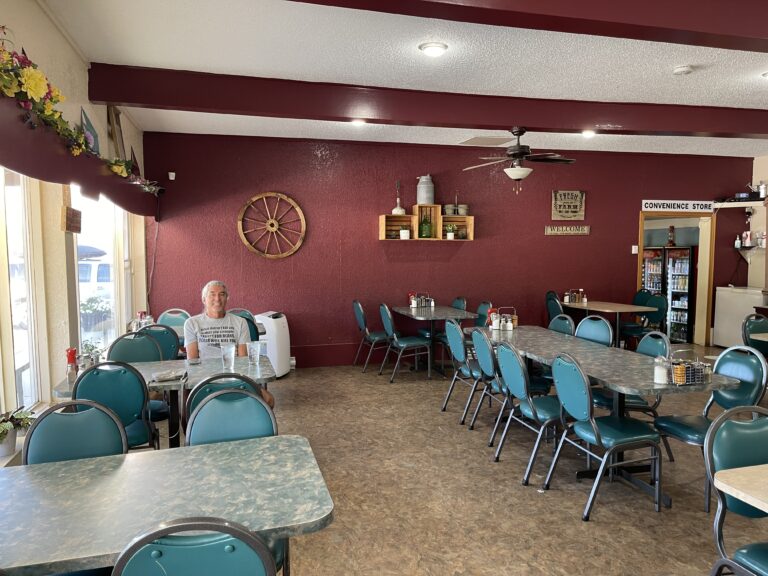
After a few more hours we stopped at a restaurant (oddly, the only building for many miles around) and had a very good (and very expensive) late breakfast. At 10:30 am, we were the only people there but they offered a full menu and the waitress couldn’t have been nicer. So far, all local Canadians had been very friendly (aside from one park entrance employee).
And all of Canada so far – even the well-used trails in Banff National Park – had been extremely clean. There were trash and recycle bins almost everywhere and people used them.
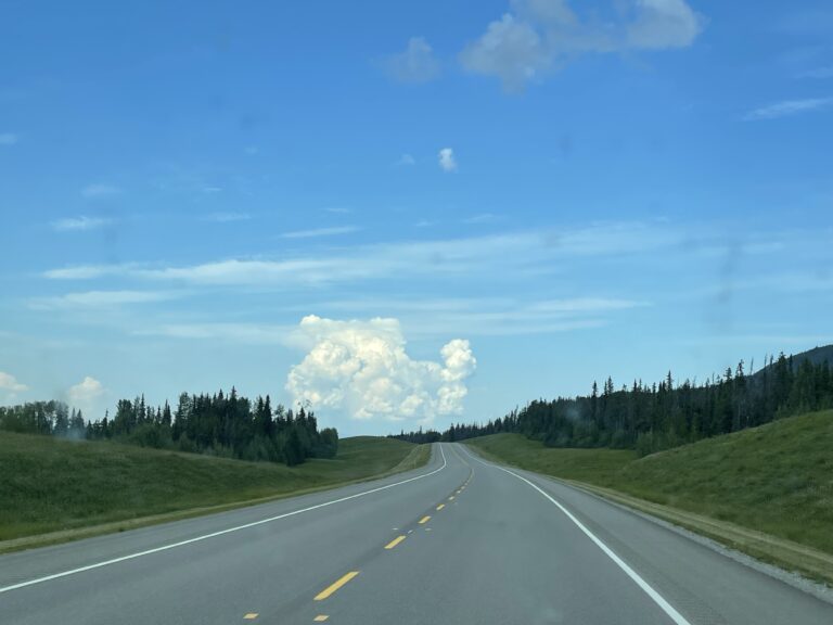
After our meal, we continued along the Alcan. The mountains of yesterday gave way to prairie and rolling hills interspersed with bigger hills (what they would call mountains in Virginia) in the distance. The road was fairly well-paved and mostly two-lane. Speed limits were less than in the US (never more than 100 kph, or 60 mph, and often less).
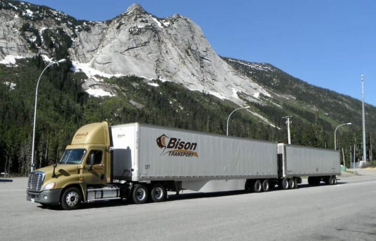
Passing slow vehicles was easy because of the very light traffic. The limited vehicles on the road included a few travelers like us plus some of the typical and enormous 34-wheeled semis, Canada’s double-trailer version of our 18-wheelers. We were enjoying the leisurely speed and our V8-powered truck was returning an impressive 20 mpg.
Gas had been a little cheaper than we’d expected but we knew that would change soon as we left more populated areas. I’d neglected to fill up in Dawson Creek and kicked myself as I saw the gas gauge go below a quarter tank. We’d agreed to never get below a half tank if at all possible but I’d misjudged. Fortunately, the truck has a long range with its 32-gallon tank but the next fill up would cost over US$150, more by far than we’d ever spent.
The weather forecast was calling for dangerous thunderstorms during the late afternoon and night. We’d be driving back into the Canadian Rockies in another few hundred miles and wanted to be able to see the mountains clearly, so we decided to stop relatively early for the night and hope for clear skies in the morning.
Susan found a surprisingly inexpensive inn in Fort Nelson, BC where we could do laundry, shower and refreeze our ice packs. Storms don’t usually bother us much when we’re camping in the truck (in fact, we tend to enjoy them) but the timing was good and the price was right so we stopped.
There was almost no one at the hotel when we arrived around 5:00 pm and it was apparent that the season was already winding down. We started our laundry, picked up some groceries from a nearby store, and used the hotel’s reasonably fast wifi to get caught up on the goings-on in the outside world.
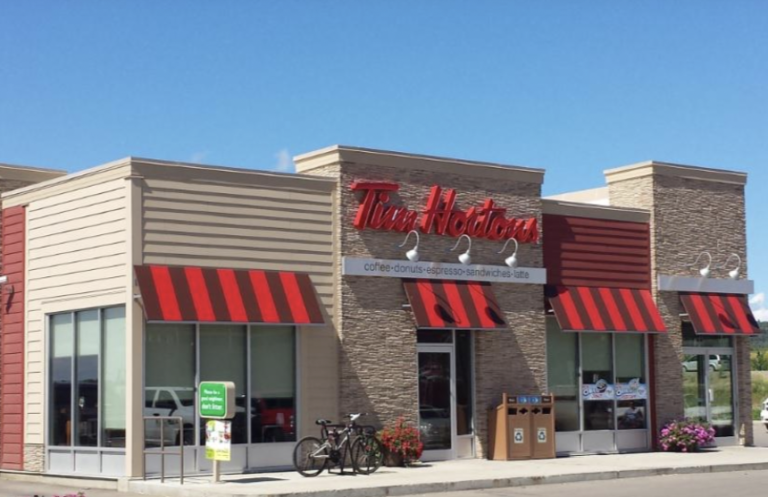
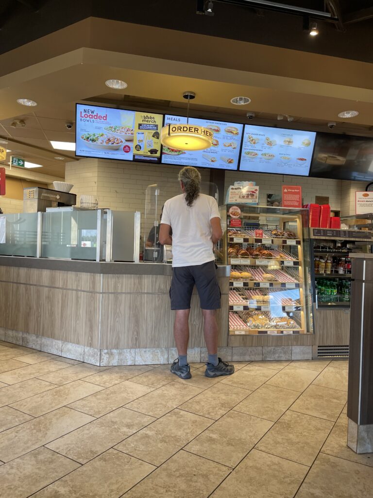
A while later, we walked from the inn to a nearby Tim Hortons, a popular fast-food place in Canada and were pleasantly surprised that the food was less awful than U.S. fast food.
After dinner, we watched out the windows of our room as clouds continued to build for the coming storm.

