Post # 33: Through Susanville to the Modoc

May 25, 2020

We always said that once we actually retire and we get tired of the rainy winters or baking summers, we’d simply leave for a while and travel. It’s not that we don’t like where we live, it’s more that we like finding excuses to travel. With a coming heat wave of consecutive 100 degree days at home, we decided it was time to head north. This time, we’d go to the northeast corner of California, a largely unpopulated area with much natural beauty that contains the Modoc National Forest and Lava Beds National Monument. We’d also be near Black Rock Canyon in Nevada where Burning Man takes place every year (not this year, thanks Covid) and it begged to be explored. It looked like a lot to explore so we packed up with enough food, water and clothes for eight days. I’m always amazed at how much we can bring in our SUV where most of the space is reserved for us to sleep. But with a roof top carrier, we’d already taken a three-week trip to Baja Mexico, so eight days was pretty easy. Alaska later this summer would be different because we’d need to bring a lot of bulky warm weather clothes too and there’s only so much room “upstairs.”

By 10 am we were underway with one stop necessary before leaving town. Susan is a wonderful navigator but she was taught by her dad to use paper maps and often prefers them over an iPhone. I’ve got no less than four map apps on my phone for various uses, and Susan successfully navigated us all across France a few years ago with Google Maps on her phone, but the girl likes paper maps so we stopped at a recently re-opened sporting goods store (where we were disappointed to see that the staff and most customers didn’t wear masks) and picked up a map book of California. For the first couple of hours driving, Susan was as excited as a little girl at Christmas (or Hanukkah), reeling off all the cool things they put on maps these days.

Old school navigation
Susanville is the county seat of Lassen County
The Susan river runs through the town

We decided on a route through Lassen County that would take us along the Susan River and through Susanville, CA because – Susan. It turned out to be a nice little town, with the look and feel of a small Reno, minus the casinos. Both towns are at high elevation along rivers (in Reno, it’s the Truckee River) and are on the dry eastern slope of the Sierra Nevada range. Susanville, a former logging and mining town, was named for the daughter of an early settler. Sadly, most of Susanville was closed due to Covid, so we only passed through. 

We also stopped briefly at a historical marker for the Lassen Emigrant Trail used by some of the 49ers who passed through the area in their covered wagons during the gold rush era.

The farther we got from home, the less traffic until we rarely saw another car – amazing because it was Memorial Day. But there are no interstates in that part of California and very few people live there. Modoc County consists of over 4,200 square miles and the population is only about 8,850. Compare this to Fairfax County, VA where we used to live – about 400 square miles and a population of 1,150,000. Modoc County is so remote and sparsely populated that it has had zero cases of coronavirus. At one point on the deserted highway, we slowed for a large coyote sauntering across the road, ignoring us.

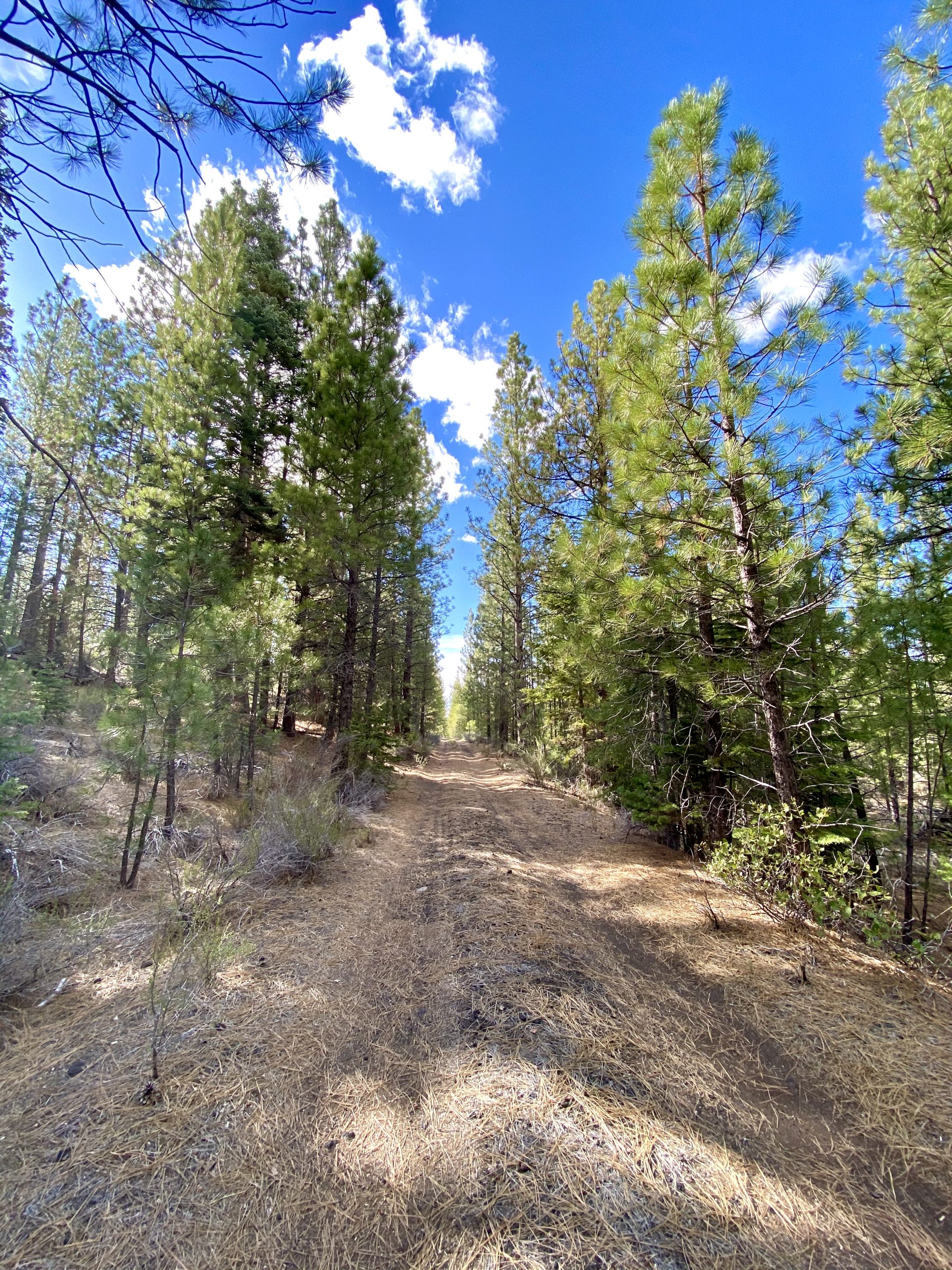
We arrived in the Modoc National Forest in the late afternoon and began exploring a couple of potential camping spots not far off the main road we were on. We actually enjoy this part – finding a place to stay the night. We’re rarely rushed so we’re able to stop anywhere we want and head down a likely looking road. We’re good enough at finding good campsites that we can tell pretty quickly when we find one. We stopped at several likely looking places, but none were right: a closed but ungated National Forest campground with aspen trees and too many mosquitoes; a side road that lead to nowhere and that required backing up for a mile; and a couple of dirt road turnoffs. We continued on to Lava Beds National Monument where fees were not being collected due to Covid (thanks Covid, though we have a senior pass that gets us in free anyway). We planned to explore the lava tubes in the morning, so we hoped to find a spot nearby. The campground at Lava Beds was closed as we had expected and there were no pull-offs from the road. Eventually a double-track dirt road turn-off from the main road led us back into National Forest Service land. We drove a couple of miles and found it – a peaceful clearing beside the road. It was obvious from the lack of tracks in the road that no one had been down it for a long time so we broke one of our campsite rules: Always be out of sight (and preferably hearing) of any road. We parked under the ponderosa pines and leveled the truck with a rock.

The empty road provided a nice trail for a late day hike

After the road trip it was time for a walk so we decided to explore by walking farther down the road. Our feet crunched and sunk slightly into the soft volcanic sand that made up most of the area. The forest was young with no old growth but the wind in the pines and the scent of their needles was just what we needed after several hours in the truck. After a dinner of leftover grilled chicken and rice we’d cooked at home, the chill drove us inside.

Leave a Reply

Share this post