Post #172: Down river

August 30, 2022


Clomping boots on the wooden sidewalk outside our Bunk House door woke us and by 7:30 we were showered and looking for coffee. Susan found a place and I had some of the best hot chocolate I’d ever had at the only open coffee shop.


Leaving Dawson City, we headed southeast on the Klondike Highway and in 20 miles passed the turnoff to the Dempster Highway that we’d just come down the day before. It had been an epic 1,100-mile dirt-road journey that tested our determination—and our truck. We felt like we had a medal of honor having completed the journey, something few people get to do.

In Dawson City we’d bought an I Survived the Dempster Highway bumper sticker even though we certainly weren’t putting it on our mud-coated truck yet. The adventure had surely toughened us and given us a sense of accomplishment. Driving on the paved road toward Whitehorse now, we felt just a little special, having tackled such a tough road to such a desolate and beautiful place.

We're not sure whose survival was more impressive--Rocky's or ours

As we drove, we searched in vain for a car wash. Every time we got in or out of the truck, some of its dirt ended up on our hands, sleeves, or pants. It rained again on and off for hours as we drove and we figured the rain would just turn all the dirt into even more of a mess. But when we finally pulled over for a short hike, we saw that most of the Dempster Beige had been washed off and even the license plate was clean. Canada was so thoughtful.

Typical of Canadian parks, this one had a well-made staircase down to the water wtih plenty of interpretice signs
View from the trail to Five Fingers of the Yukon

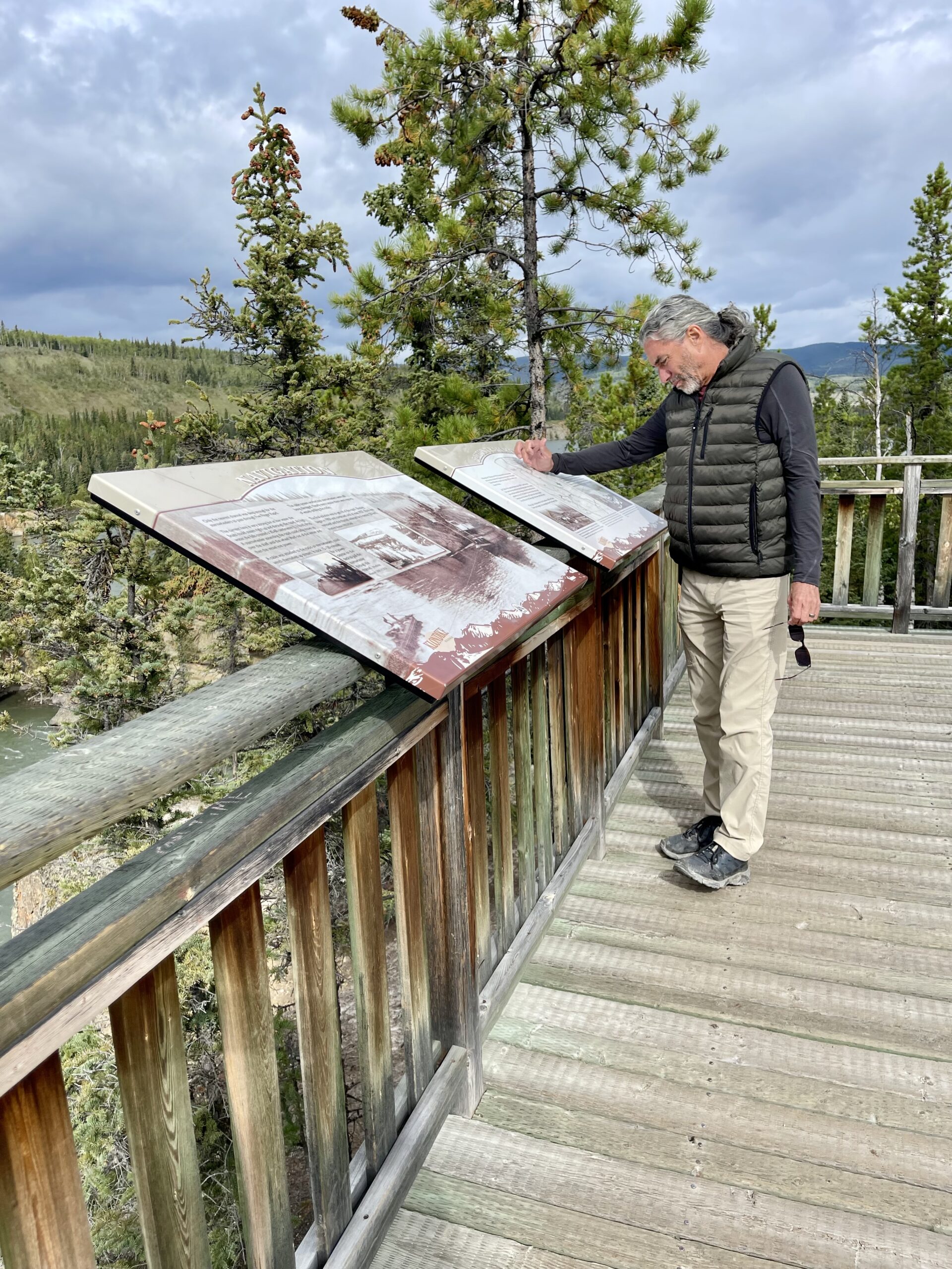
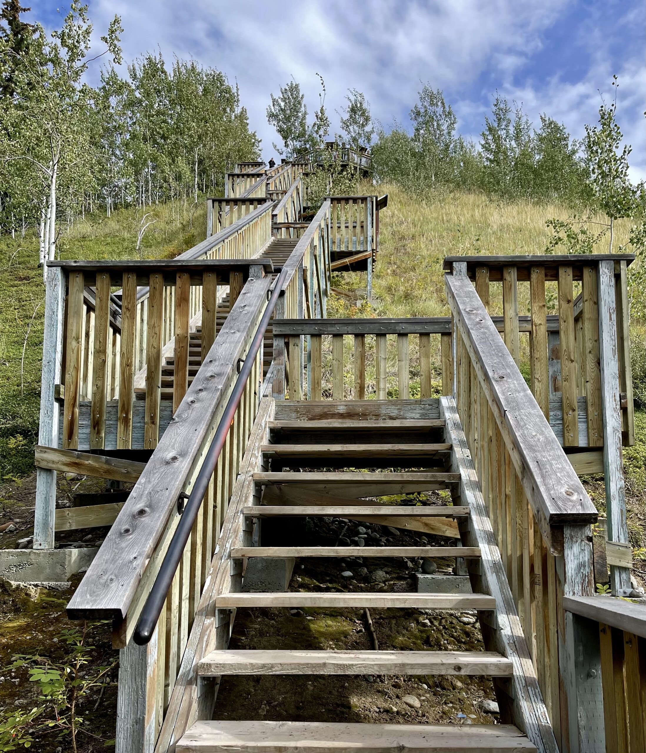
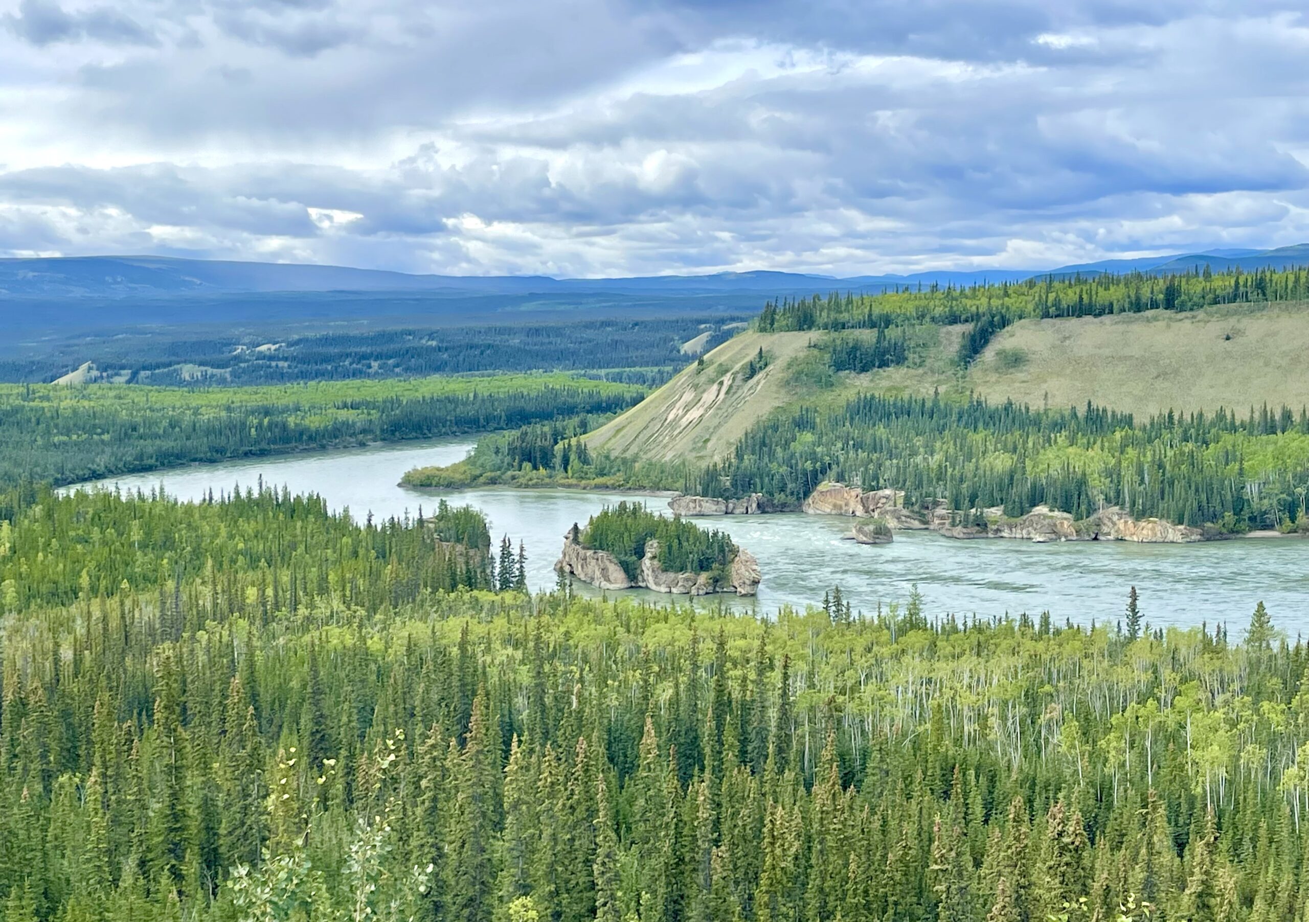
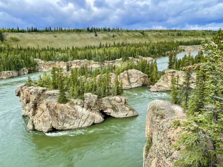
The Klondike Highway we’d been driving down had followed the Yukon River the entire way from Dawson City. For the most part the river’s not visible from the road, so we were happy to have a chance to explore it.


The hike brought us to the rushing Five Fingers rapids of the Yukon, so named because long rock formations in the river jutted up dozens of feet, forming five channels. Here, riverboats from Dawson City tried running the widest of the five rapids and usually – but not always – succeeded, sometimes with assistance of a cable from shore. Eventually, after several tragic accidents, the worst of the rapids were dynamited and sternwheelers made the trip for 40 more years until the railroad came.


After the hike, we continued down the Klondike Highway toward Whitehorse, population 25,085. The city is the capital of the Yukon Territory, the largest town in the Yukon and all of northern Canada, and by far the largest town we’d been in since Fairbanks, Alaska. It even had a Walmart. Needing groceries, we stopped at a real grocery store for the first time in a week. But we were shocked at how bare many of the shelves were. The supply issues had hit small towns like this much harder than those in the US.

Driving south on the Alcan provided different views from our route north
Marsh Lake, which is really a wide spot in the Yukon River

At Whitehorse, we rejoined the Alcan (Alaska-Canada) Highway for a few hundred miles heading southeast, with gorgeous scenery much of the way. We passed granite peaks and went by serene Marsh Lake—which is basically a wide spot in the Yukon River.

Our gravel pit campsite. We learned that gravel areas have less mosquitoes and this one had a peaceful, wild feeling to it

As night approached, we found a large, level, very open yet secluded gravel area (okay, let’s call it what it was—an enormous gravel pit) just off the highway to boondock. We were not all that far from where we’d seen the wolf while we were coming the other way on the Alcan two or three weeks before. Even after driving 1,000 miles from the Arctic Ocean, we were still in the wilds of the Yukon.


We were heading south now and feeling a little nostalgic already. The trip was far from over; we still had the equivalent of driving nearly from New York to Los Angeles before we’d be close to home. And we still had a lot of exploring left, but there was no doubt we were now headed back.

Canada/Arctic road trip point musings and pro tips:

  • Canada is BIG.
  • If you’re going to drive up here, buy the best tires you can get.
  • You don’t have to get an early start this far north in summer, though you can. It’ll be light out very early and stay that way until very late. Reaching a campsite by as late as 10:00 pm still gives plenty of daylight for making dinner.
  • Canadian highways have a lot of trash cans long the way and hardly any trash.
  • Canadian road signs can be annoying. They’re often are no street name signs and information signs often are absent altogether or are located too late to be seen until after you pass them.
  • Smart watches are dumb up here. Without a signal, they’re just expensive timepieces.
  • Wind, rain, and large gravel areas mean less mosquitoes.
  • Canadians are nearly always friendly.
  • People drive slower (and speed limits are lower) in Canada.
  • Driving for hours every day, then sleeping in the same vehicle really makes you want to get outside. But it probably will be at least chilly so bring cool weather gear.
  • Don’t be in a hurry.

One Response

Leave a Reply

Share this post