Post #36: Obsidian obsession

May 28-29, 2020

To get a perfect night’s sleep requires several things. Each sense must be completely satisfied. A soft comfortable surface to lie on, maybe a cool gentle breeze against skin. A subtle scent of pine or clean air or clean sheets or a favorite neck. The gentle sound of a small creek, unhurried, or the sighing of pines in the wind. A dark place to rest eyes with no more than a few billion stars. Last night was such a perfect sleep and I woke just as the sky was lightening, well before 5 am, refreshed.

View of Warner Lakes while descending Hart Mountain from the antelope refuge

By just after 6, we were underway, leaving a most peaceful campground. On the way out of the National Antelope Refuge, we saw two more antelope silhouetted against the sky as a parting gift. The long dusty dirt road down the mountain seemed shorter than the way up and soon we passed the huge shallow lakes filled with birds, ducks, and geese.

In the small town of Lakeview, Oregon we pulled into a drive-in at a tiny coffee stand for the real stuff. “Dark roast with a shot of espresso please.” The woman at the window handed it to us and said, “Here’s a shot in the dark.” We laughed. Then we filled up on gas—or I should say the attendant did. In Oregon, you’re deemed too inept to pump your own gas, though at least the price was good and it ensured employment for the attendant.

Howdy!
White pelicans basking in the morning sun
Love the peace sign. Not surprising, as this is in Oregon

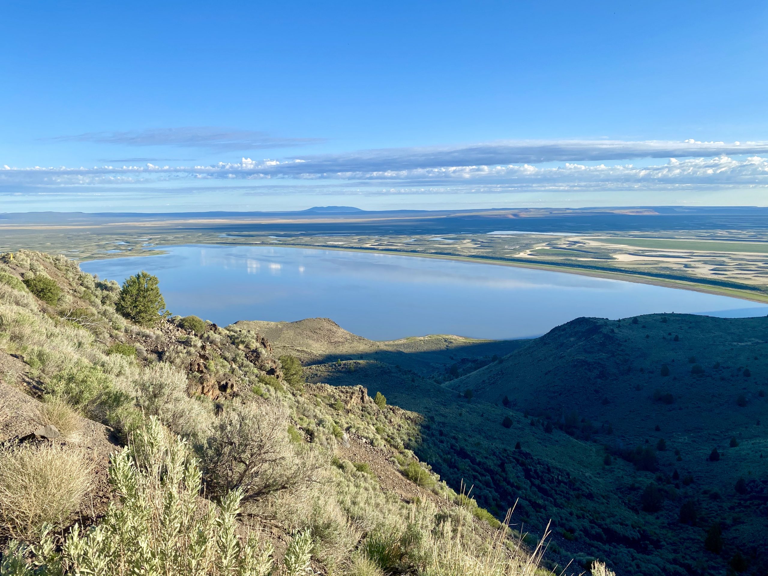
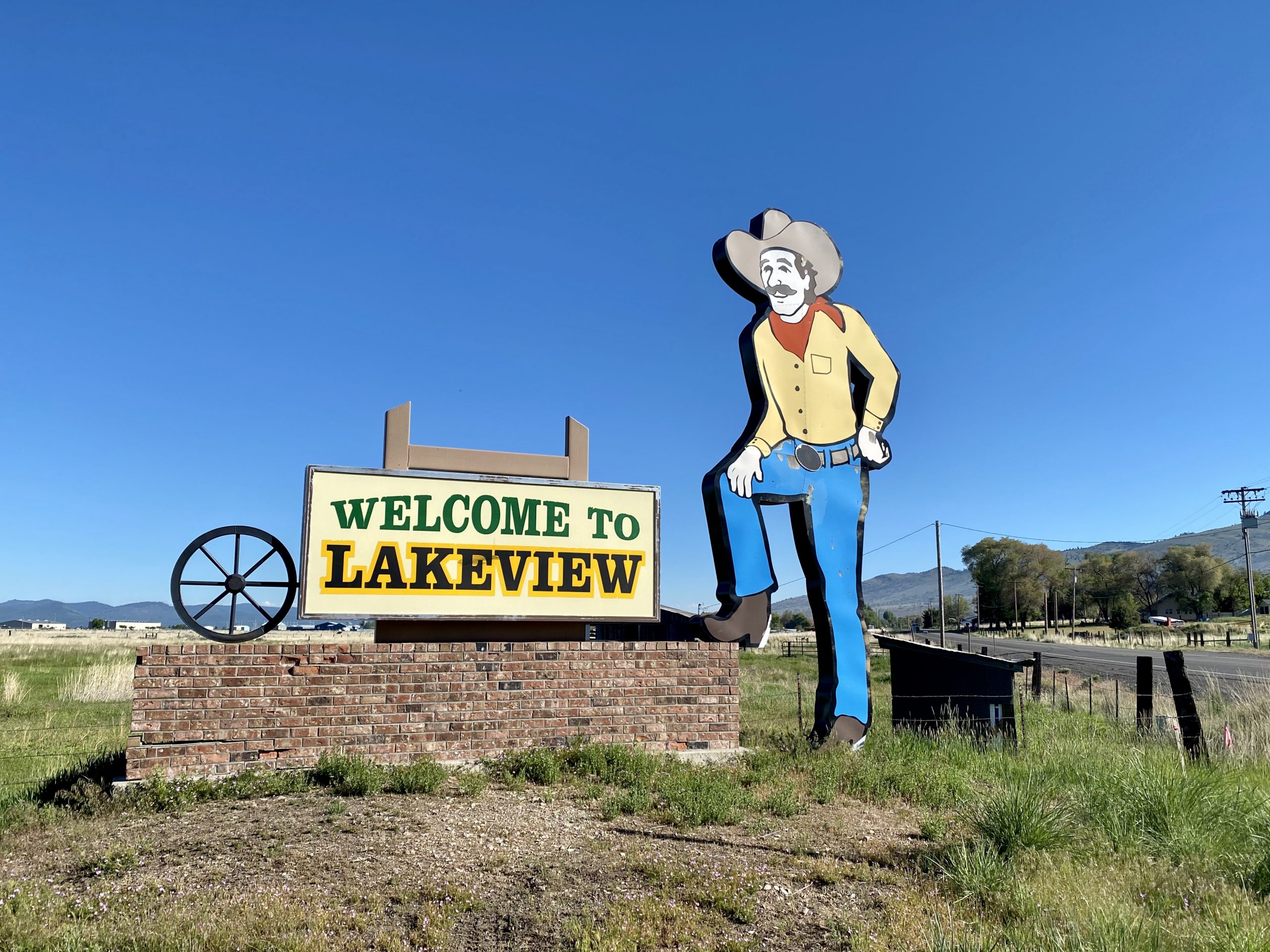
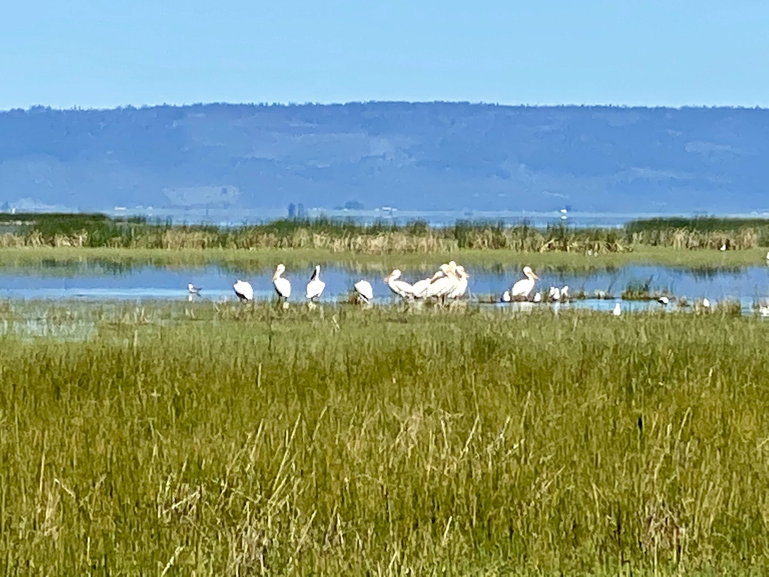
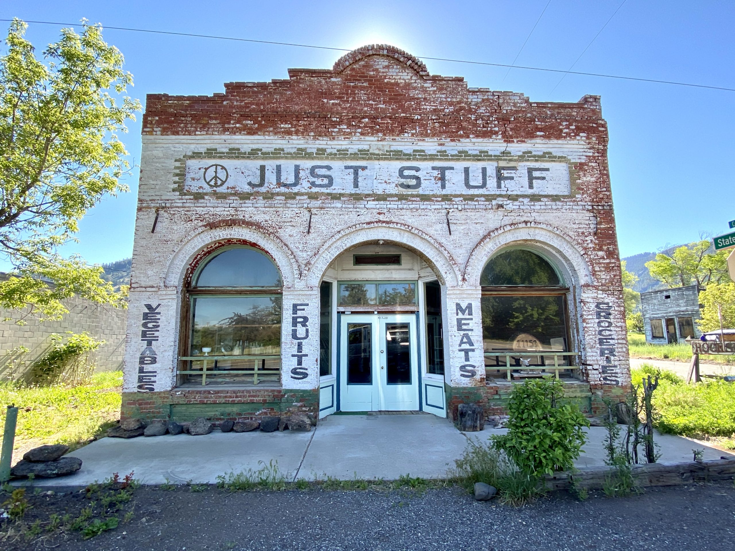
As we approached the California border, we briefly turned off at a small Oregon State Recreation Area on the banks of Goose Lake, which straddled the border. One side of the dirt road was Oregon, the other side was California. We wondered how life might be different between neighbors on either side. We watched the peaceful scene of white pelicans enjoying the marshes by the shore of the lake. Turning south back on the highway, we entered California and came through the tiny town of New Pine Creek where we wished we could have stopped at the inviting little Just Stuff store but, alas, it was closed due to Covid.

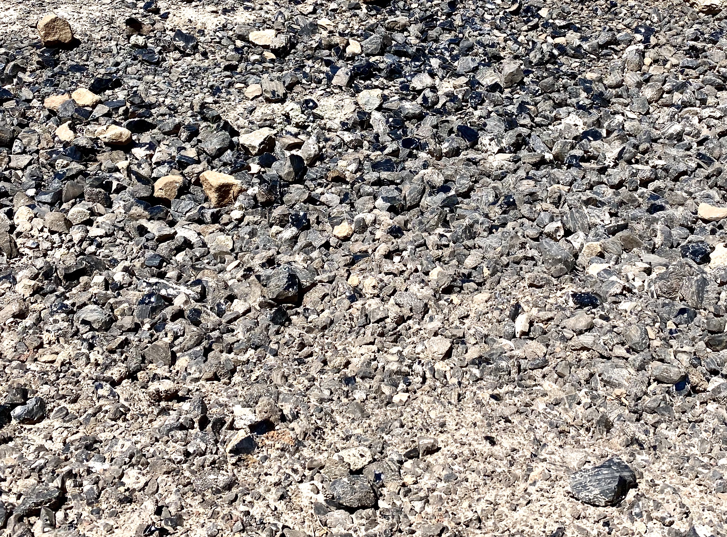
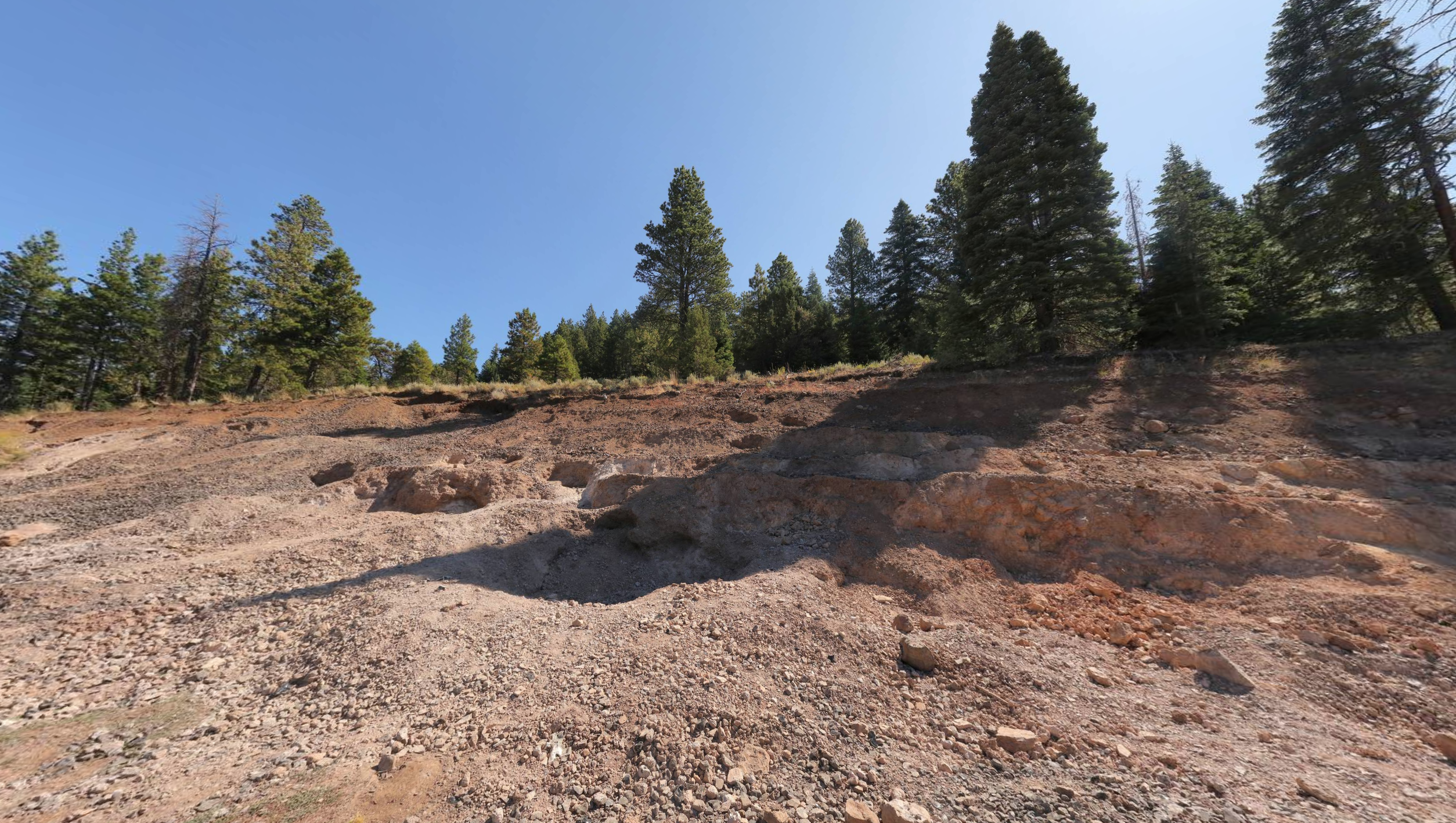
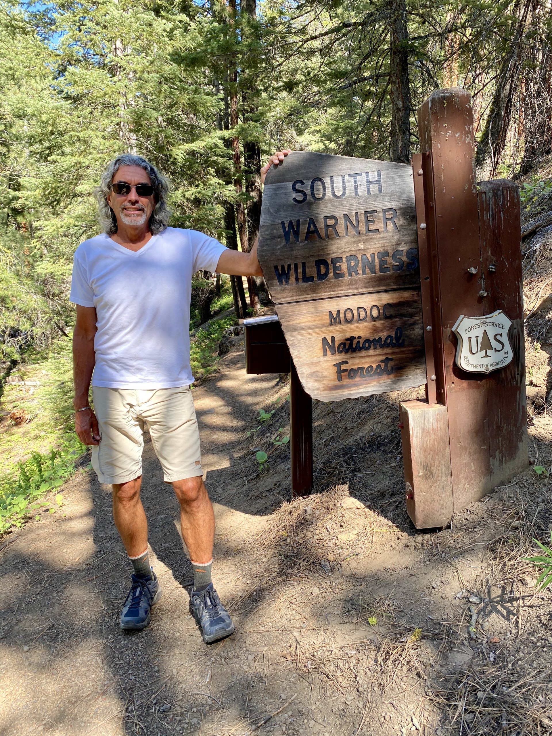
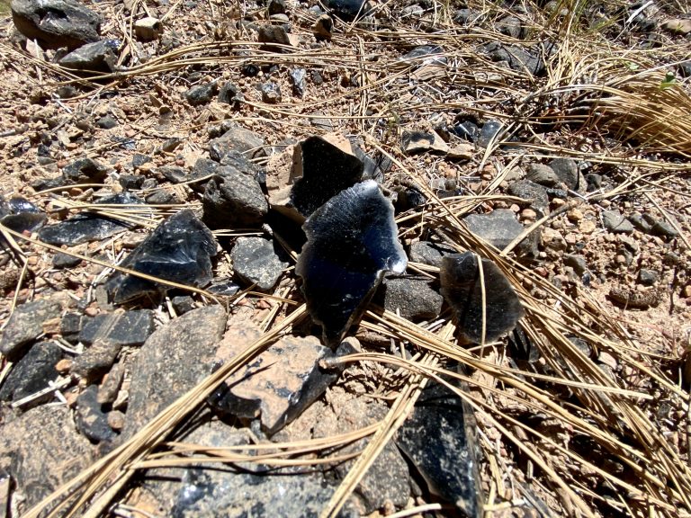
Our next stop was the Obsidian Mines of Modoc, which sounded like something from Tolkien. The National Forest Service allows individuals to collect small amounts of obsidian there for personal use. The mines were supposed to be somewhat difficult to find, but that challenge made us even more determined.

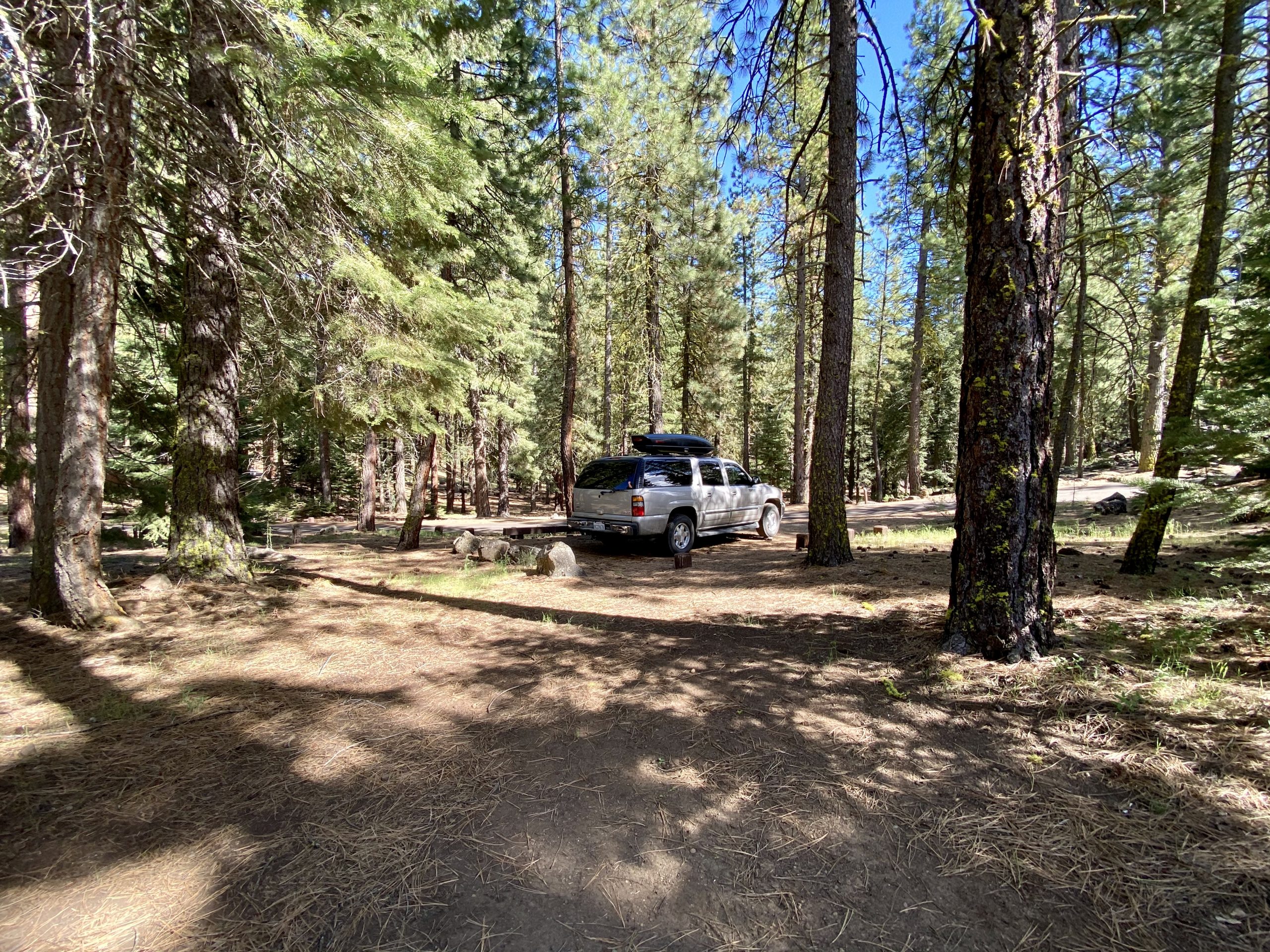
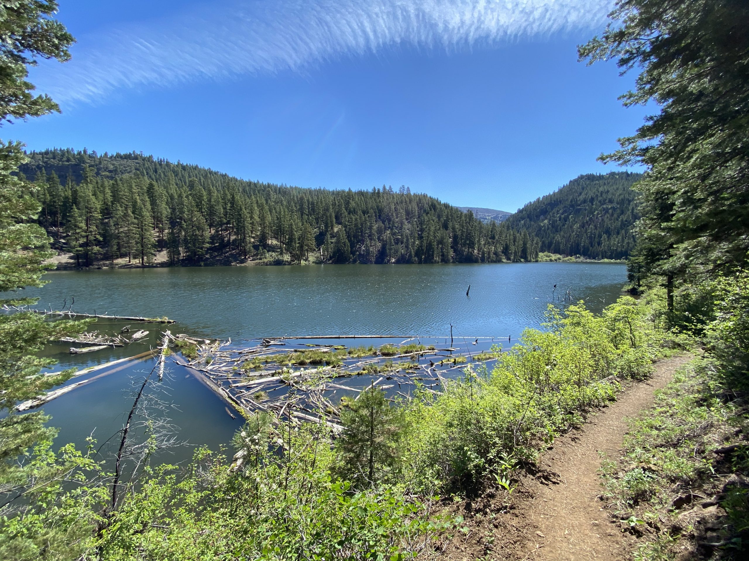
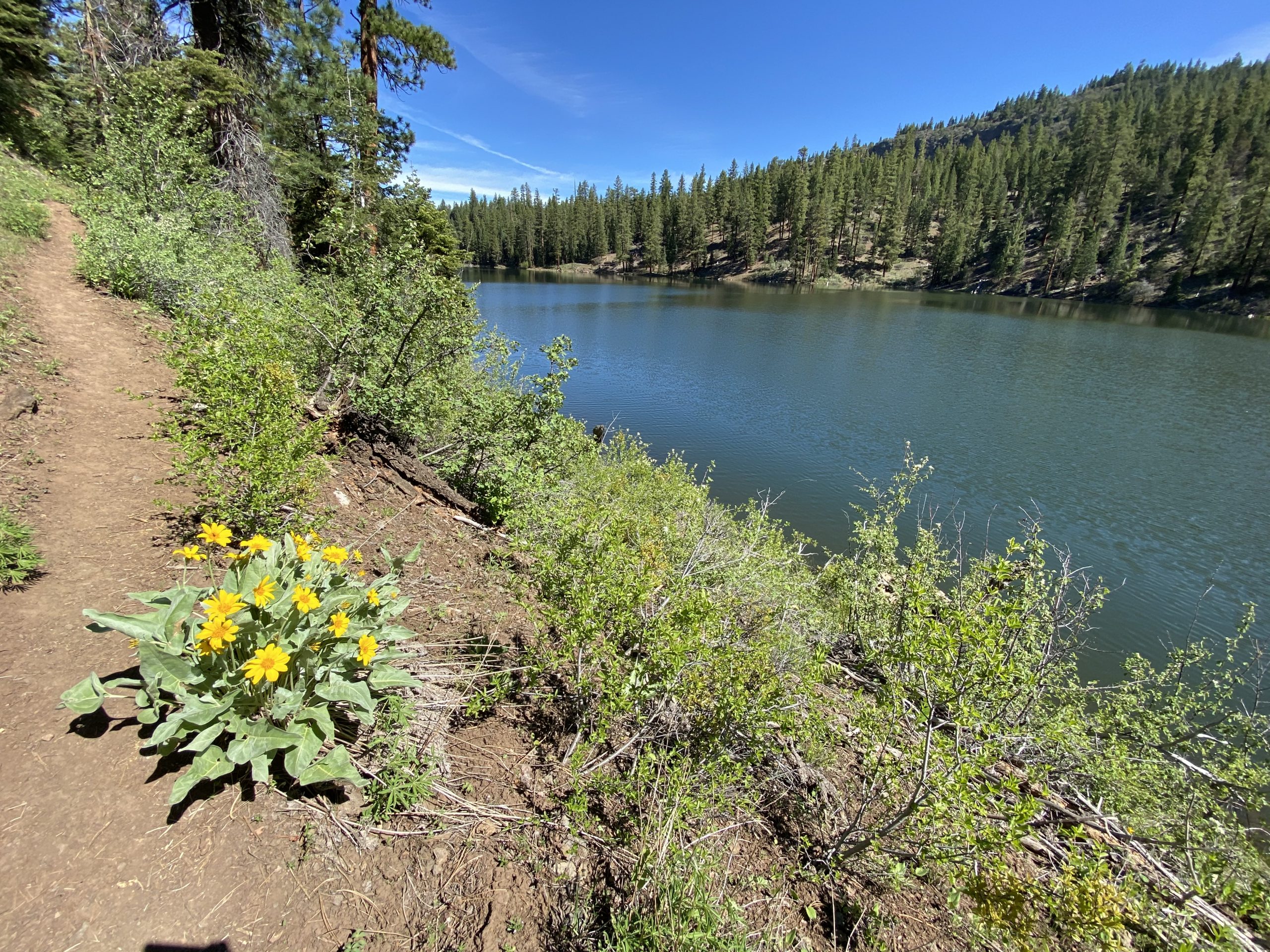
A long drive up and down a good dirt road eventually brought us across a tiny bridge to a national forest campground, near where we would try to find the mine. The road, it turned out, was good because it had just been graded, evidenced by the giant grader that almost ran us off the narrow road on the way in.

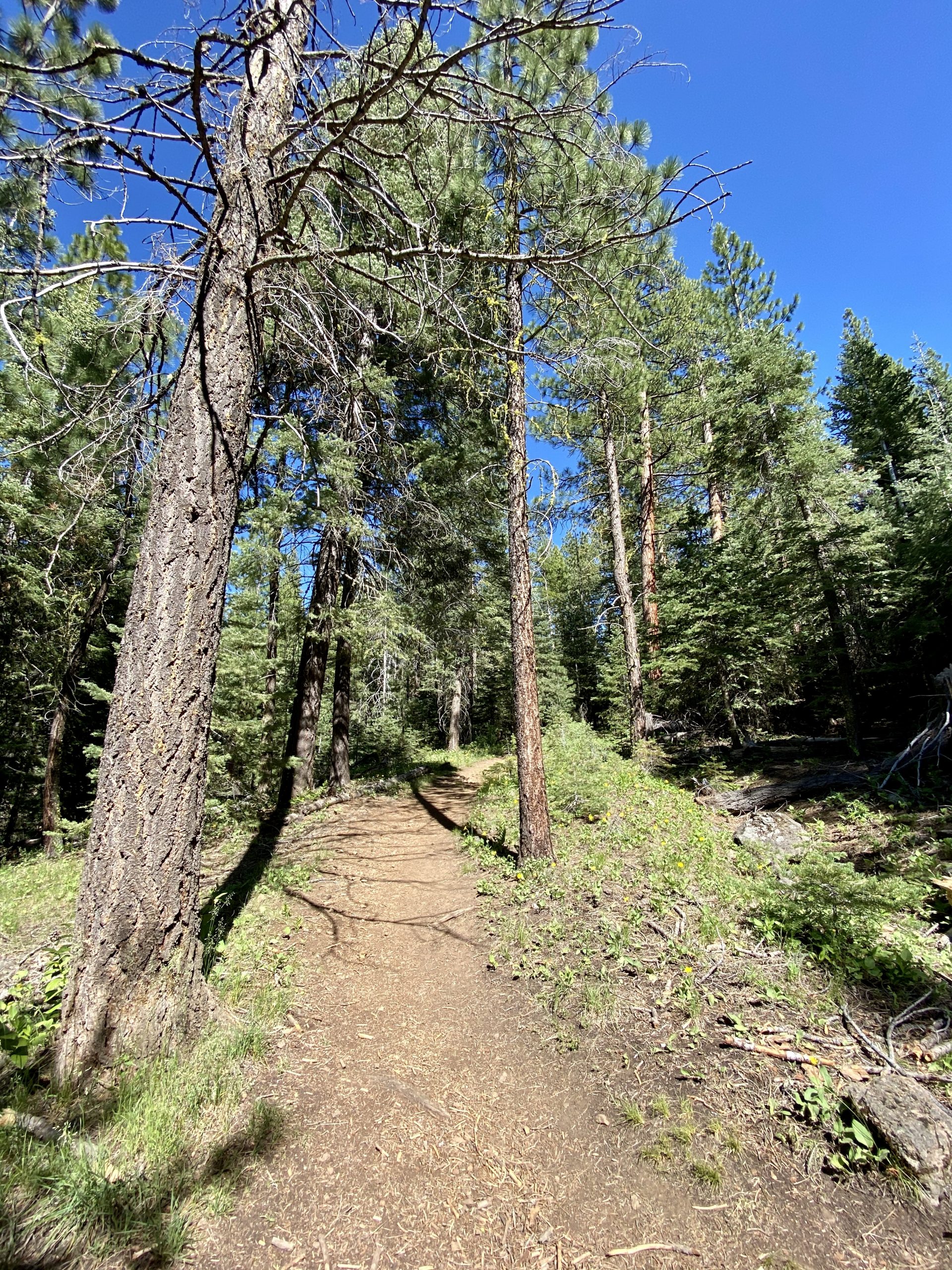
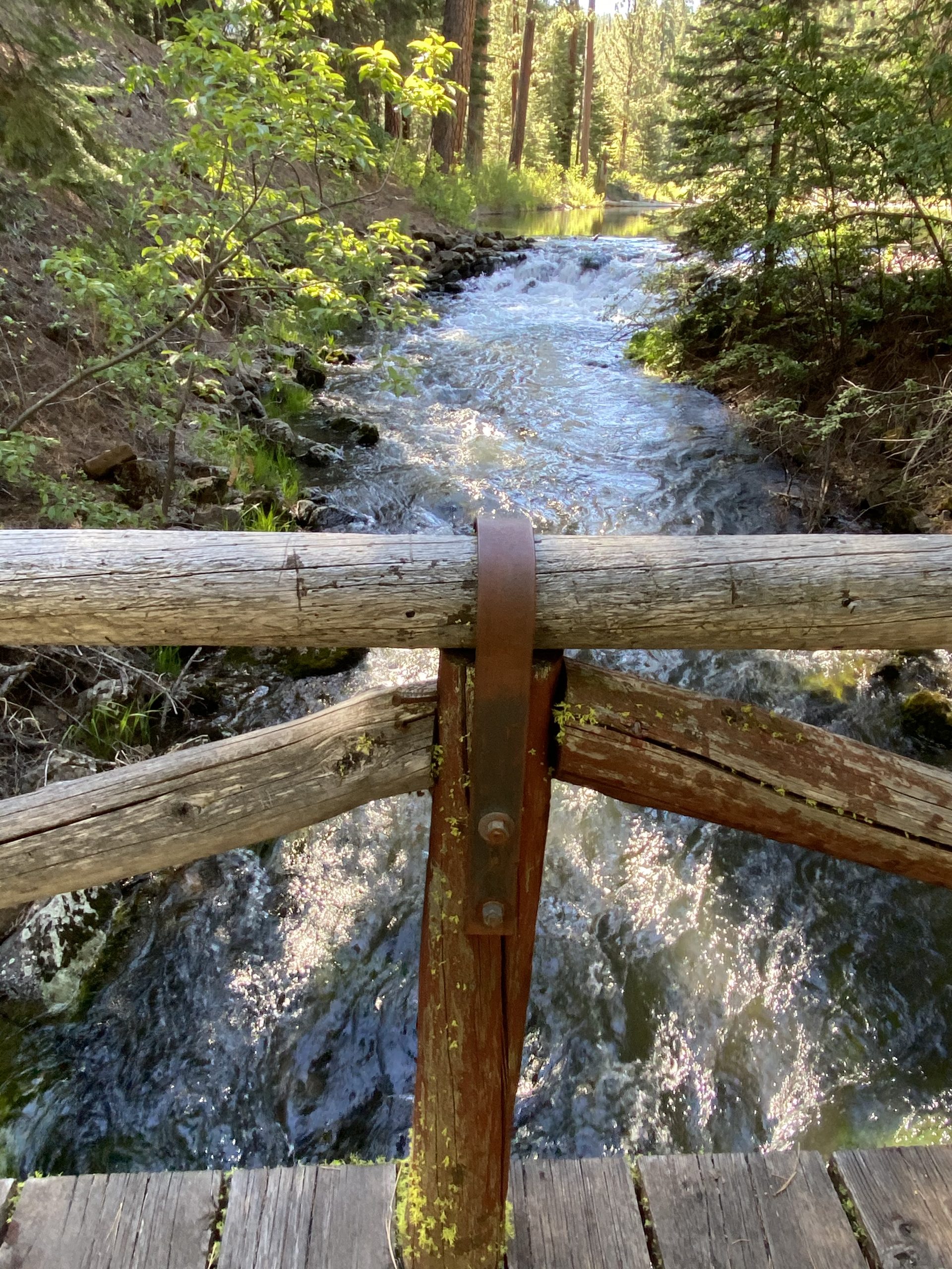
We consulted our various maps, including a map book of California, the Gaia GPS map app (which cost $40 a year but includes even backcountry forest service roads) and Maps.me, a free app on my phone that, along with Gaia, can be used with no internet connection if the maps are downloaded at home. They all agreed that we’d need to ford a small stream at the campground and walk up a different road on the other side for about a half mile. We donned our water shoes and put hiking boots in a backpack for the two-foot deep ten-foot wide crossing and then worked our way up through the brush to the road. We hiked up the road only to realize within a few hundred feet that we were on the exact same road we’d turned off of to cross the creek. We felt silly having gone to the trouble to cross the creek, but no one saw it and our feet were happy for the cold bath.

A few acres of black obsidian strewn about

When we got to the Lassen Creek Rainbow Mine, we saw that it was really just several places that someone had excavated a few ten-foot deep holes and apparently sifted through the tailings, looking for an elusive pink or even rainbow-colored chunk of obsidian. All we saw were tons upon tons of pitch-black obsidian, shiny and pretty, sharp as glass, but none pink nor rainbow hued.

Wandering around I came across an abandoned car, stripped and filled with bullet holes. It looked to be from the 50’s and I had no idea how it made it up to the mine area. I expected to find a dead body or two in the trunk, but apparently the mountain creatures had cleaned out the car over the years and the trunk was empty.

A fixer upper

We returned to the campground via the road this time and set up under the shade of giant ponderosa pines to make a quick PB&J lunch and relax for a little. 

This mine was made up of many levels cut into the hillside
Our collection

But another obsidian mine at Middle Fork Davis Creek was not far and on the way to where we could eventually get out of the forest and back on the main highway, so soon we packed up and left. The road turned from good to rattle-the-campstove bad but eventually we found the next mine and set about once again looking for ultra-valuable rainbow obsidian. Alas, all we found was sunburn and some grayish streaked, mahogany, and more black obsidian, which we decided was pretty great after all. Susan was carrying a handful of pieces when she declared it was time to get the first aid kit. Obsidian is volcanic glass and the pieces we collected were pretty much razor sharp. We returned to get a bandage for the cut at the base of her thumb before the bears might have smelled the blood. 

Patched up, we followed the bad road to the better road and eventually to the highway where at least 50 pounds of brown road dust was swept off the truck by the 70-mph highway speed. We followed the road until another one turned back into the Warner Mountains and climbed higher and higher on a nearly empty paved road that lead to another campground where we hoped to spend the night.

Git along, little doggies!

As we rounded a curve in the road, we had to quickly brake for a cowboy on horseback. We knew he was a cowboy because two seconds later around the curve we saw a small herd of about 50 cattle and two more cowboys who, with the help of a border collie, were trying to get the cattle to move down the road. One of them tipped his hat to me as he passed. Probably knew I was a Texan, I thought to myself.

Before we started climbing the road it was 90 degrees out but by the time we reached the campground we were at 5,700 feet elevation and it was barely 80. 

We're getting used to having beautiful trails all to ourselves
Entering the Wilderness Area

We started hiking up a short trail that lead into the South Warner Wilderness Area to a large waterfall within earshot of the campsite until Susan declared that it was time once again to get the first aid kit as she bashed her knee on a sharp branch protruding from a log on the trail. 

Patched again, we continued to the falls, which were spectacular because of the high temperatures that were quickly melting the mountain snow. Susan limped back, promising to hike further up the falls tomorrow—as long as I brought the first aid kit.

Injured but still smiling
Thunderous 80-foot high Mill Creek Falls in the late afternoon
Another day, another campsite

We returned to our campsite where the black pines and some firs provided just the right amount of shade. We were surprised to find that even in this remote area we had a little Internet on our phones. We checked the news and learned of the mounting protests spurred by the George Floyd homicide. Sometimes it seems better not to be able to learn the news while in the wilderness. Shocked, we agreed to put our phones down but decided we’d head home tomorrow, avoid the stormy weather, and become more engaged in the turbulent world. 

Few people were at the campground so we decided it was time to try our new three-gallon stockpot shower system. I filled up the pot, put it on the campstove and in 12 minutes the water was hot enough (some would say too hot) for two quick showers. We used all three gallons, though some was used to clean off our water shoes, which still were wet from the unnecessary fording of the stream and were the only things we wore while using the battery-powered shower pump. 

As the night chilled, we crawled into bed (carefully, lest we need the first aid kit again) and listened to the distant waterfall.

Clear Lake with spring wildflowers in the South Warner Wilderness
Bridge over the creek between Clear Lake and Mill Creek Falls
Mill Creek Falls before the sun had fully risen over the canyon

Morning dawned with some clouds, signaling the forecasted rainy cool spell. After breakfast, we hiked up the trail back into the wilderness to find Clear Lake, which fed the mighty falls. 

Susan’s bashed knee was a little swollen and sore so after going a mile or so around the lake we decided we’d need to come back another day to fully circle the lake and take some of the other trails. We’ve learned that it’s rarely a good idea to push through the pain of an injury when you have a choice, so we reluctantly went back to camp and packed up for the drive home.

As we left the national forest campground, I realized that I’d never been to one that nestled against a designated wilderness area. Usually, wilderness areas require strenuous and often overnight hikes, but this one allowed anyone willing to drive to the far northeastern corner of California a chance to see old-growth and un-roaded protected areas. As a bonus, the road to the campground was completely paved.

On the way home, we took highway 395, the same one that we previously drove to Alabama Hills and Mammoth Lakes, hundreds of miles to the south. There are few places along that highway that aren’t full of beautiful scenery and this stretch didn’t disappoint either.

Before we got home though, we needed to find a place to fix Susan’s phone that she had damaged along with her hand on the sharp obsidian. Fortunately, in the little town of Chico, we discovered only the glass screen protector was damaged and we went home with a fixed phone and a healing hiker, watching the clouds build into thunderstorms.

Leave a Reply

Share this post