March 27, 2021
We were awakened by a stereotype at 3 am: a lone coyote (likely near a saguaro cactus, I was sure) was howling not far away at the full moon.
We woke again at daybreak to what sounded like large raindrops on the roof, but which turned out to be sleet, something not in the forecast though we had no cell service and only had an old forecast.
As we lay in bed, the sleet alternated with light rain, then snow. It was hard to get up knowing it was 32 degrees outside while we were toasty inside. But by now, we were getting used to the cold, having been at high elevation for several days with chilly nights.
We left the circular campsite, headed up the highway and climbed farther up into the mountains while the light snow flew. Within a few miles we saw a sign saying we were crossing the continental divide and we headed into the eastern drainage of the U.S.
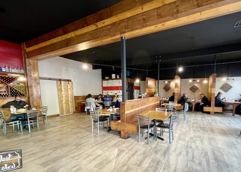
The town looked mostly asleep at 9 am but a breakfast place was open so we stopped in. It wasn’t very full when we arrived but there was a line by the time we left. I ordered a southwestern special that was so large I ate about a third of it there, had more of it for lunch and the rest was dinner that night.
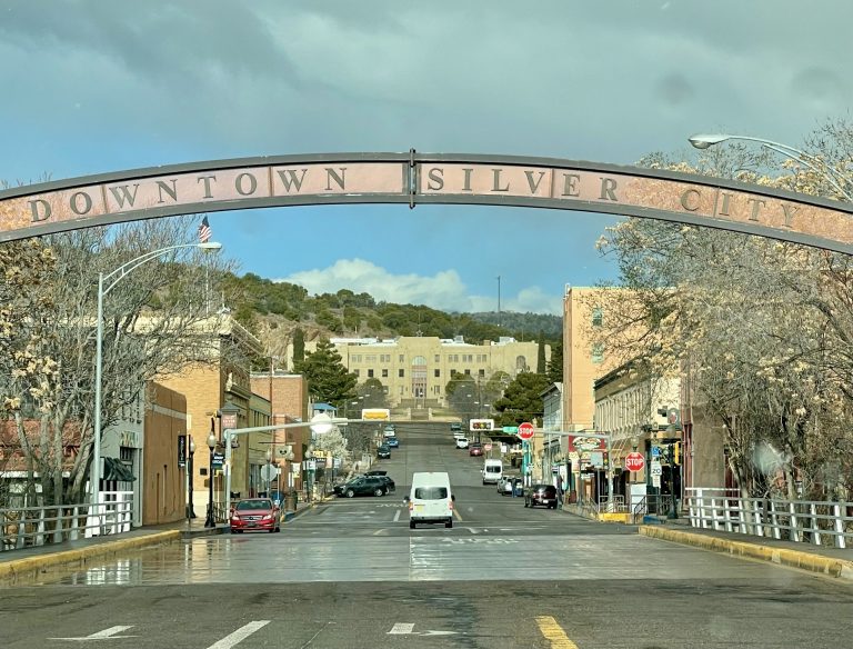
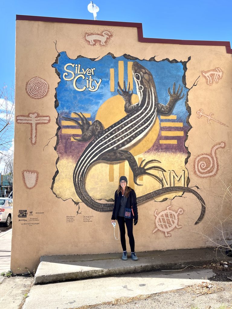
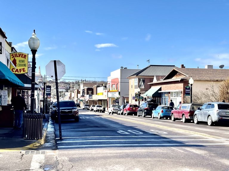
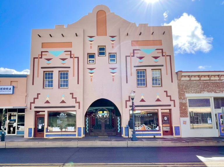
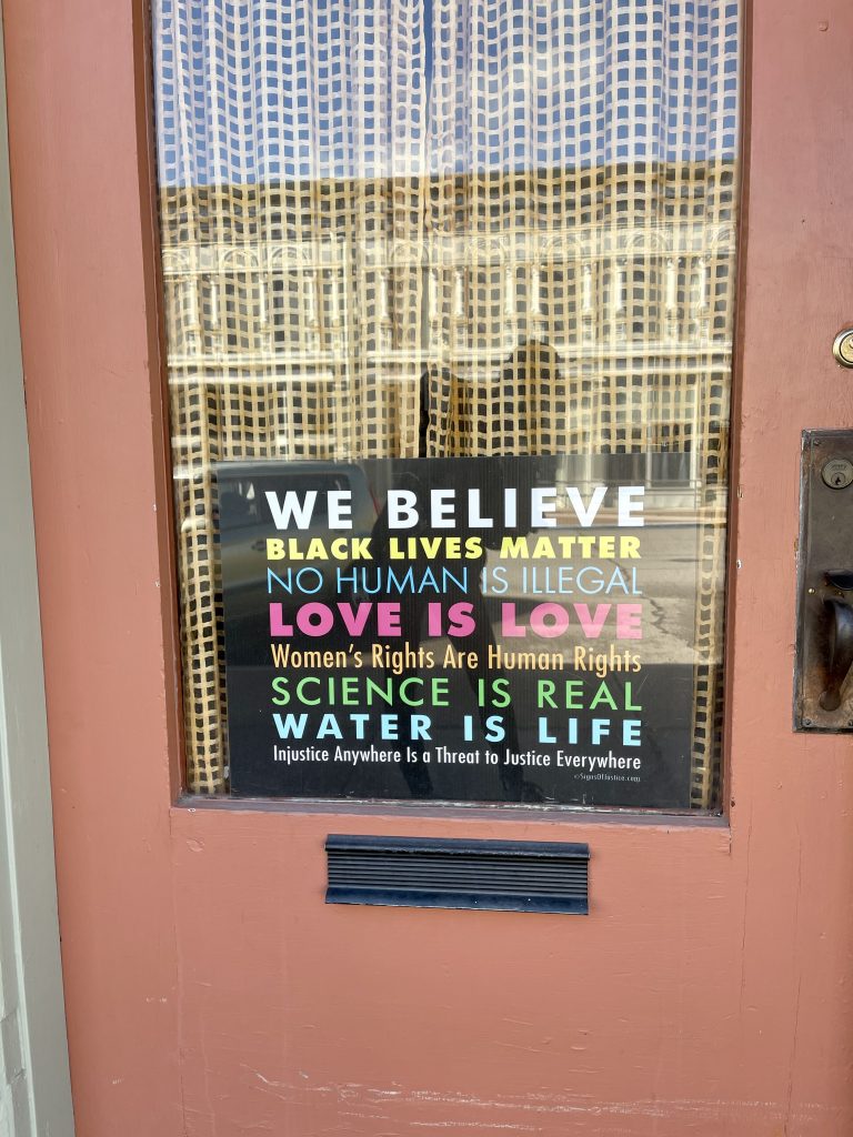
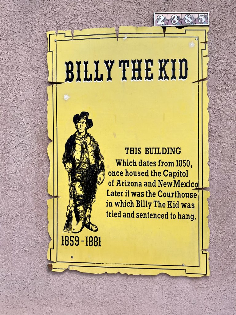
After breakfast, we wandered the town as it woke up. Silver City was another old mining town that remade itself into a comfortable, artsy, politically left-leaning town. Like Bisbee, Tombstone and Jerome, Arizona, this New Mexico town also had lots of Old West history; it was where Billy the Kid was first arrested and where Butch Cassidy frequented the saloons.
As we walked around the town, one thing we noticed was that, unlike Arizona where mask-wearing was more the exception than the rule, in Silver City (and the rest of New Mexico), masks were still required indoors and out. At well over a mile high, it was a cold morning. We stopped at a secondhand store with dirt cheap prices and a 75-percent getting-rid-of winter-clothes discount on top of it. For less than $3 total, we picked up some nice designer shirts ($0.25 each), I got a Patagonia pullover for $2, and Susan got a free faux fur-collared sweater.
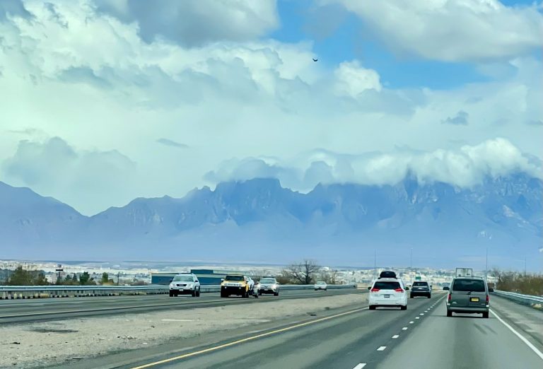
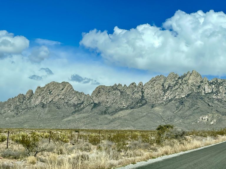
Las Cruces was next, a couple of hours away. Coming down the interstate, the Organ Mountains form a beautiful backdrop for the city, and we were eager to explore it. Unfortunately, we discovered that there’s really no downtown, which is odd for a city of nearly 100,000. We’d missed the farmers market in a new part of town and there wasn’t much else to see.
So, after walking around Las Cruces briefly, we went to the adjacent historic town of Messila.
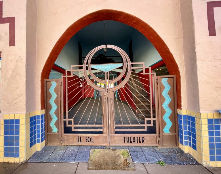
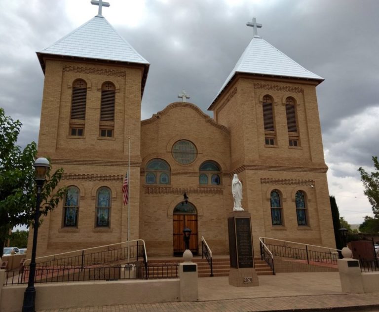
Mesilla is a tiny historic town on the National Register of Historic Places, with its historic district managed by the National Park Service. The town instantly transported us back to Mexico. And with good reason—Mesilla originally was part of Mexico when changed hands after the Mexican-American War of 1846. Like typical Mexican towns, Mesilla is built around a central plaza with a church at one end. We walked around the plaza and down some of the adjacent streets. Many of the buildings were constructed of adobe and logs in the classic New Mexican style. The restaurants nearly all served Mexican food and the shops mostly sold Mexican wares and touristy stuff.
It was mid-afternoon when we left Mesilla and began driving east toward White Sands National Park, about an hour away. Ever the photographer, Susan didn’t want to get there until the morning when the light strikes the sand dunes just so. We decided to let the rest of the day unfold organically.
As we drove east toward White Sands National Park, we could see the dramatic granite pinnacles of the Organ Mountains towering ahead of us. While I drove closer to them, Susan looked online on her phone and discovered we were near the entrance to the recently established Organ Mountain Desert Peaks National Monument.
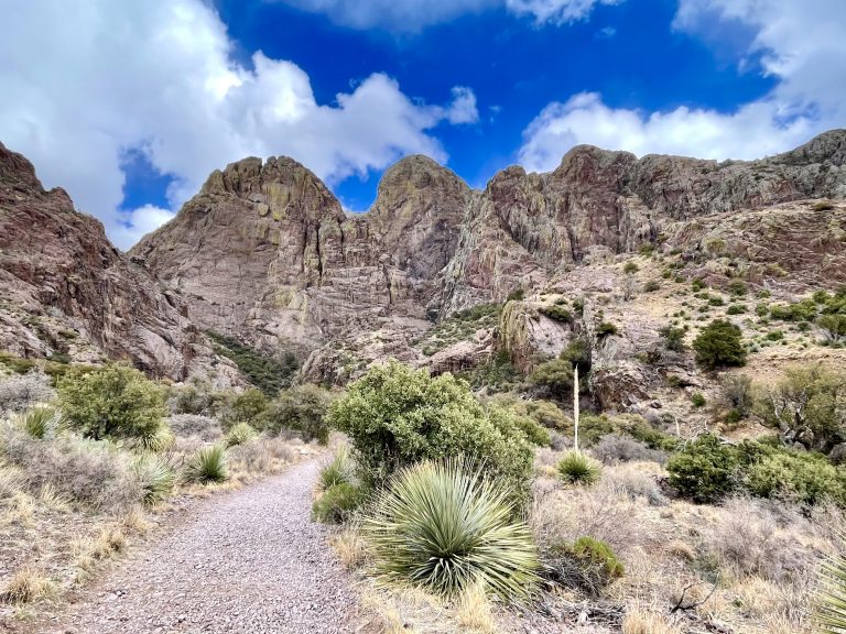
I made a quick turn off the highway and ten minutes later we were at the Monument and hiking up a moderate trail with both natural beauty and historic interest.
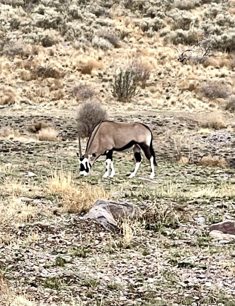
About midway up the Dripping Springs Trail, we spotted an oryx grazing nearby and we did a double take. Oryx are native only to the Kalahari Desert but, as we later learned, about 100 oryx were introduced into the wild in New Mexico in the late 60’s and early 70’s. The idea was to provide exotic big game hunting opportunities. Oryx took well to their new environment and the original oryx multiplied into the thousands. As all too often occurs when non-native species are introduced, the oryx are now problematic. Though hunters have killed about 5,000 of them, an equal number still roam the area and have been found as far away as Texas. They’re hearty animals and have outcompeted native wildlife for the desert’s sparse food resources.
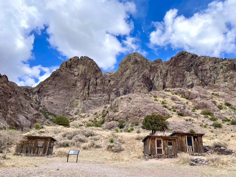
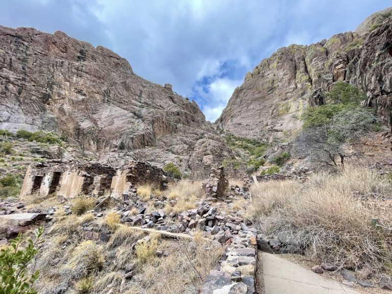
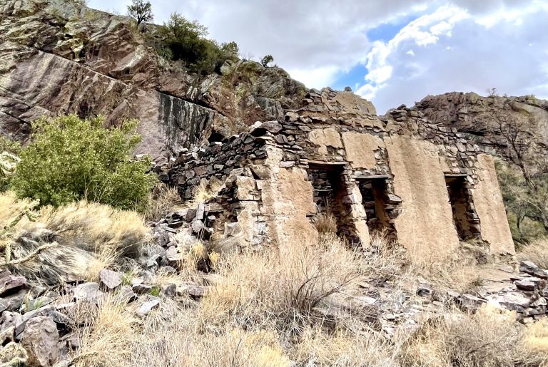
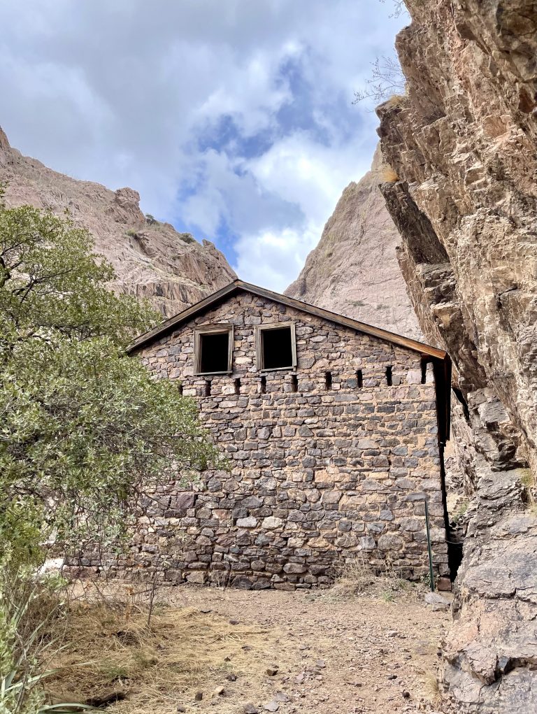
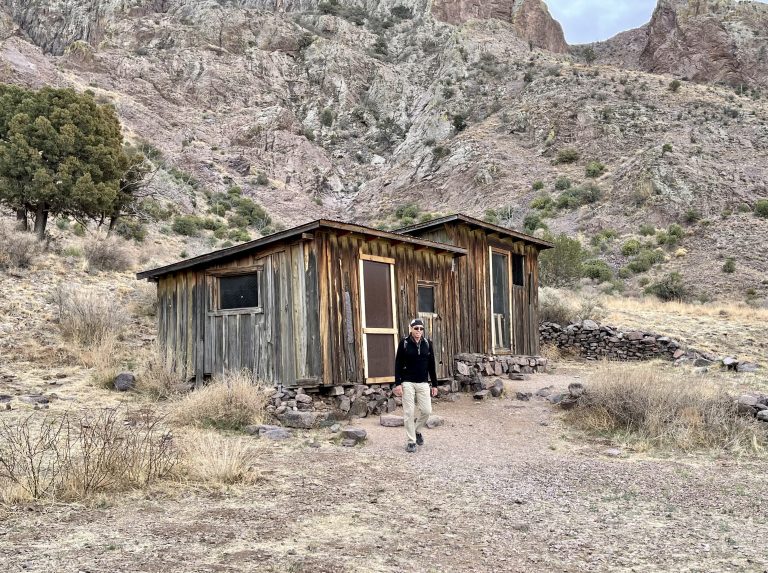
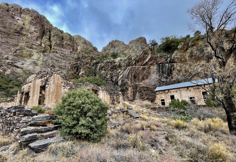
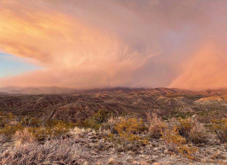
The trail follows an old stagecoach road up to what used to be a resort. After about two miles of hiking, we came upon the decaying structures of what was once an exclusive retreat by a spring at the foot of the mountains. In the late 1880s, Colonel Van Patten homesteaded at the spring and built the resort with a hotel and restaurant tucked in the mountains. Some stone buildings remain as well as a dam used to collect water for the resort. We explored the decaying buildings before turning back when we saw more rain clouds heading our way.
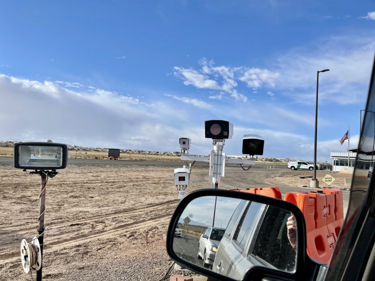
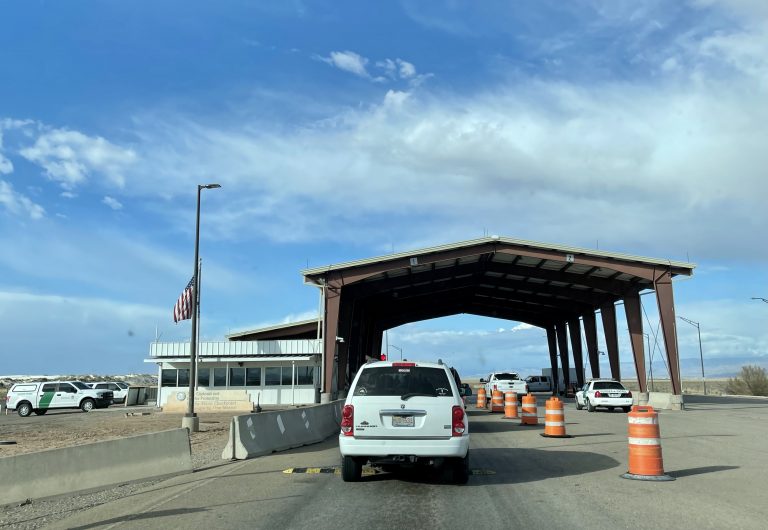
We hadn’t driven far before all traffic stopped for a U.S. Border Patrol Check Point, complete with two banks of a dozen cameras and sensors that scanned every vehicle before an agent peered into each one, asking a few questions. I wondered if they would ask us to open the roof top carrier, which was just big enough for a small person to fit inside, but they didn’t (and couldn’t because of the Fourth Amendment, according to my lawyer sitting next to me).
Soon, we began looking for a place to sleep for the night. Some of the land surrounding the Organ Mountain Monument was BLM, so we could camp there, but it was flat and boring. We continued in the direction of White Sands National Park, about a half hour away. Our plan was to go to the park at daybreak the next morning and we hoped to find something that wouldn’t be too far from there. No more BLM land was near, but the map revealed that the Lincoln National Forest was just a few miles past the park.
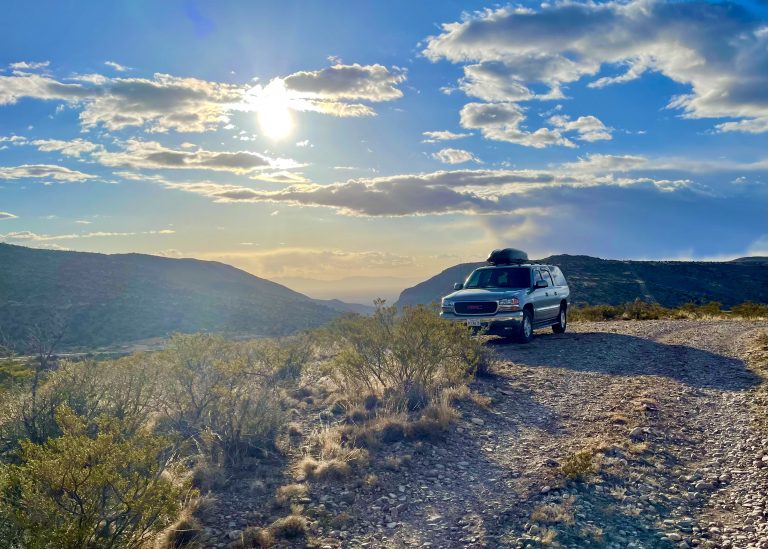
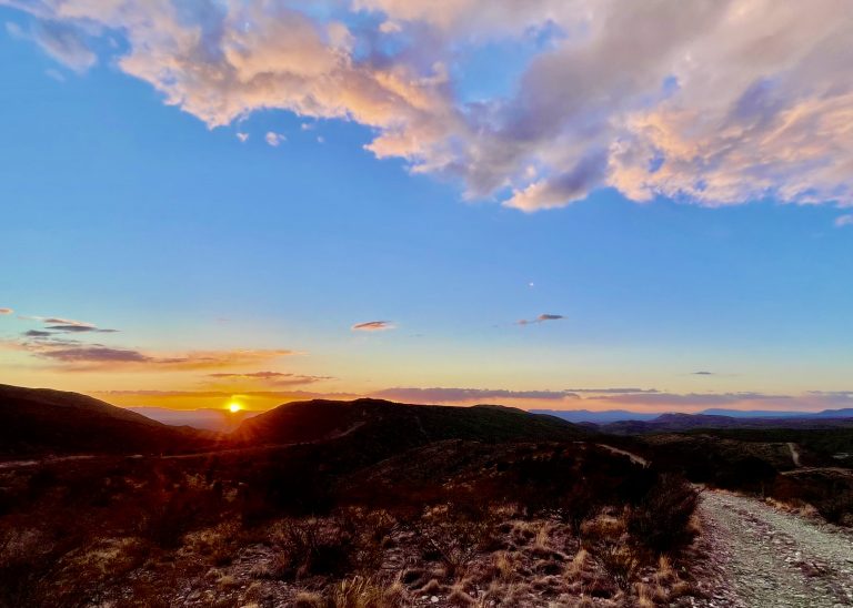
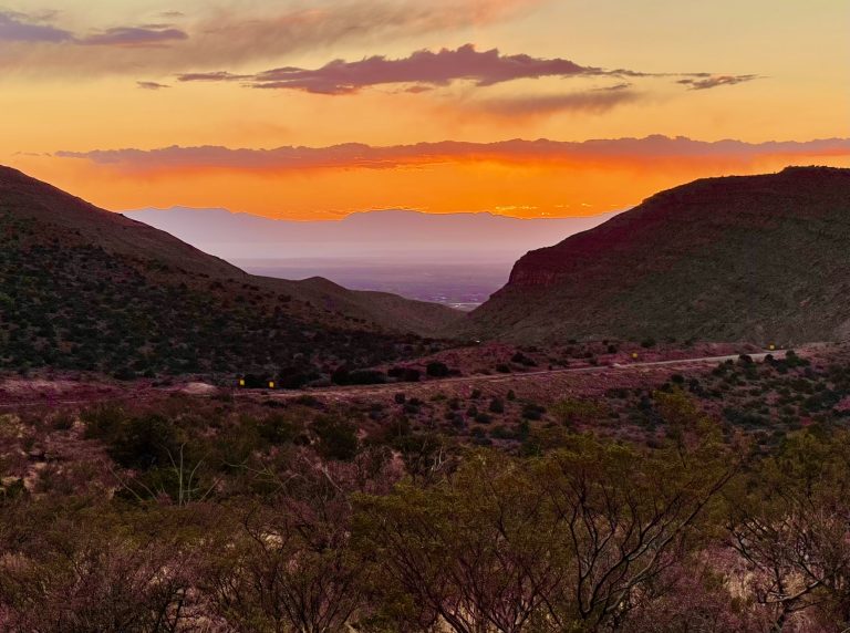
Just after we began climbing into the mountains we spotted a dirt road off the highway, then another single lane road that followed a very narrow ridge that was barely wide enough for the road. It climbed and, after a mile or so, it widened a few more feet and we both knew it was a perfect place to camp. The mountains were in front of us and the valley was behind us and the ridge gave us commanding 360 degree views.

