Post #114: Million-dollar highway

August 31-September 1, 2021


I don’t know what it is about Gunnison, but both times we’ve been there it’s been the coldest weather of the trip. The last time we were here was in March and we’d hoped to camp nearby for the night but we had to get a hotel because we were not prepared to camp in 15-degree weather. When we arrived yesterday it was 82 degrees but overnight the temperature dropped almost 50 degrees.


After breakfast, we drove south along U.S. Route 50 as it ran through the Curecanti National Recreation Area, made up of three large reservoirs created by damming the once-wild Gunnison River. The lakes were much lower than they were when we passed by them in the spring, looking now more like a drought-induced California lake. Though the nighttime temperature hovered around freezing even in summer, the lakes also were no longer frozen.

We went down (and later back up) 220 stairs to reach the river
The river shimmered in the sun beneath the jagged canyon walls

We found an out-and-back morning hike on Pine Creek Trail. The trail went down to, then followed the Gunnison River through a beautiful deep rocky canyon with walls hundreds of feet above us. The trail followed an old narrow gauge railroad bed along the riverbank for a little over a mile until it reached a boat dock for Morrow Point Reservoir boat tours.

The pontoon boat was not operating when we were there—we assumed because of Covid

It was hard to believe this little river carved out such a deep canyon on its way to join its big brother, the Colorado. But, of course, this was the same river that carved out the far grander Black Canyon of the Gunnison we’d visited in March. It was starkly beautiful with a few cedars along the path that wound along the riverbank. The temperature was barely over 60 degrees but we were huffing and sweating back up the 220 stone steps to get back to the parking lot.

Cimmaron River meet Gunnison River
Enjoying our second hike of the day
The only other people on the trail were a woman and her adorable twin sons

A little farther along the highway we stopped at another section of the gorge for the somewhat shorter but more challenging Mesa Creek Trail. The trail starts out following the Cimarron River to its confluence with the Gunnison River. 

Morrow Point Dam
Pedestrian bridge across the Gunnison

A half a mile upstream, a tall dam held back one of the reservoirs and generated power as the Gunnison gushed out. After checking out the dam, we headed downstream and followed the trail over a stout hiking bridge across the Gunnison.

The trail continued along the river through the canyon, repeatedly dipping down near the shoreline then climbing high above the river and winding through enormous boulders along the steep canyon walls.

The trestle and Train to Nowhere looked a bit like Thomas the Tank
A sign showed what the train looked like when it was in operation

After the hike, we drove back up the road from the trailhead toward the main road, stopping briefly along the way to check out a curious trestle with an original steam engine, tender, boxcar and caboose. We learned from a posted sign that the Denver & Rio Grande Railroad ran a narrow-gauge scenic passenger and freight train route through the gorge between the late 1800’s and the mid 1900’s. The sign quoted Rudyard Kipling who rode the train in 1889 and apparently was terrified. He wrote: “We entered the gorge, remote from the sun, where the rocks were 2,000 feet sheer. . . There was a glory and a wonder and a mystery about that mad ride which I felt keenly, until I had to offer prayers for the safety of the train.”

Approaching Ouray, Colorado
Ouray is a small and charming mountain town located at nearly 8,000 feet elevation
We noticed lots of adventure bikes and 4wd vehicles throughout the town

We continued our journey and eventually reached the pretty mountain town of Ouray, after driving through some magnificent mountain country, twice crossing passes of over 10,000 feet. The setting for Ouray was breathtaking. Soaring jagged peaks surrounded the town and you couldn’t look in any direction without a gasp of delight. 

The town was built along both sides of a fairly steep road, which passed several historic buildings
Taking a break on a park bench made of skis

We walked up the hilly street thinking it felt like a Swiss alpine village except nearly everyone drove big 4x4s and ate pizza. The town was little more than a few blocks along the main road and it obviously catered to the outdoorsy types with rooftop restaurants looking up into the peaks, Jeep rentals and stores that sold anything a traveler might need.


Leaving Ouray and heading toward Silverton, some 25 miles to the south, was easily as impressive as the charming mountain town itself. U.S. Highway 550 mostly follows the Uncompahgre Gorge, where for miles it hangs along the steep edge of the gorge with lots of 10-mph hairpin turns. The road is consistently included on lists of the top ten scenic highways in the U.S. and in 2013 it was the only highway in the lower 48 to make USA Today’s list of the “World’s Most Dangerous Roads” and we soon saw why.

View of Ouray from the road leaving town

Almost immediately upon leaving Ouray, the road began twisting around sharp corners as it climbed quickly through firs, with views of the tall jagged mountains and a view of Ouray far below. 

Red Mountain Pass

Some peaks were tinted red from the iron ore at a pass cleverly named Red Mountain Pass, where we stopped to check out the remains of an abandoned mining operation. 

Miners' cabins alongside the Million Dollar Highway

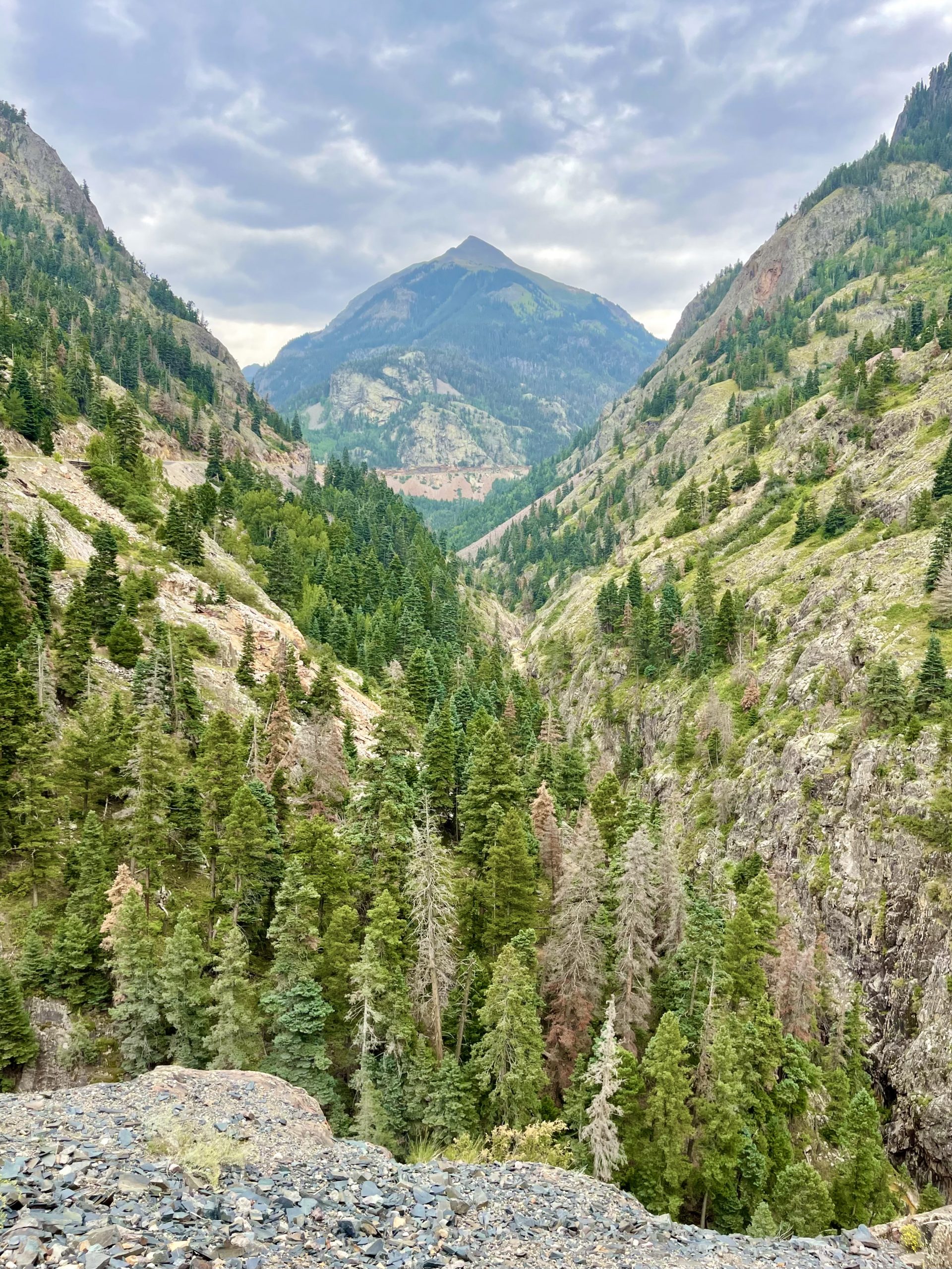
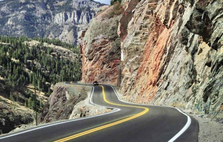
Towering crests jutted above the precarious road, made apparently before guardrails were a thing. The lanes were very narrow, making meetings with large RVs an adventure. And because we were heading south, we drove on the more frightening outside edge of the highway.


The Million Dollar Highway, as it’s called, was built in the late 1880’s to provide access to nearby mining districts. No one is sure why it’s called the Million Dollar Highway. Some say it’s because it cost a million dollars a mile to build, others say that the dirt moved to make the highway had a million dollars’ worth of gold in it. My favorite is that long ago a traveler became so dizzy on the steep and winding stretch of road that he said he’d never travel it again, even if he was paid a million dollars.


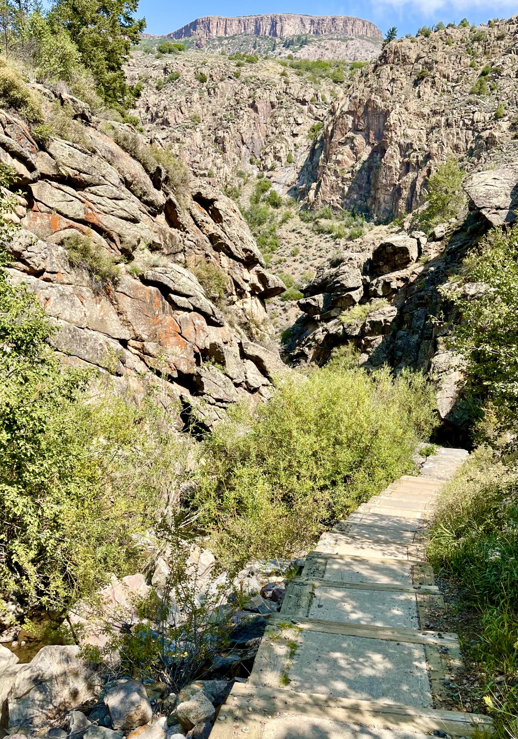
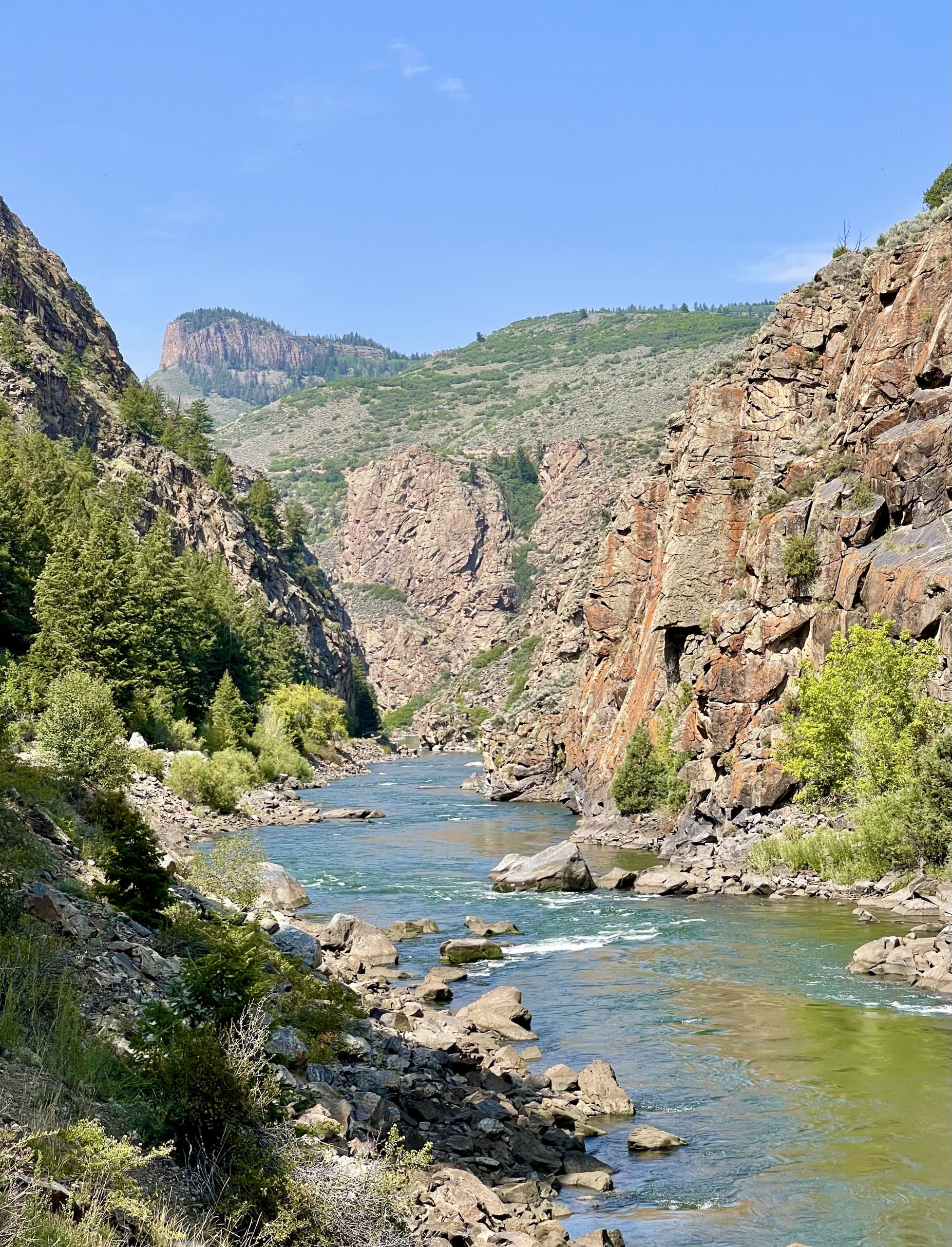
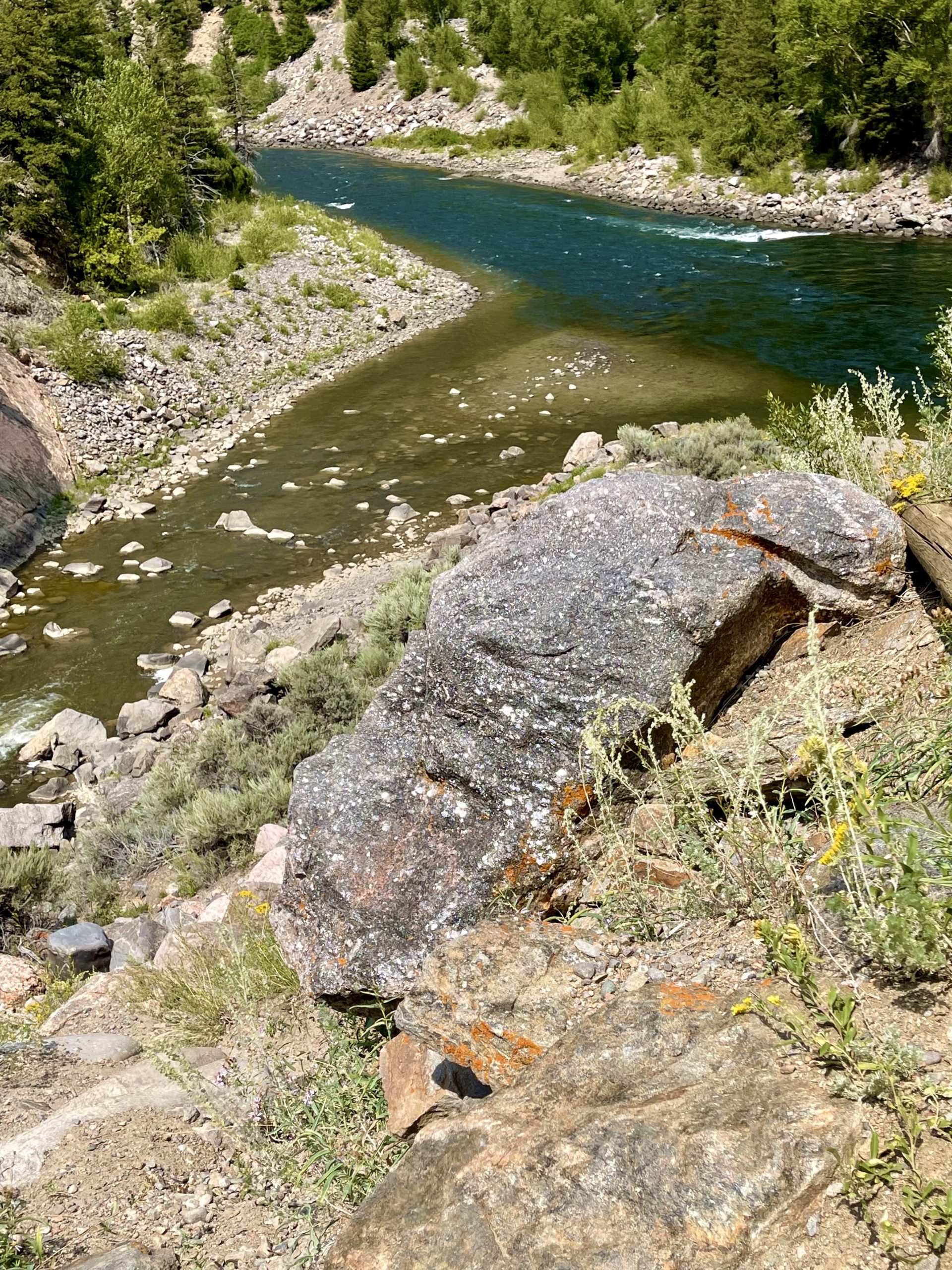
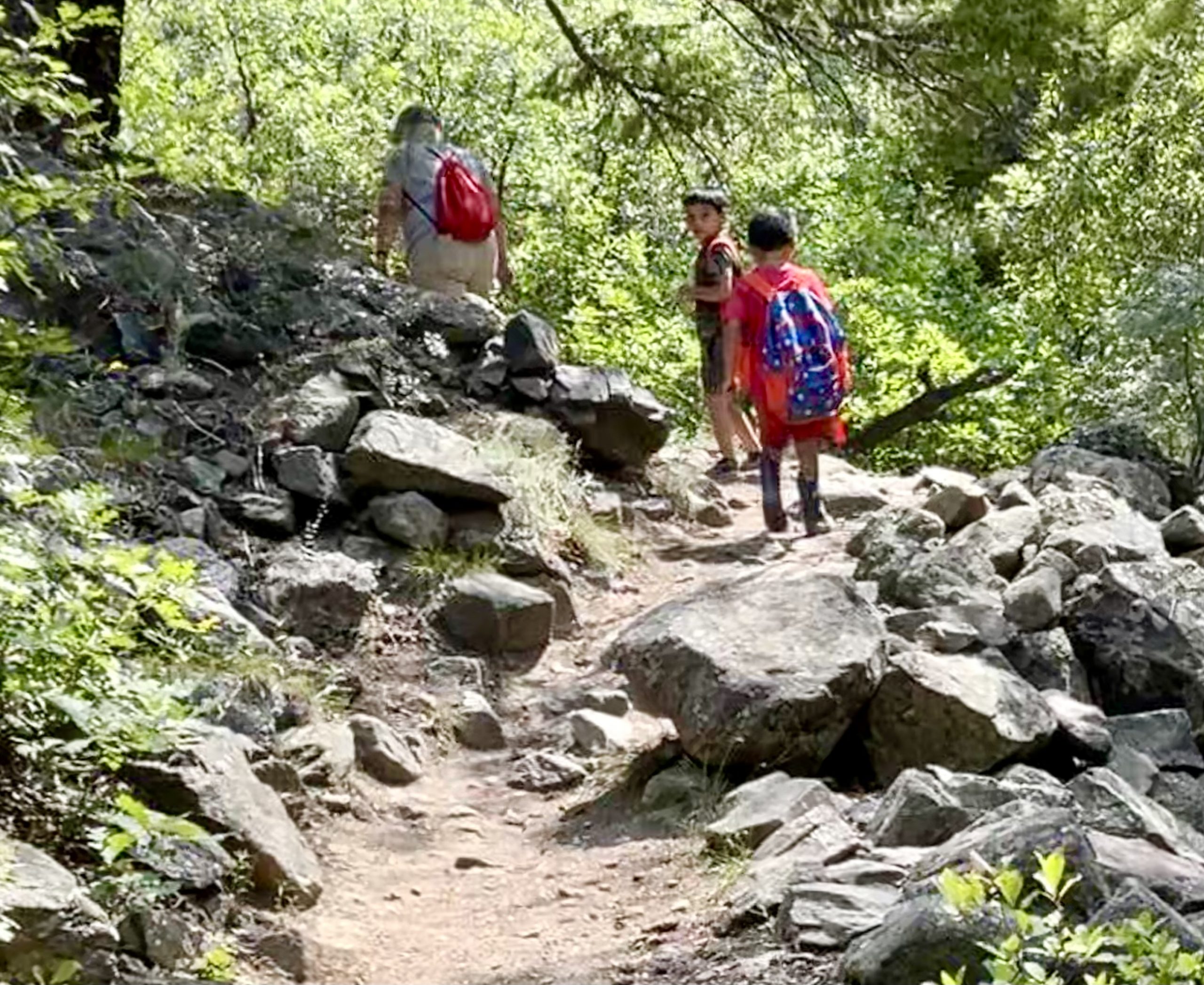
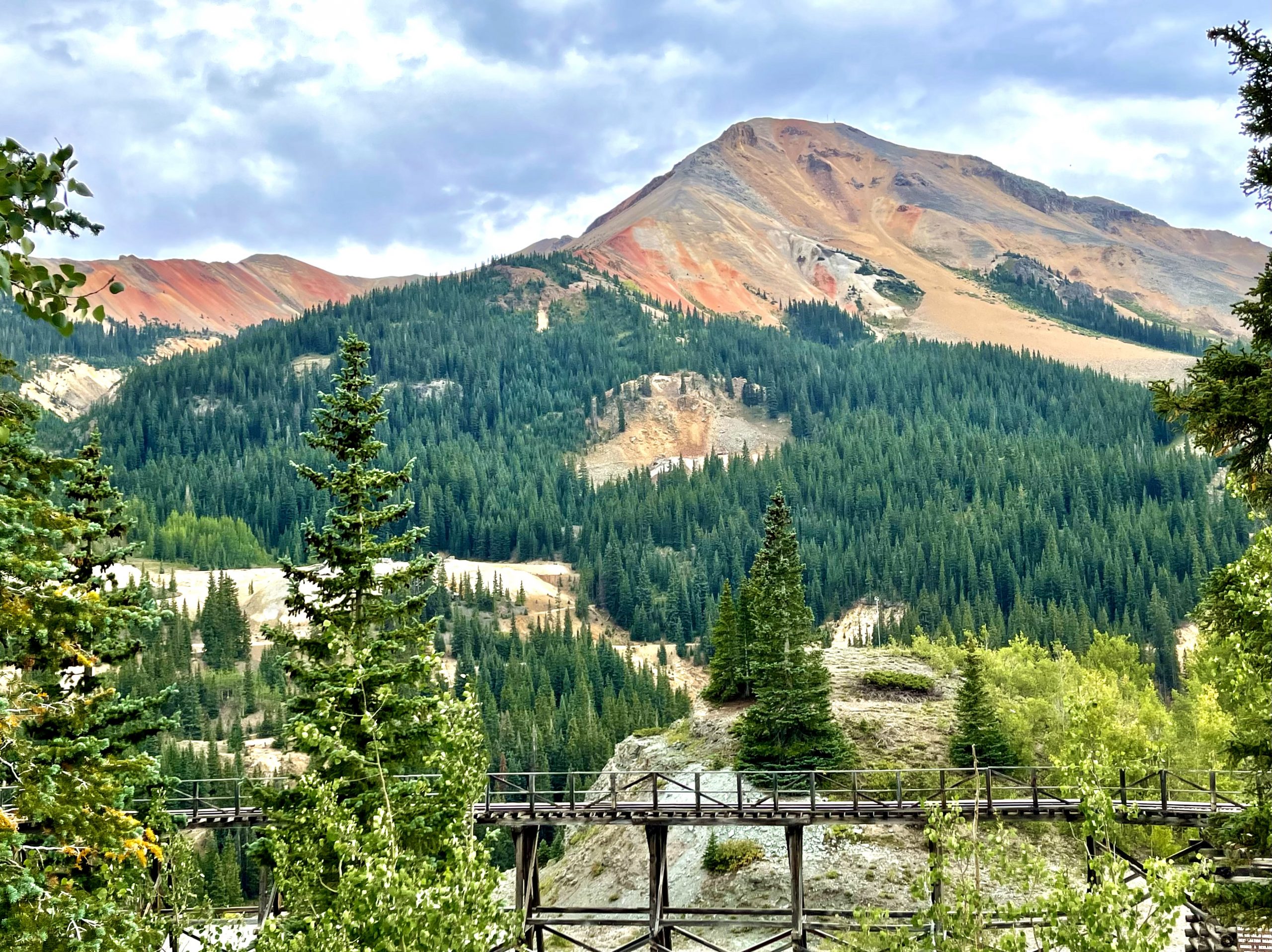
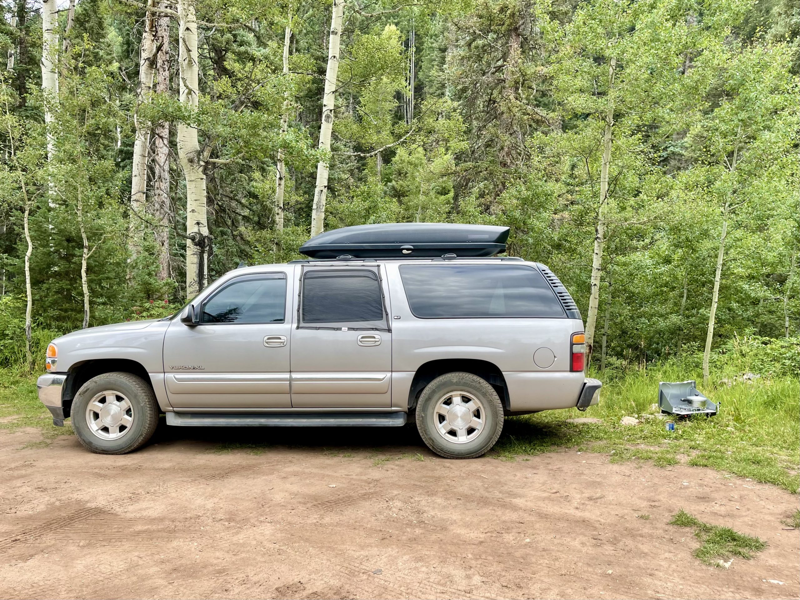
Finally, after two more passes at around 11,000 feet elevation, we descended and started to look for a place to camp in the national forest south of Silverton since it was getting close to 5:00 pm. Along each of our hikes earlier in the day, we saw only one other small group, giving us hope that it wouldn’t be hard to find a good camping spot on a Tuesday night. Sadly, that hope was misplaced. The campgrounds all had “full” signs and every dirt road we turned down likewise was full. One dirt road was so rough, after a mile we turned around on a precariously narrow section, not wanting to go another three or four miles (it would take an hour) only to keep finding every pull-off full. 

A short trail from our campsite led to a rushing creek

After several more false starts, we found another dirt road off the highway and within a mile spotted a small pull-off near rushing Cascade Creek, surrounded by pines and aspen groves. Not perfect, but by now we were hungry and it would be getting dark soon. We made a warming soup dinner, not bothering to set up our table since heavy clouds suggested rain was approaching.

Throughout the night we heard water in the form of both the rushing creek and the rain
Our perfectly adequate campsite

We pulled out our portable weather radio and, not having had internet for awhile, were surprised that the forecast was calling for a flash flood watch with steady rain and thunderstorms possible. The creek beside us was not in danger of flooding, but I was concerned enough about the dirt road we’d come in on becoming gumbo that we took a walk back down it to see what it might be like when it rained. After that, I wasn’t too worried because it wasn’t badly rutted or steep and I knew that even if it was muddy our four-wheel-drive would get us out, though a late-arriving 2wd Sprinter van that camped not far from us could have a lot more trouble. We fell asleep to the soothing sound of drizzle and the rushing creek and wondered if we’d be awakened by heavier rain in the night as forecast.


At midnight, right on time according to the weather radio forecast, a light rain started and I closed the windows up to the rain guards so we’d still have a couple inches open to provide us some ventilation. The drops hitting the roof above us lulled us back to sleep. Sometime before daybreak, I opened the windows again after the rain paused, and a luscious cool breeze wafted into the truck.


By 6:30 am, we were headed back down the dirt road. Fortunately, not enough rain fell to make it difficult. Back on the highway, we passed through a few small towns until we reached Durango where we stopped for breakfast and had the biggest cinnamon rolls we’d ever seen. Durango looked like it might be a nice town but it was hard to see much of it in the rain. 

One block into our drive out of town we were surprised when we stopped at a railroad crossing for an old a steam train. We later learned that it was a scenic historic narrow gauge train that brought tourists on a stunning trip through the San Juan National Forest between Durango and Silverton. It’s been in continuous operation since 1882 and it’s both a National Historic Landmark and a Historic Civil Engineering Landmark. Between the steam train, the railroad bed-now-hiking trail and the Train to Nowhere in Curecanti National Recreation Area, it was obvious that narrow gauge railroads were a significant part of the history of the towns and mining operations in southwestern Colorado.

It rained all day in Farmington

It was still spitting rain so we drove another hour or so and crossed the border into misnamed Farmington, New Mexico, which was a classic small town surrounded by mesas and canyons, and not at all cornfield-ish. The forecast was for rain and thunderstorms throughout the day and overnight with flash flood warnings, so hiking, other outdoor activities and camping would have to wait. 

New Mexico was very Covid-strict so indoor activities (like movies) also were not an option. Instead, we checked into a Marriott using Susan’s points. While listening to the rain, we spent much of the day catching up on emails and news, doing laundry and working on our blog. We also FaceTimed with our granddaughter for her 5th birthday. 

Checking out the massive menu at a very colorful Mexican restaurant in Farmington

At one point it rained hard for several hours and we were glad we weren’t still camping along the dirt road, which would now be slippery goo. Finally, right around dinnertime the rain ended and we went out to an excellent inexpensive Mexican restaurant. The forecast called for sun the next day and we already were itching to get back outside.

Leave a Reply

Share this post