Post #96: All you need is gloves

March 31, 2021

It was as cold as predicted overnight and the walk outside to the hotel lobby for breakfast felt like mid-winter as we could see our breath with the temperature in the mid-teens. After an unsatisfying but free cold cereal and packaged Danish breakfast, we headed out. We still had a little over 1,000 miles remaining on our drive home and we hoped to make a good dent in them today. I hated to rush home from this beautiful part of the country, but I knew I couldn’t enjoy it with the pain I was feeling. And I knew I’d need some breaks from driving so we decided to stop anywhere of interest.

The road followed the Gunnison River through a canyon
And then Blue Mesa Reservoir appeared at the base of the snow-cowered peaks

Within a few minutes, we found ourselves driving alongside the pretty Gunnison River, its banks covered in a layer of light snow. And ten minutes after that we reached the Blue Mesa Reservoir at Curecanti National Recreation Area. It was breathtaking. 

The 20-mile-long narrow lake was completely frozen over. While we gazed at the lake and its giant mesa backdrop, snow-dusted mountains surrounding it vied for our attention. The road followed the lake, at one point crossing it, and we stopped a number of times to take pictures.

The backdrop for part of the massive lake was an equally massive mesa
The Colorado lake looked like a Norwegian fjord
An empty marina was ice-bound in the frozen lake

But it was too cold to linger and our hands were getting numb just trying to capture the scene with our cameras. We hadn’t really expected to be in Colorado and didn’t have enough winter weather clothes to be comfortable. We had hiking shoes but not boots and our thin beanies and hiking gloves weren’t cutting it with temperatures still well below freezing along with a brisk wind. As we drove away from the lake, we agreed this was a place we wanted to visit again–either in summer or at least with proper winter hats, boots and insulated gloves.

One stop we knew wanted to make was Black Canyon of the Gunnison National Park, which was only about 4 miles off the road we were traveling. About an hour past Blue Mesa, we saw a small sign that said it led to the park, though it hardly looked like the narrow road would go to such a place. There were almost no cars on the two-lane road and we had to check the map to make sure it really was the way to get to the park.

From what we’d read online we knew that only one section of the park was open, as the rest was still snowed under. We entered the park at a tiny kiosk that was not yet collecting entrance fees.

Much of the trail was covered in ice and snow
But it was passable so, of course, we continued
And we had the trail almost completely to ourselves
The views were made even more spectacular by the coating of new snow

I felt up for a short hike we found along a crazy steep canyon edge that made me dizzy looking into it. It’s called the Black Canyon because the sides of the canyon are so steep that it’s dark at the bottom, with many areas getting only minutes of sunlight a day. 

Much of the Gunnison River at the bottom of the dark chasm is whitewater due to the steepness of the canyon floor and it drops an average of 34 feet per mile—five times that of the Colorado River in the Grand Canyon—and up to 240 feet per mile at one point.

The Gunnison River cut deeply through the canyon
As we descended the hill, the Rockies suddenly appeared in the distance
Bucolic, snow-dotted pastures in the foreground, Rockies in the background. Gorgeous.

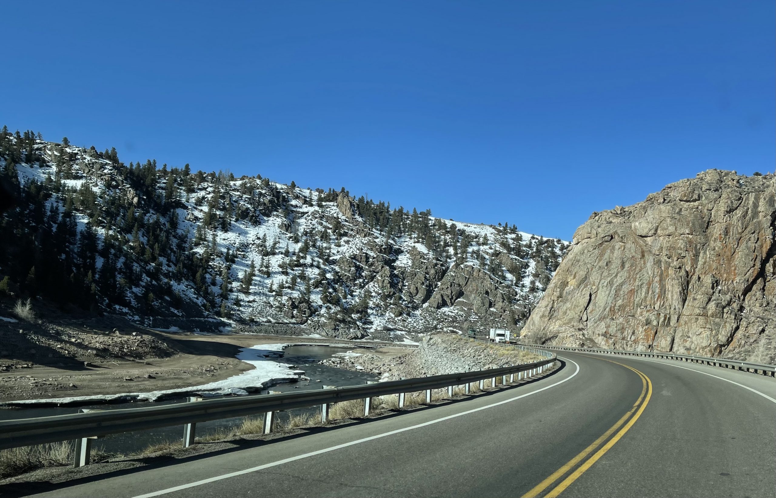
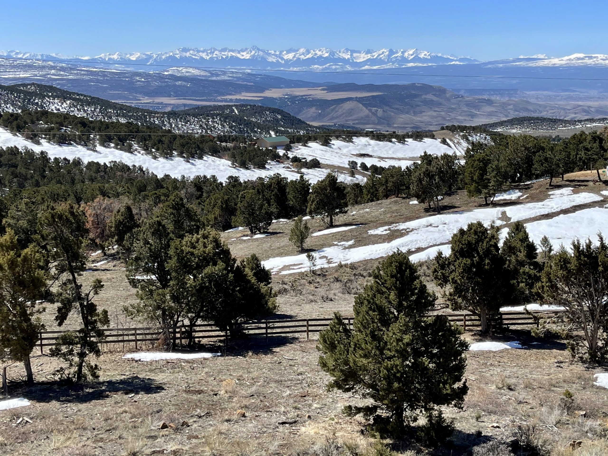
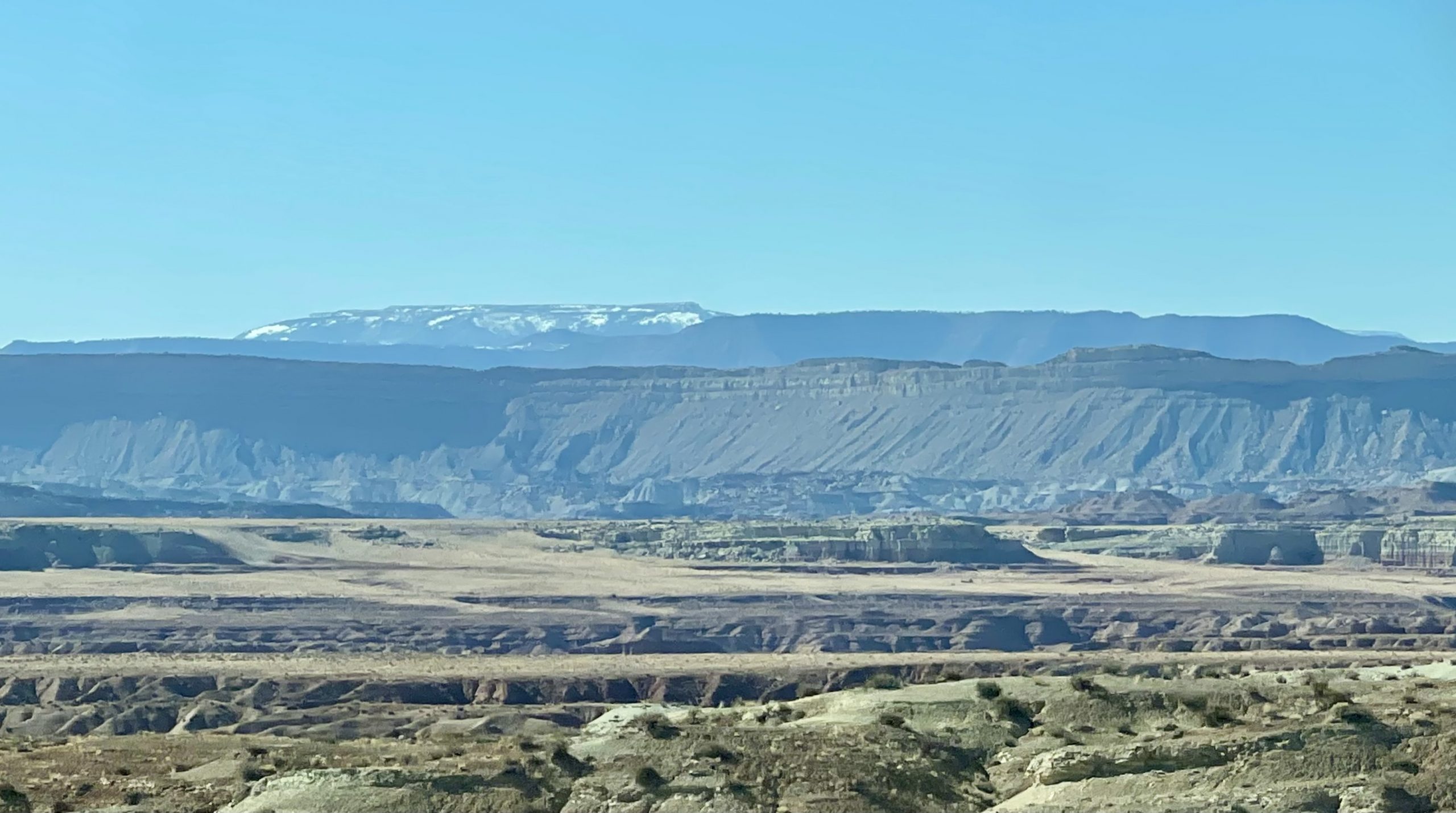
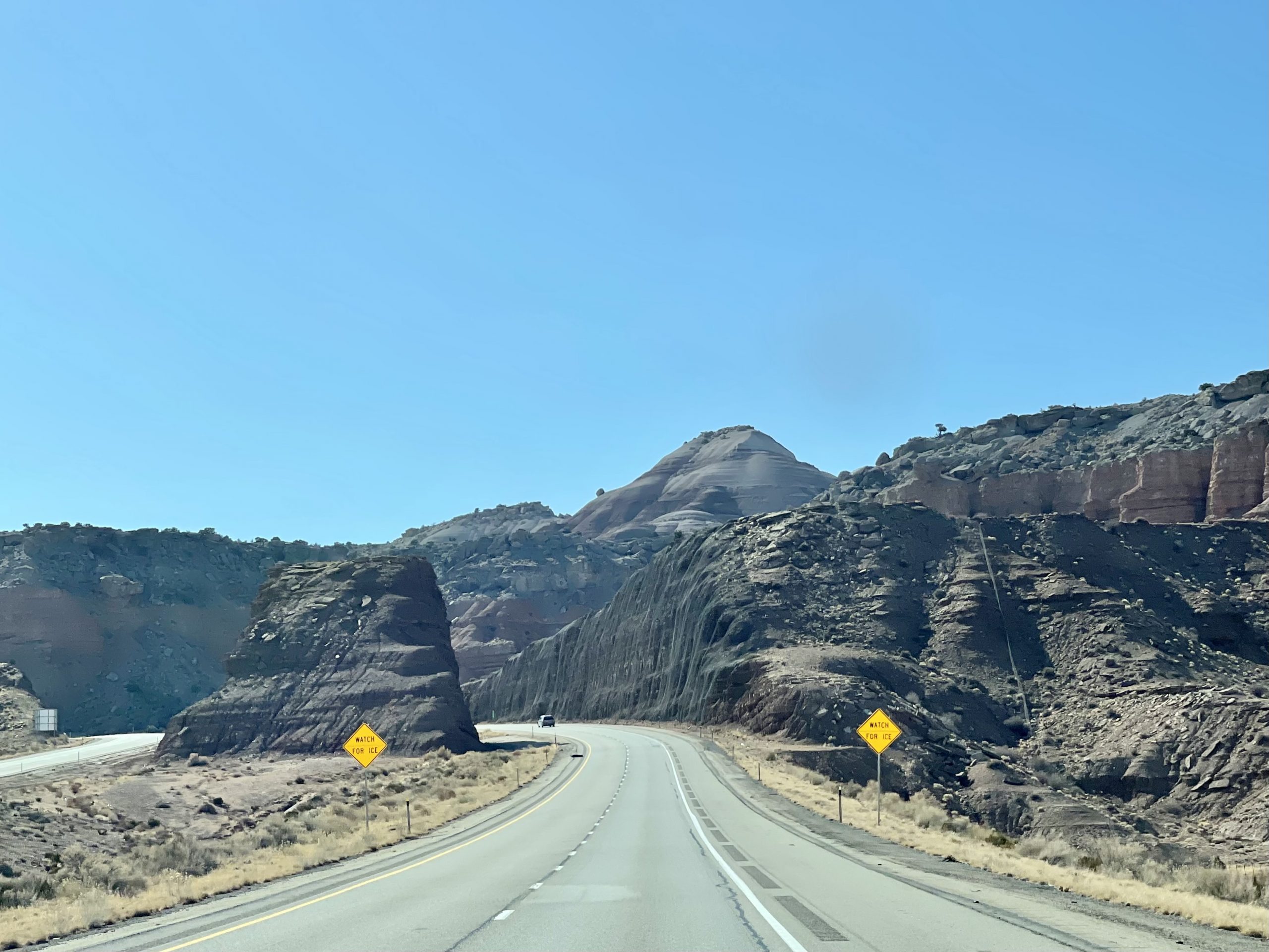
After being awed by the park and vowing to return there as well, we headed back down the quiet, winding road and a vast stretch of snow-peaked Rockies suddenly appeared before us. Back on the main road, we drove through beautiful mountain scenery that gradually brought us to somewhat lower elevation as we headed toward Grand Junction, Colorado, which was about 75 miles to the northwest and where we’d pick up the interstate and eventually cross into Utah.

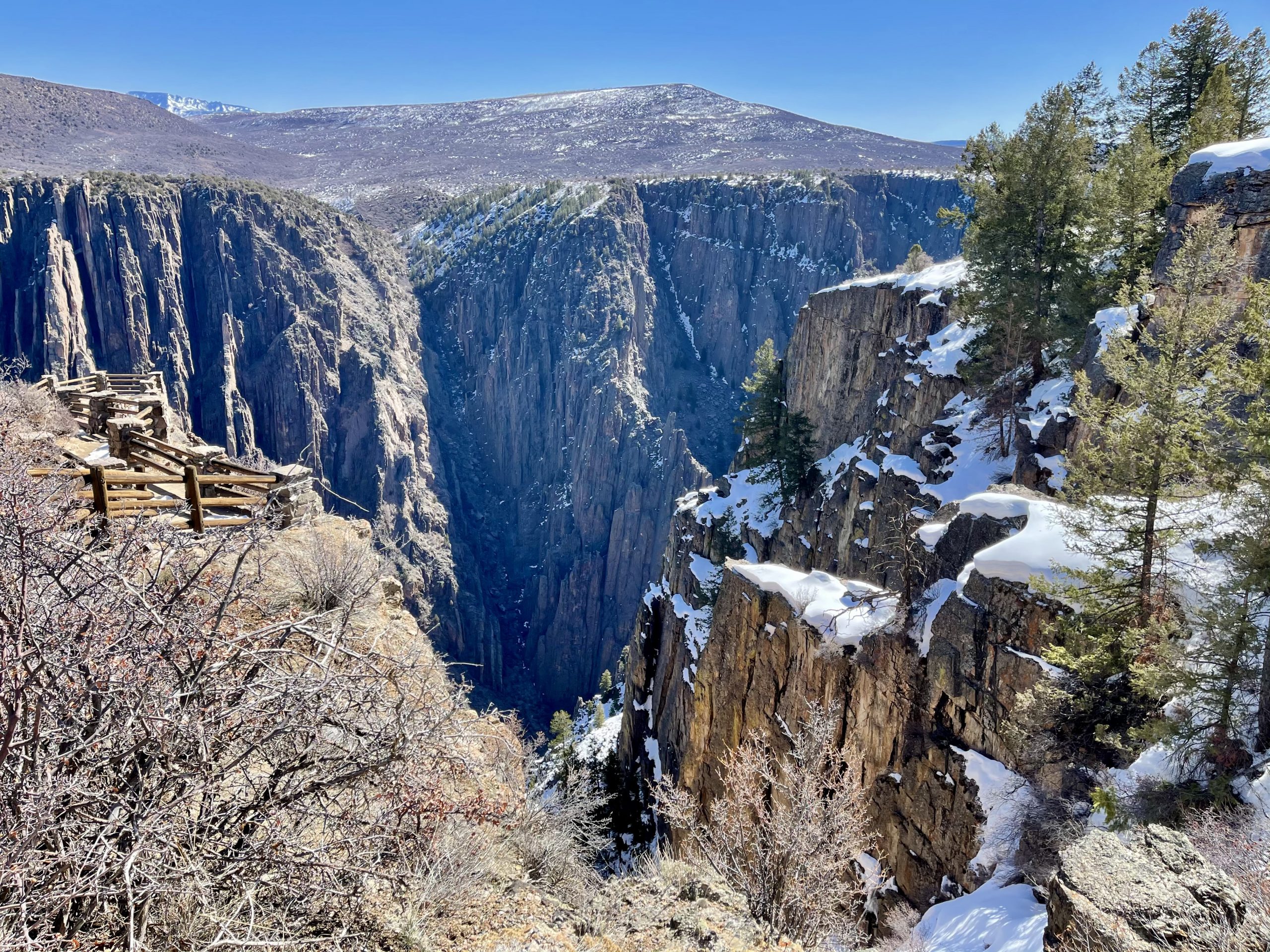
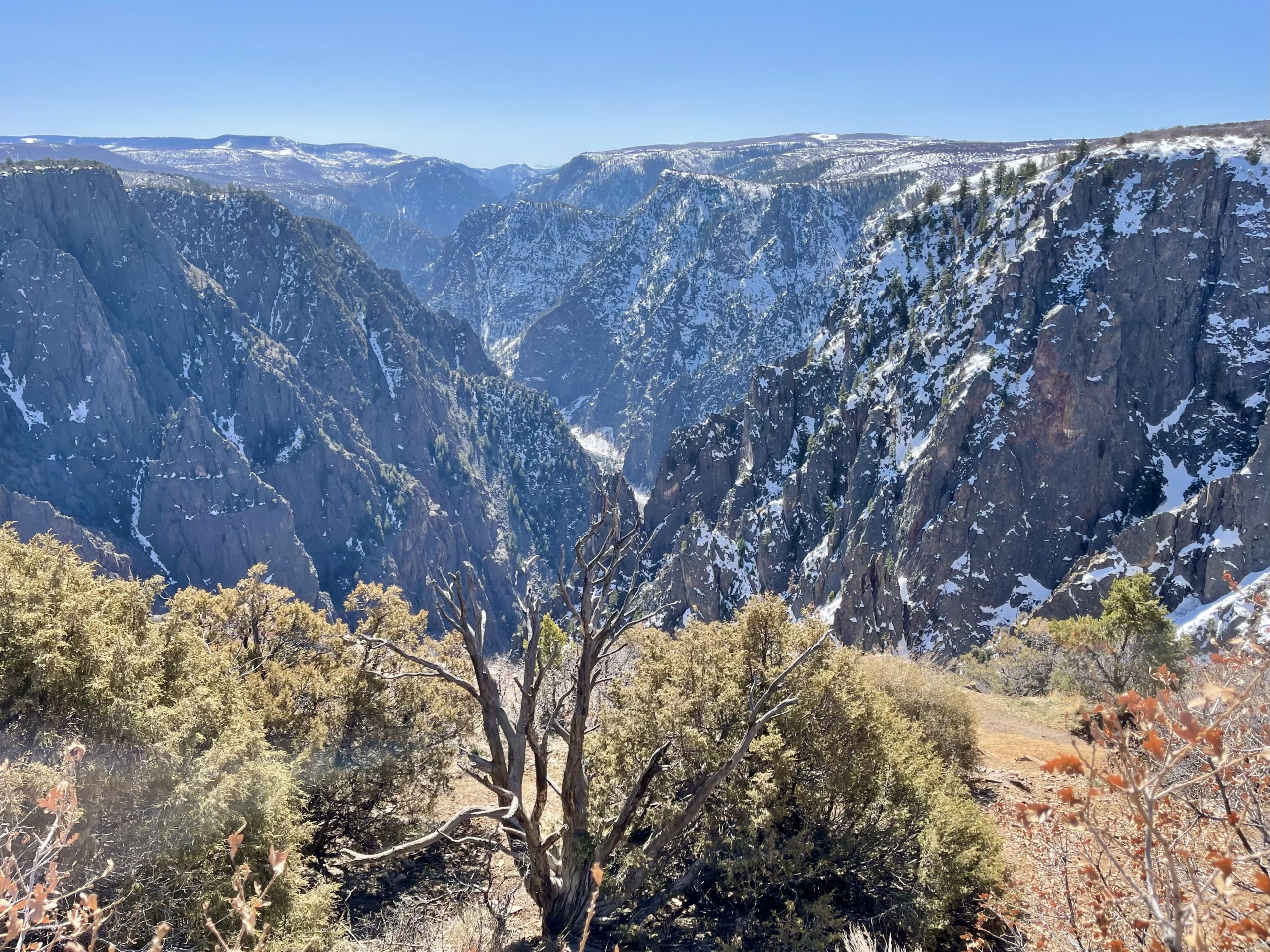
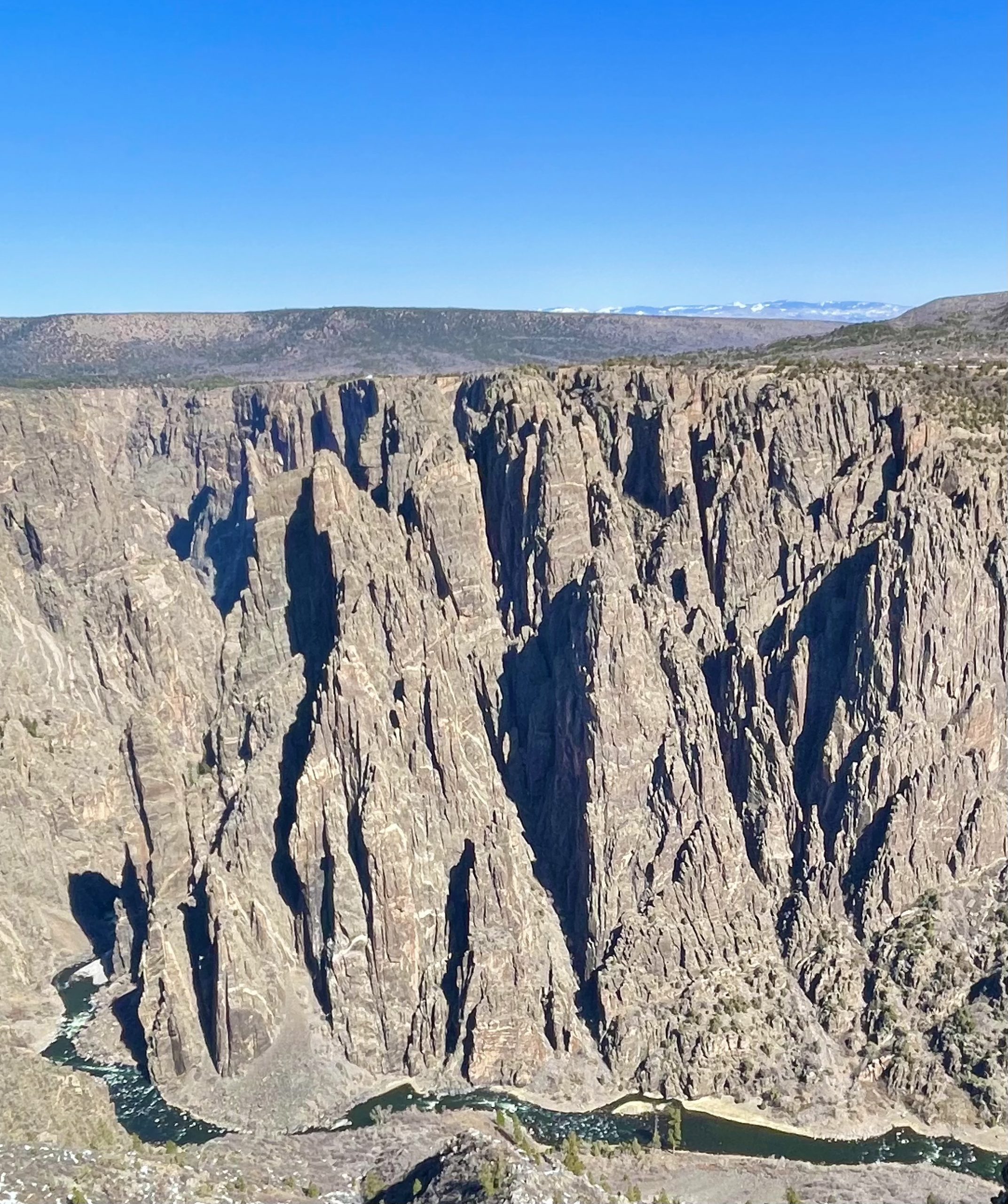
One thing about changing directions mid-travel is that everything becomes the unexpected. Quite suddenly it seemed our trip to Arizona and New Mexico deposited us into the Colorado Rockies, to a national park we’d never been to, through magnificent canyons and valleys and past snow-covered mountain ranges. As we’ve said before, we try to have intentions rather than plans and that makes pivoting easier. Our shift north and homeward denied us the opportunity to explore the rest of New Mexico but it had instead opened up the world of Southern Colorado, begging us to return some day when I was healed and the temperatures had warmed. Knowing us, it will be sooner rather than later.

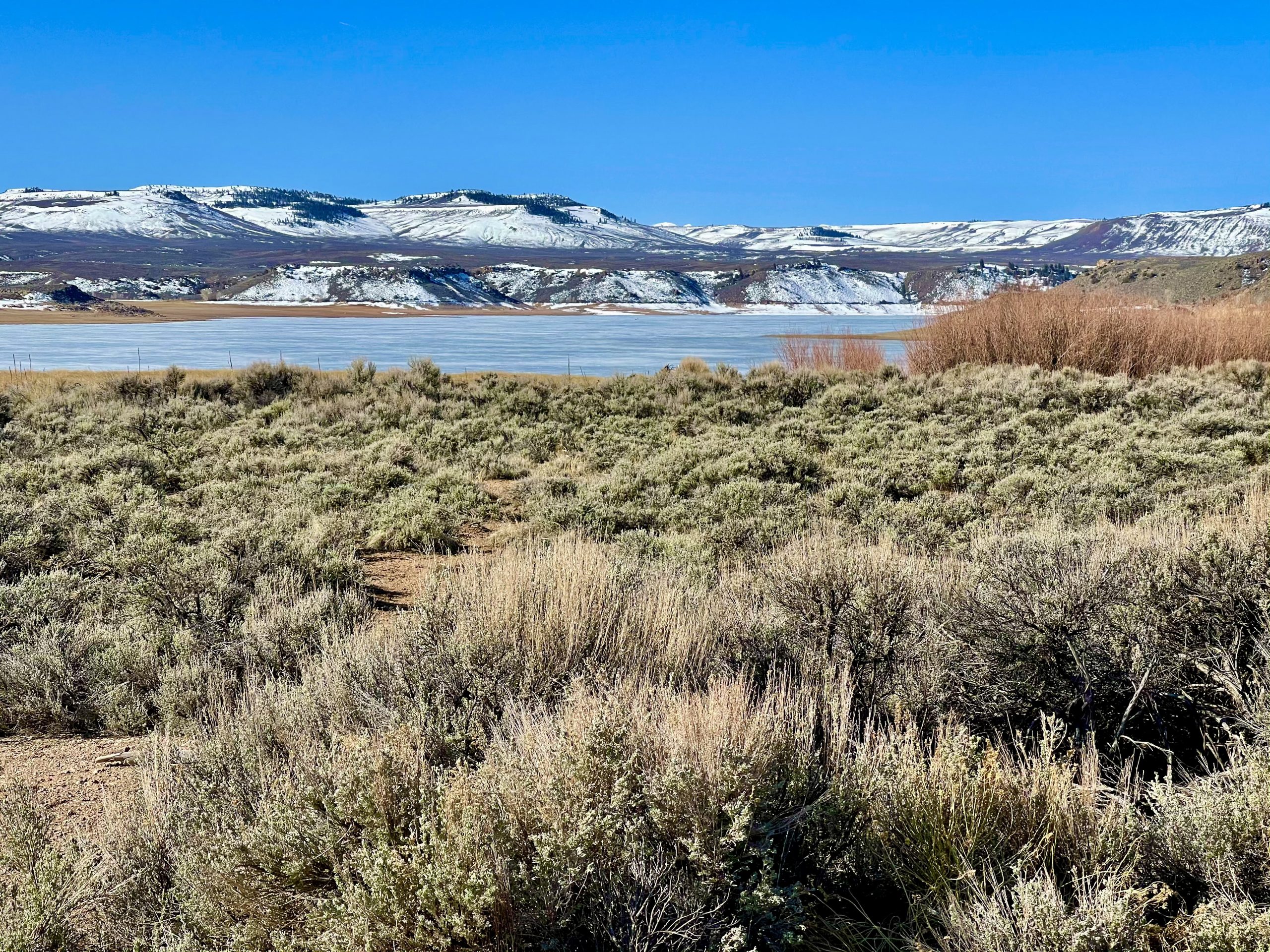
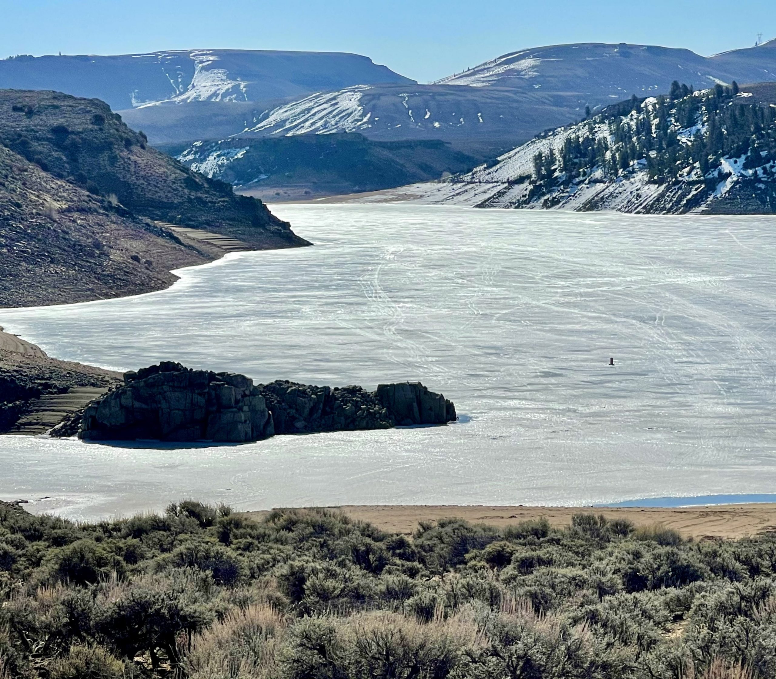
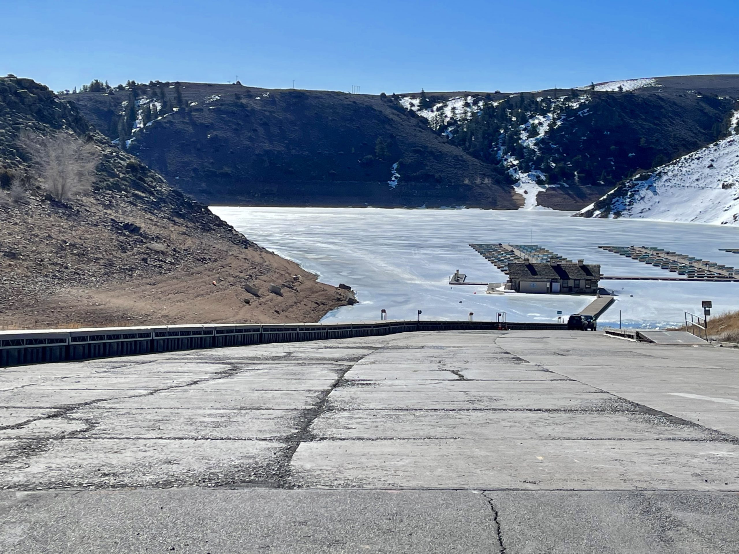
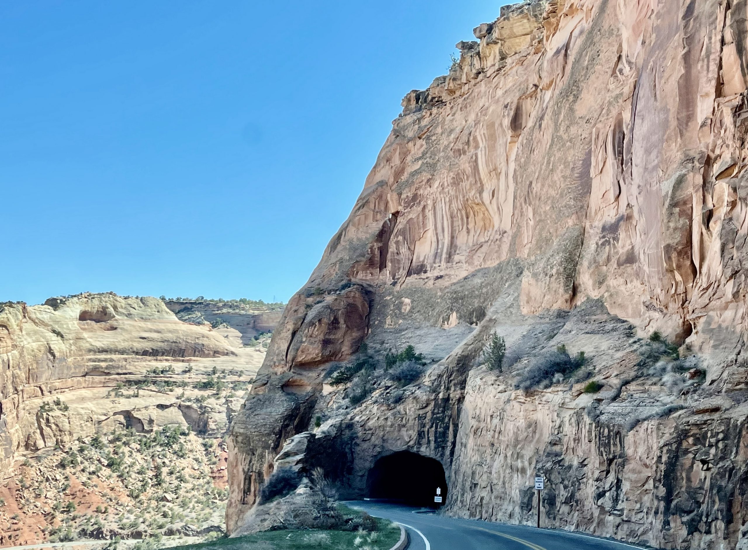
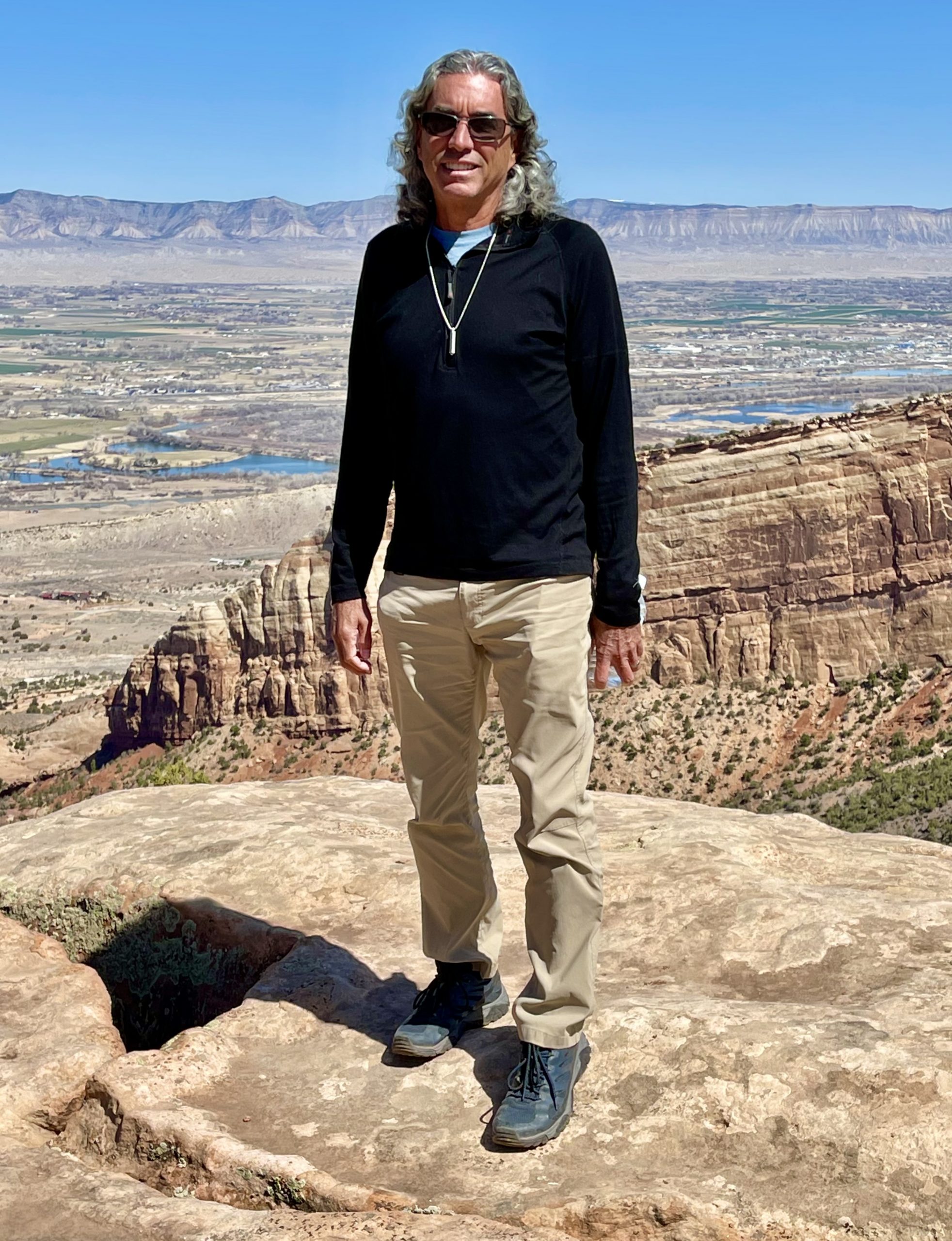
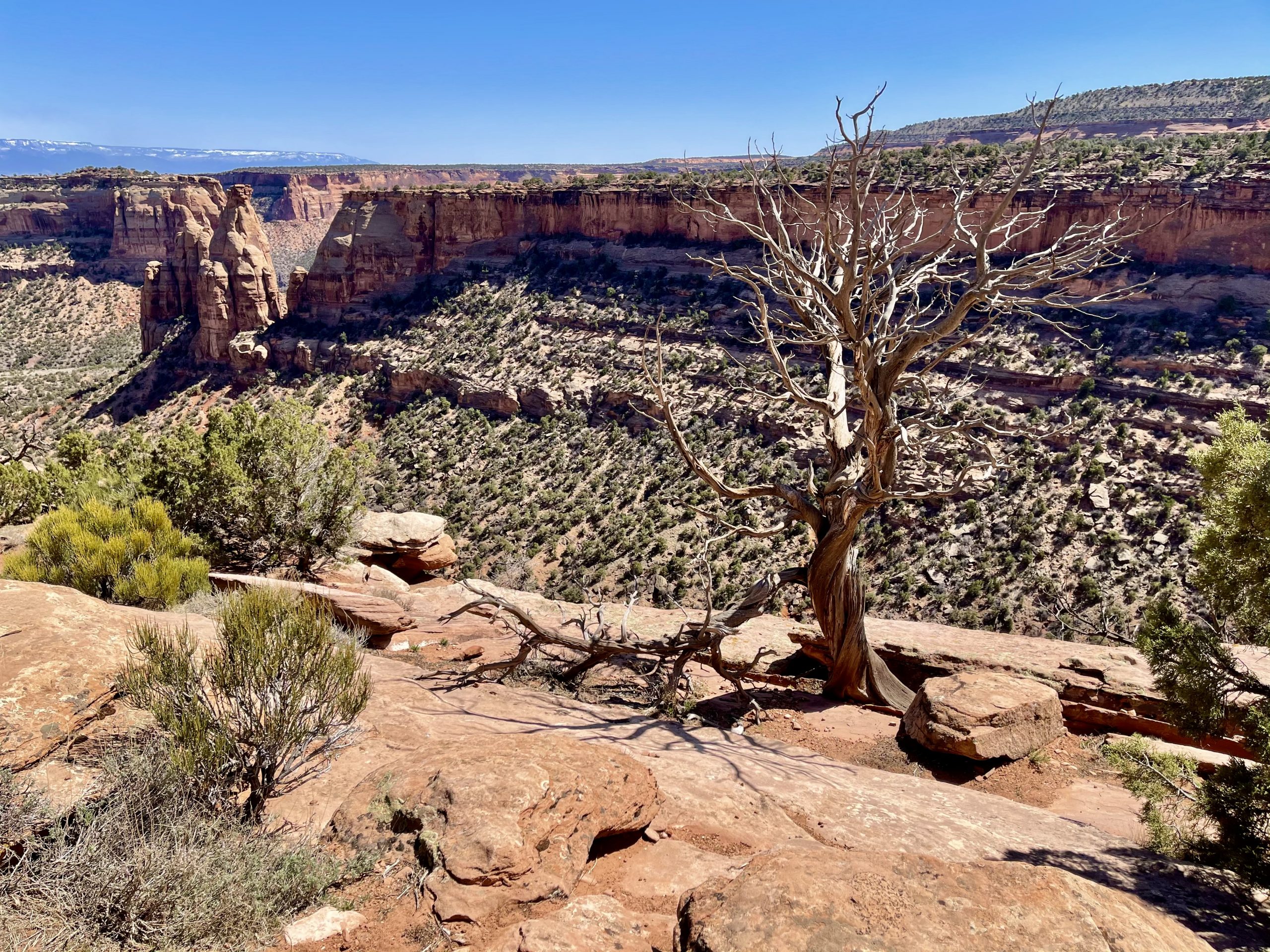
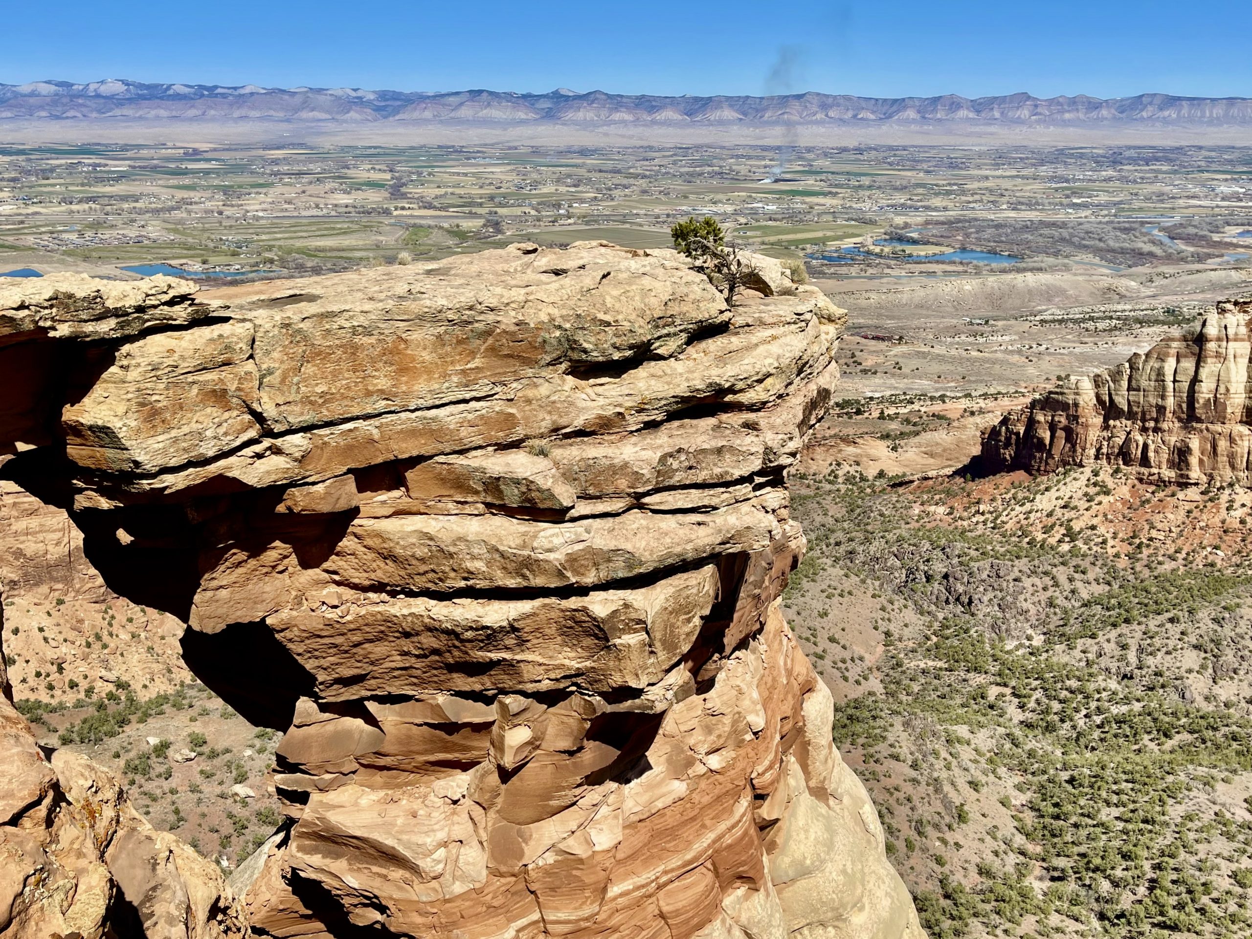
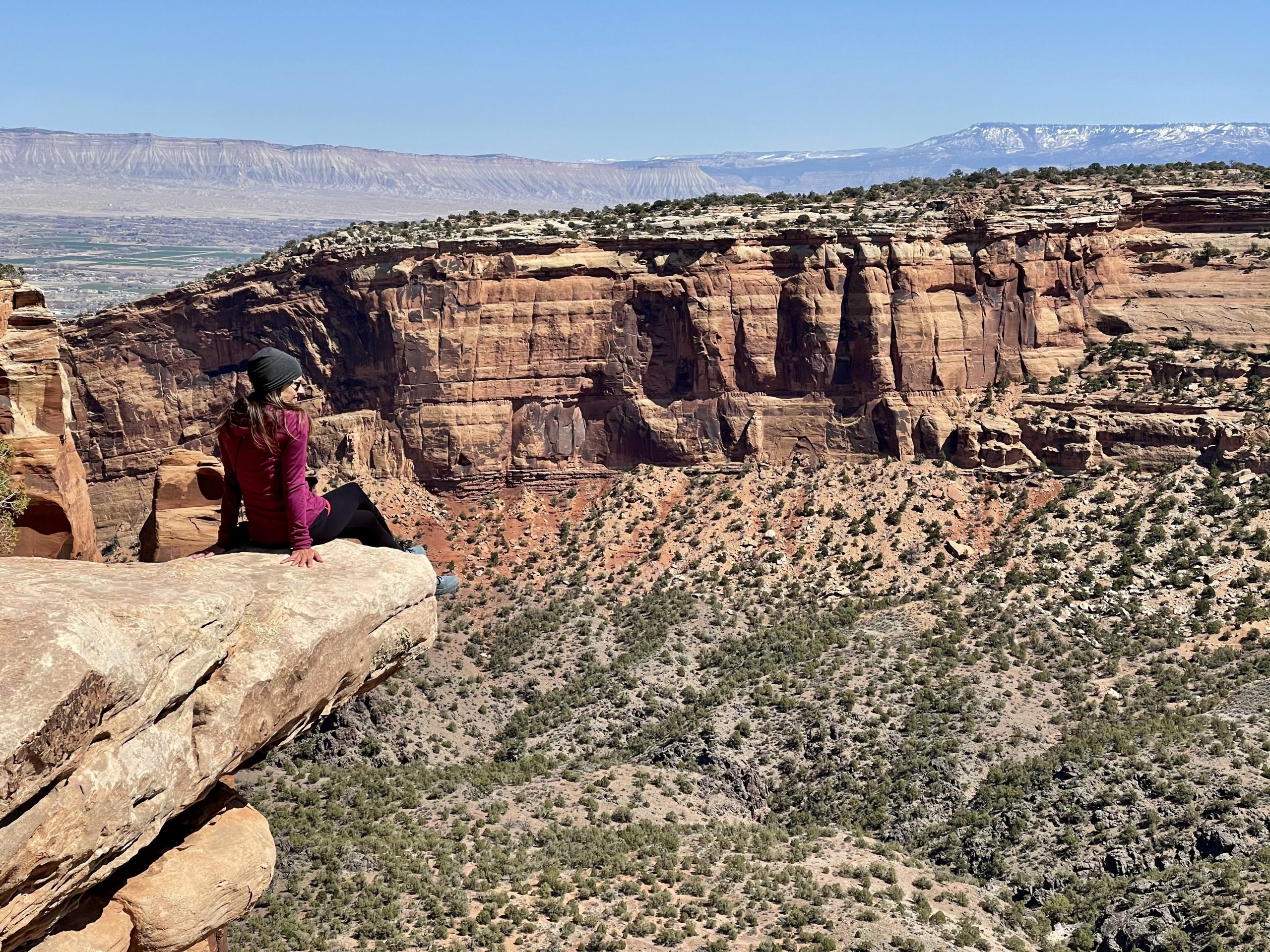
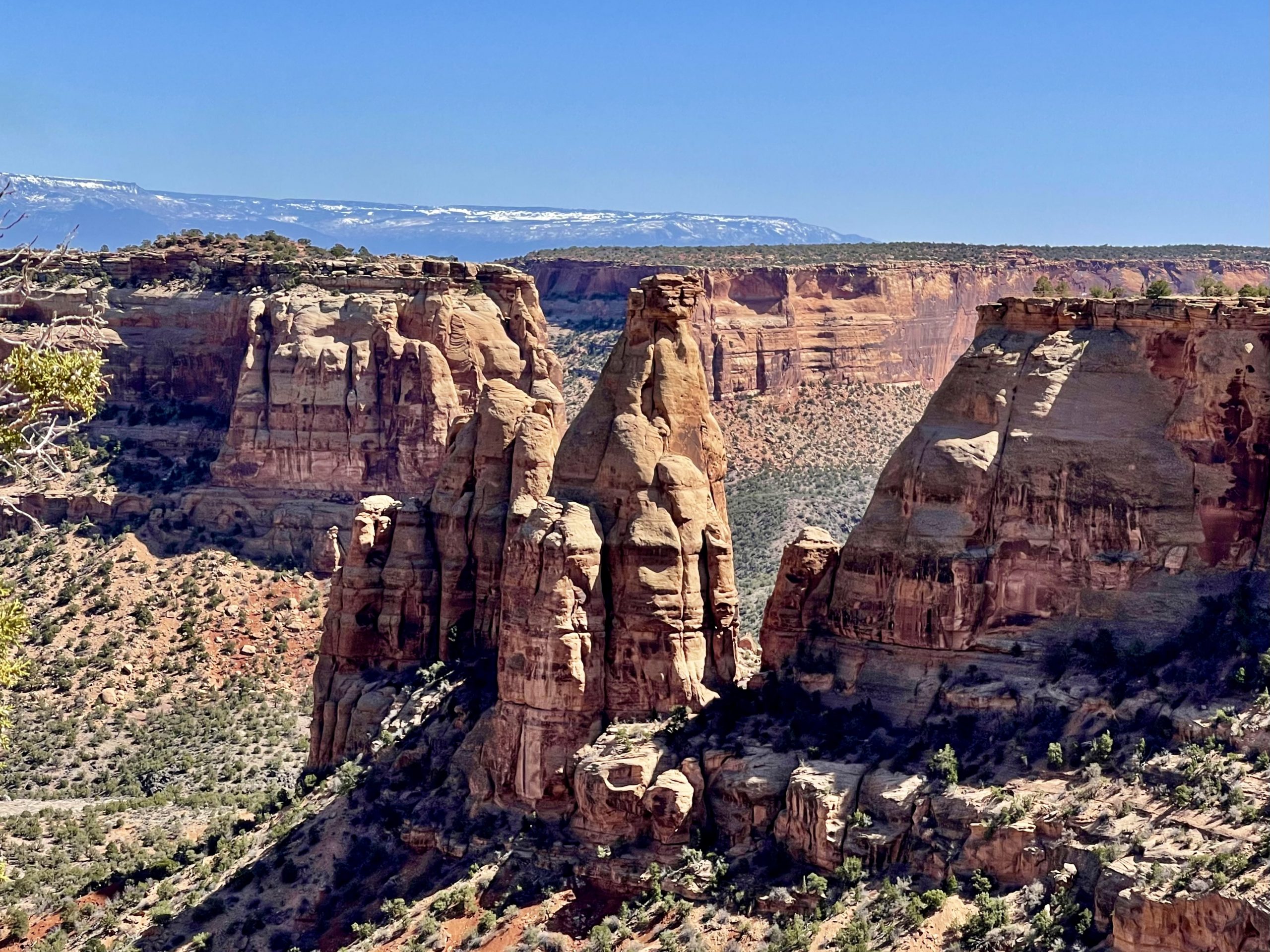
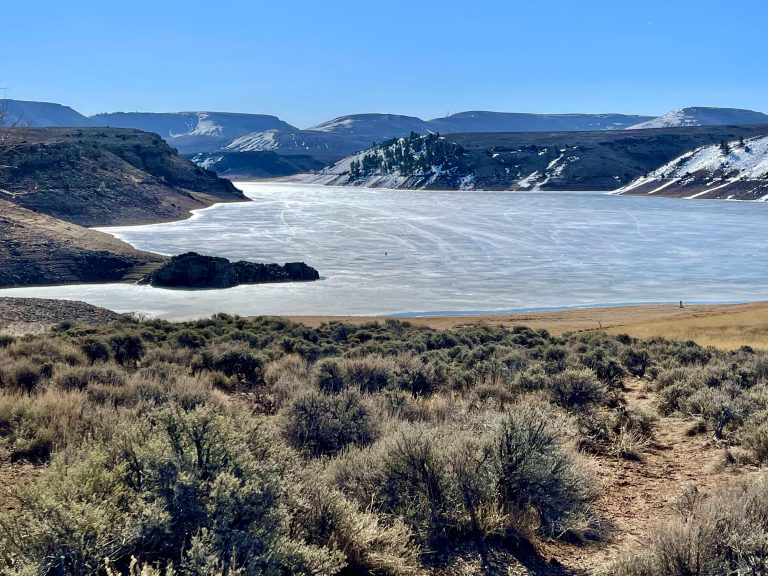
As we approached Grand Junction, Susan looked at the map and noticed that just past the city we’d be driving alongside the Colorado National Monument. We quickly decided another stop was in order.

Rimrock drive brought us through this narrow tunnel

We climbed steeply up along Rimrock Drive where the road went along the rim and through a tunnel, past sandstone towers and hoodoos.

We stopped along the road to check out "Balanced Rock"
Above Grand Junction
The trail brought us right along the edge of the steep canyon

We found a spectacular trail that skirted precipitously along the edge of the canyon with views of the city below, then red rock expanses and deep canyons. 

Susan is fearless when it comes to steep overhangs and sheer cliffs

We leisurely explored the trail, enjoying the sunshine and warming air along with the views.

Spectacular hoodoos

Though it was still Colorado, the landscape had changed from the forested snow-covered Rockies to the orange-hued landscapes of Utah we love so much. The Monument was easily as stunning as, and far less crowded than, the more famous Utah national parks.

It was almost 3:00 by the time we were on the interstate, and we realized we’d driven only about 130 miles since leaving our hotel in the morning. It was time to put some serious miles behind us if we were to make it home soon where I could heal. We had a choice of routes to home but decided that the fastest one, which turned north through Salt Lake City, was out. We’d been on that section of highway before and preferred to skip the traffic and what so far have been the scary-fastest drivers we’ve ever seen. We chose instead to stay on Interstate 70, which would eventually take us to Highway 50, which is called the Loneliest Road in the country—for good reason. We’ve taken the road before and have traveled for a hundred miles without seeing another soul.

View out the window as we crossed Utah

The trip across central Utah didn’t disappoint. We were no longer in the heart of the mountains but remained at high elevation with snow-covered peaks now in the far distance. The mesas and canyons eventually turned from red to brown as we continued west. Crossing Utah from east to west was about 350 miles, but with 75-80 mph speed limits and no traffic we made it most of the way across the state by evening.

Among the last of the reddish mesas before the landscape turned brown
This section of Interstate 70 is one of the most beautiful interstates we've traveled

After exiting the interstate onto the Loneliest Road, we began looking for a place to camp for the night. There are long stretches of public BLM land on either side of the road and we knew we’d find a spot. Eventually, we pulled off of onto a steep dirt road into the sagebrush that looked promising. But as Susan got out of the truck to look around, I yelled at her to get back in as two very large white dogs–likely used by a nearby shepherd—charged, barking madly. She barely made it back in as the dogs trotted off, looking very self-satisfied. They would not be losing any sheep on their watch.

We knew we had to find a spot soon as the sun was setting in the vast empty desert. The highway entered a wide flat expanse with hills in the distance on both sides and finally we spotted a straight dirt road off to the right. It was one of the best and flattest dirt roads we’d ever driven on and dust flew off the tires as we easily sped across it at 60 mph for a few miles.

Charles explored the open campsite just off the desert road
The desert sunset was complemented by a nearly full moon and distant snow-covered mountains

At a crossroads, we simply pulled a few feet off the road and made camp at a beautiful serene spot, a long dust cloud lingering over the road behind us. We had a light dinner of the remaining halves of our Subway sandwiches from the night before while watching the sun’s final descent. 

Once the sun went down, the temperature quickly dropped and we bundled up with all our blankets. Tomorrow we’d head into Nevada and maybe even make it home to California.

One Response

Leave a Reply

Share this post