Post #167: Sittin’ on Top of the World

August 25, 2022


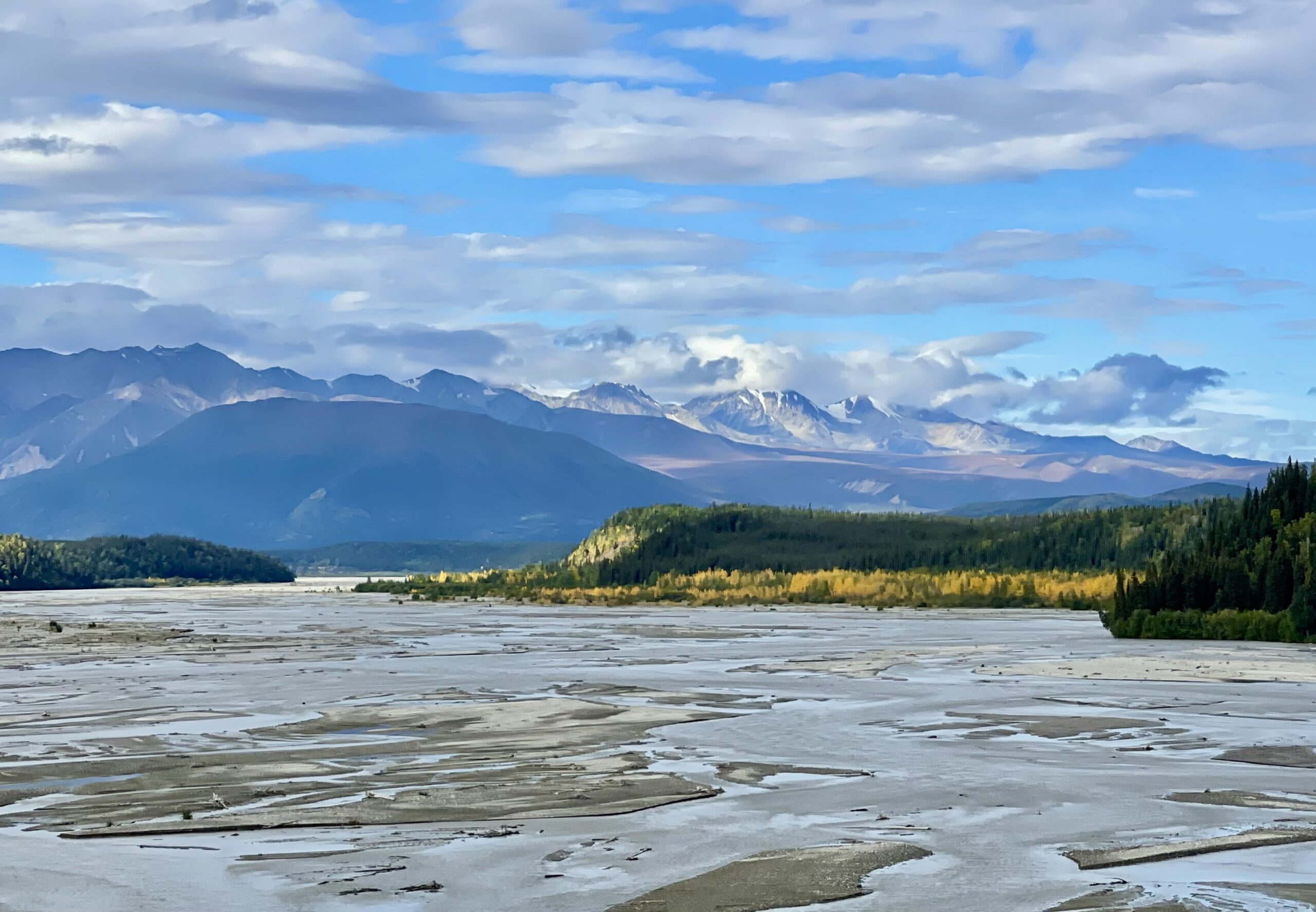
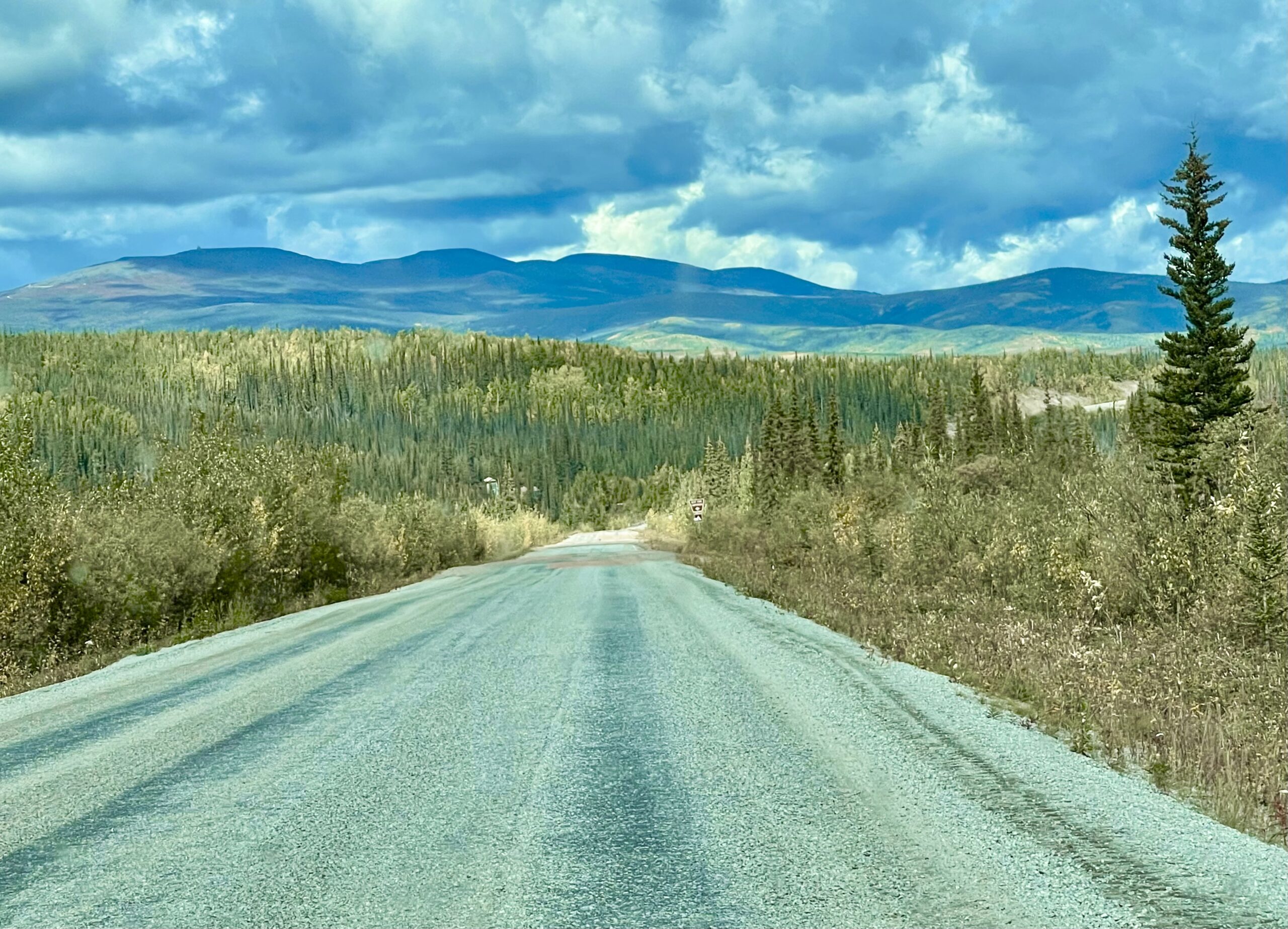
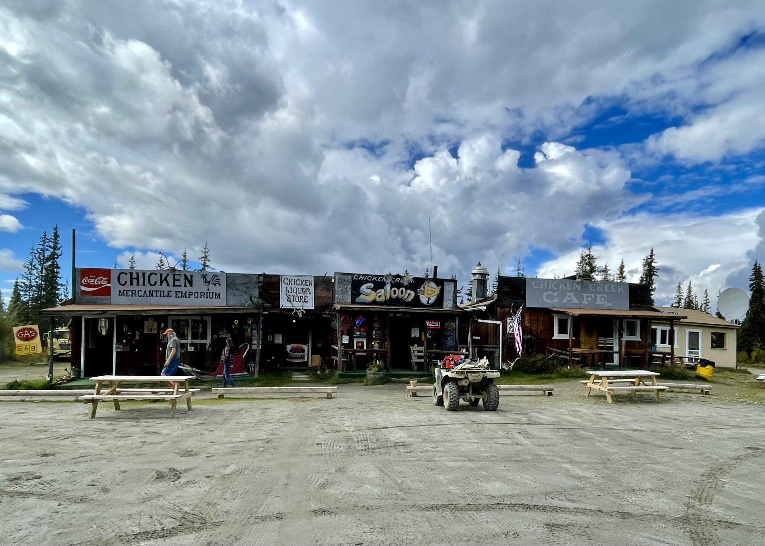
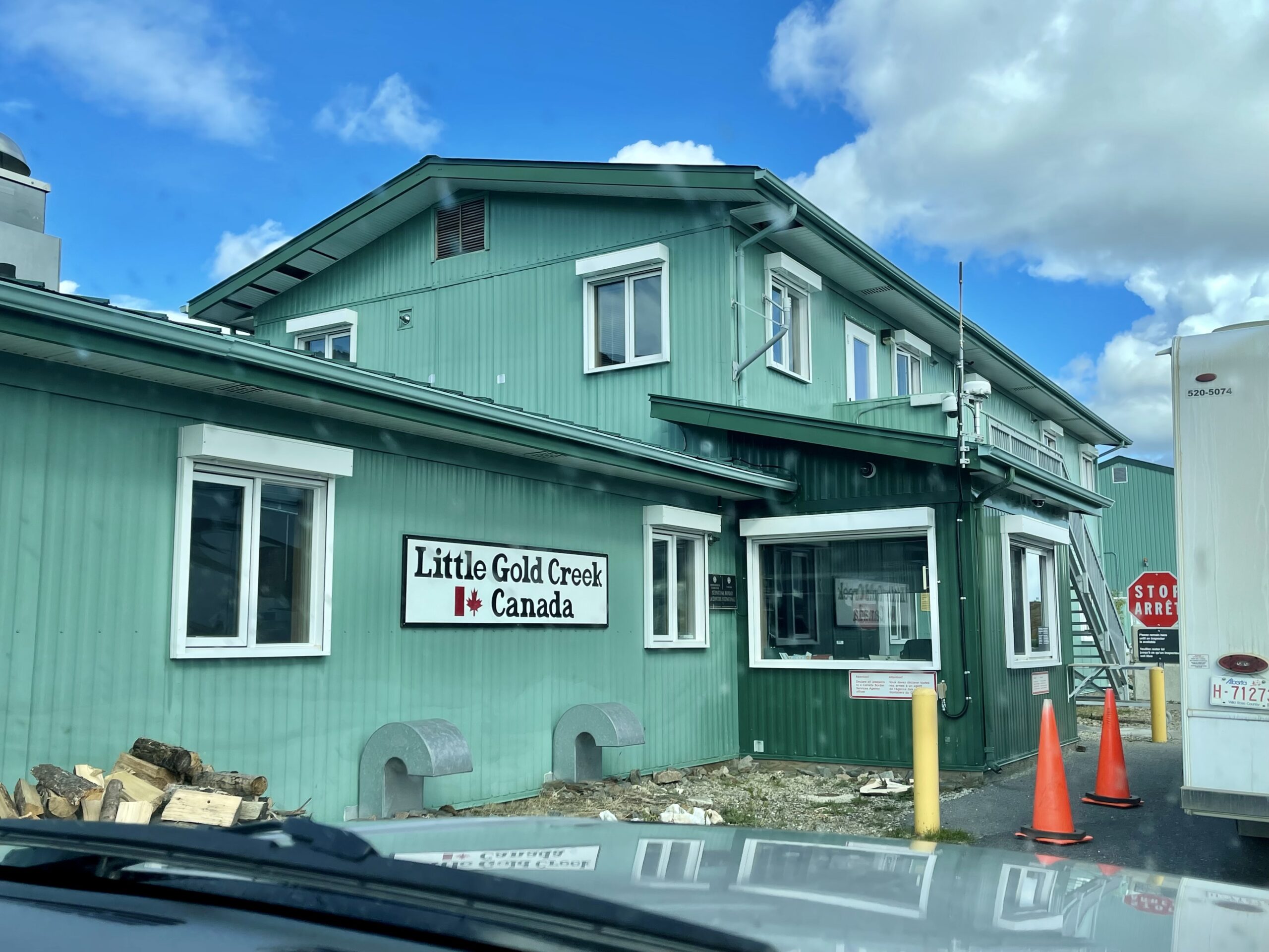
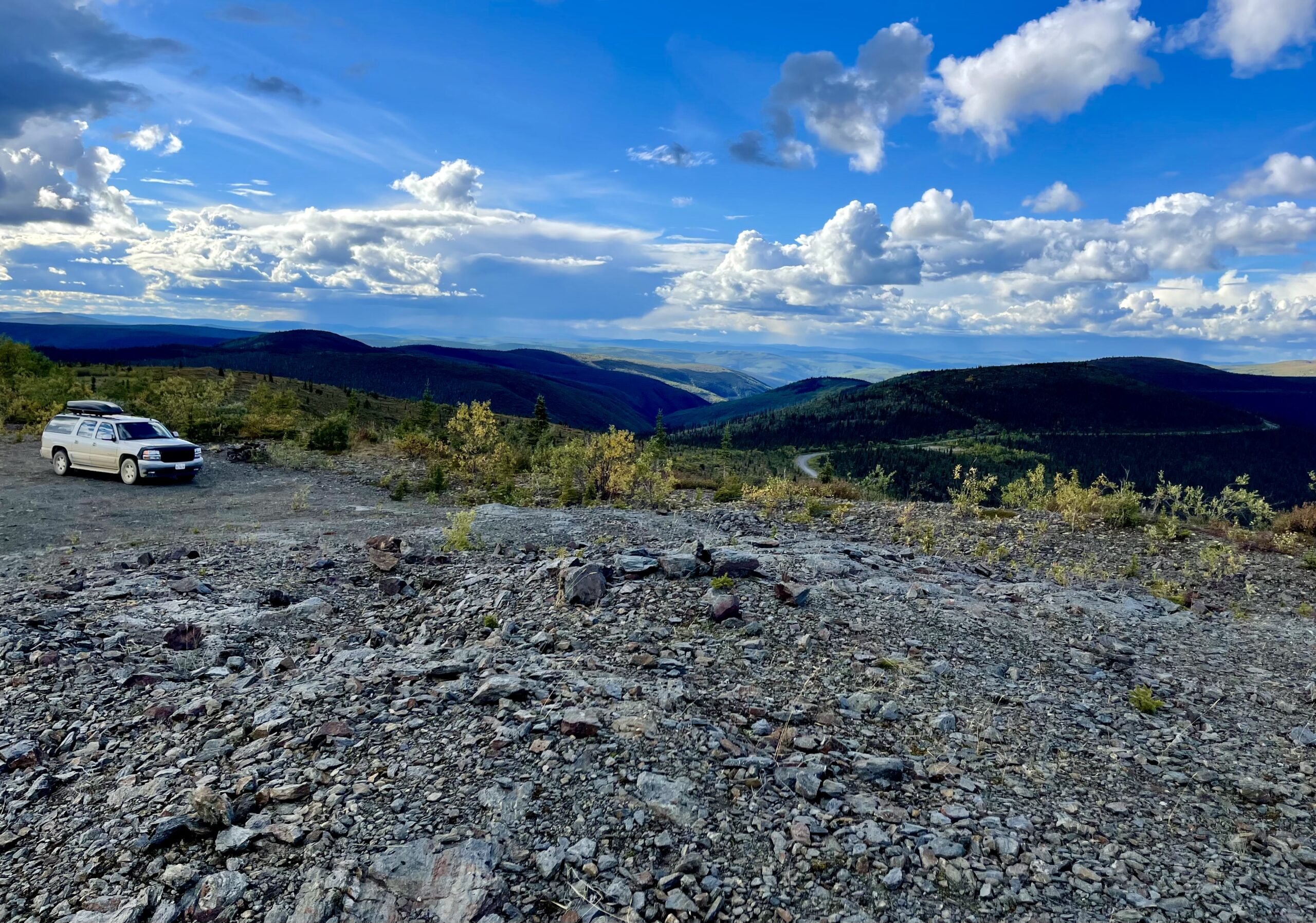
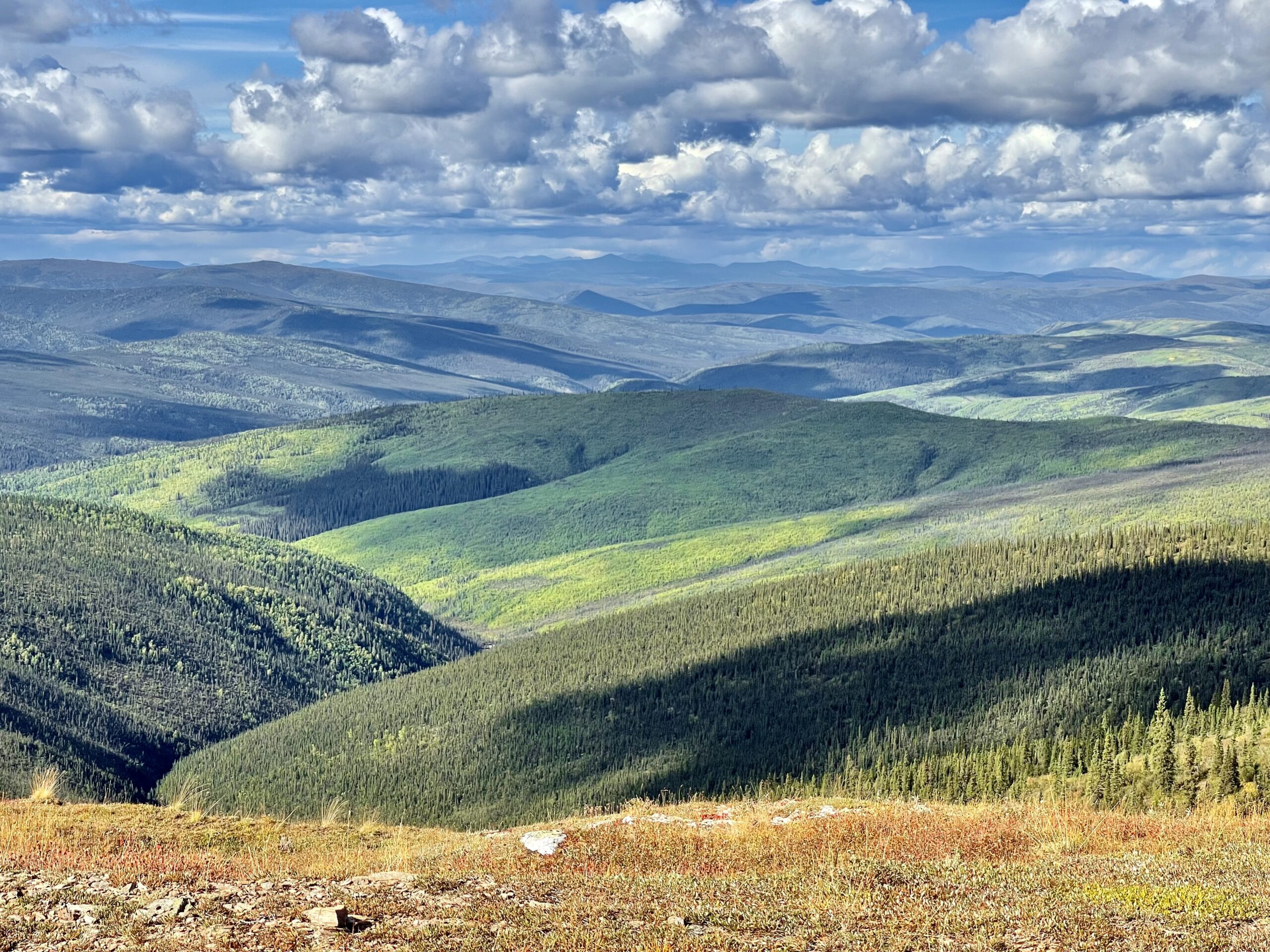
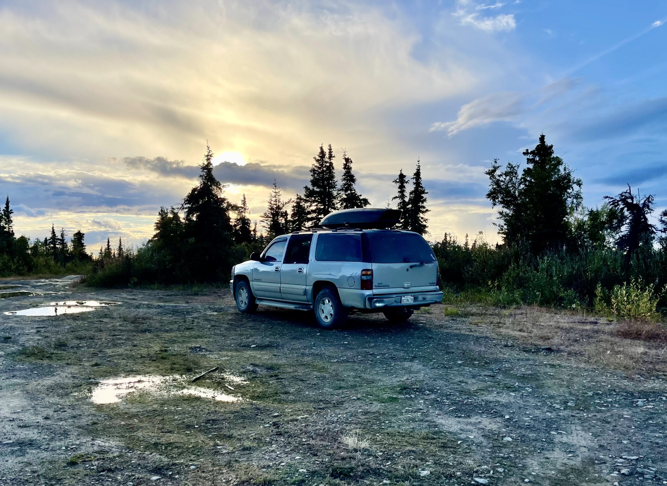
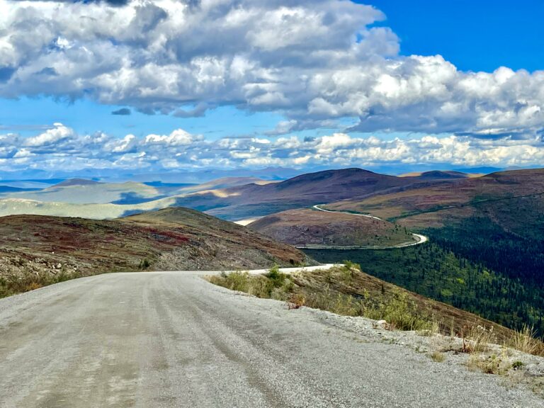
After a leisurely breakfast at our cabin in Middle of Nowhere, AK, we continued driving southeast, completing a giant loop through Alaska. From the Canadian border, we had traveled the Alcan for about 100 miles to Tok, AK, then went southwest to Anchorage, south to the Kenai Peninsula, north to Denali and Fairbanks, then southeast to Tok this morning. From Tok, we’d head northeast again, out of Alaska and back into Canada on a road called, for reasons that would become obvious, the Top of the World Highway.

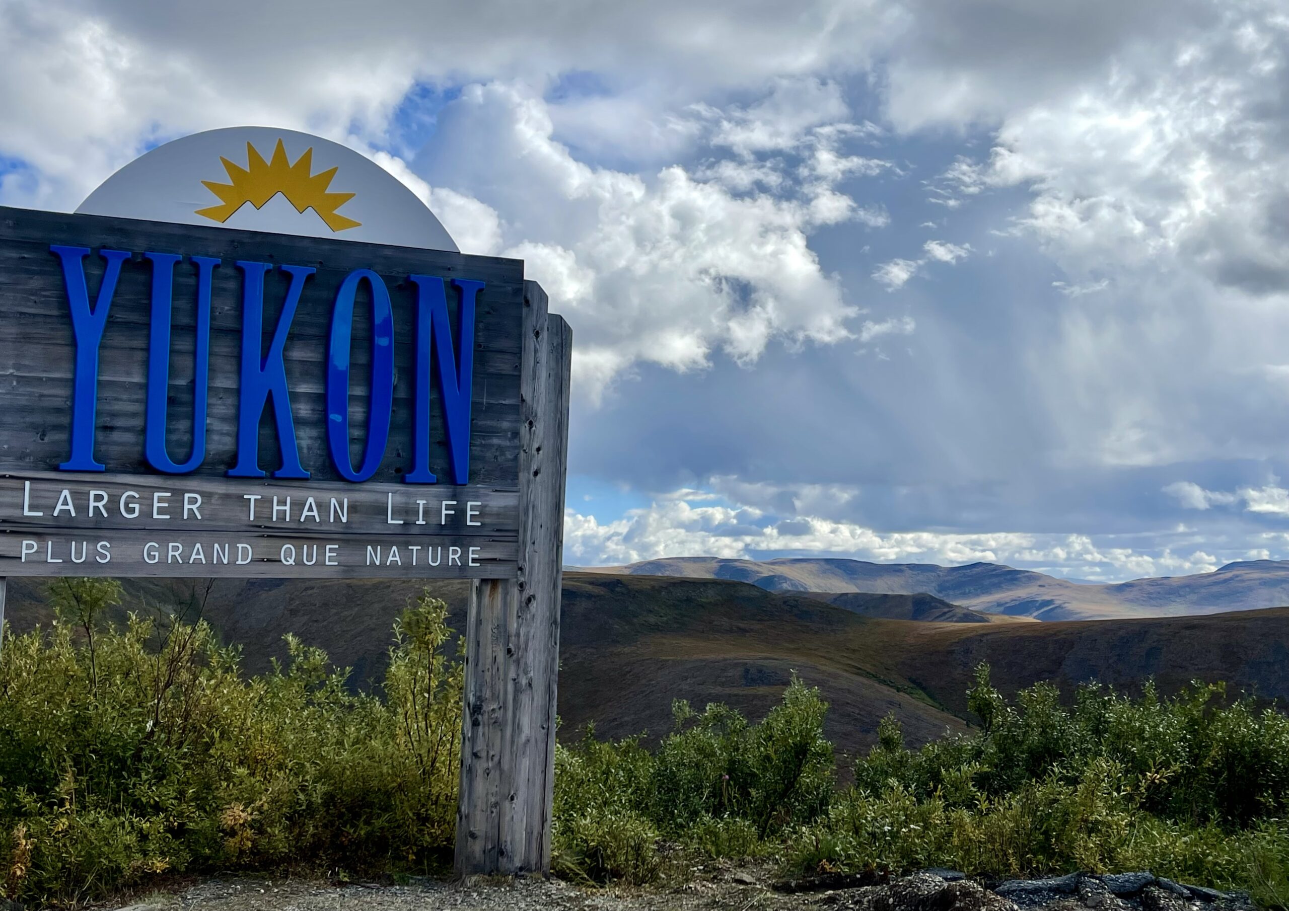
Once back in the Yukon Territory, our plan was to continue north across the tundra, driving on hundreds of miles of dirt road past the Arctic Circle and finally dipping our toes in the Arctic Ocean if all went well.


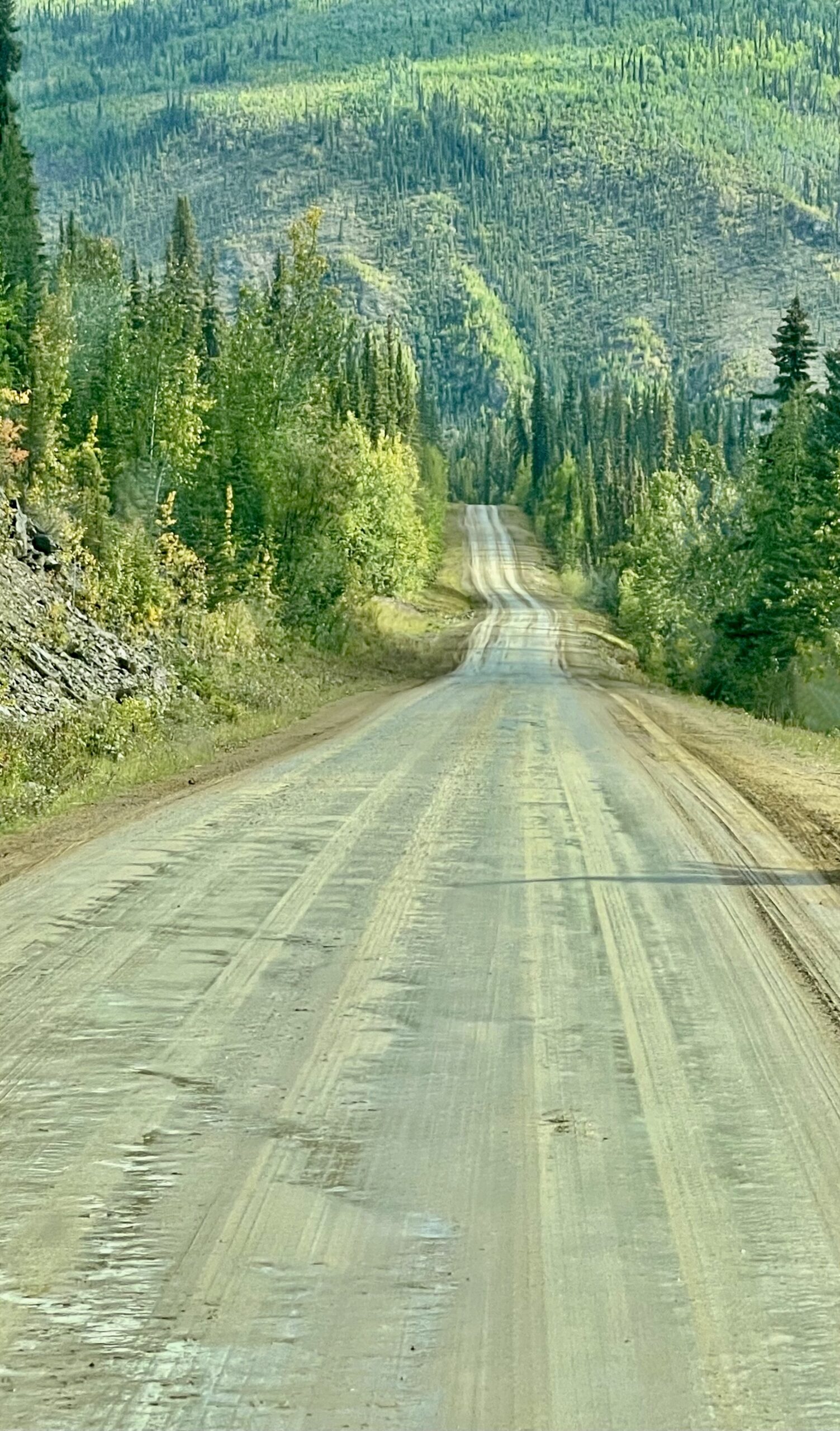
Our goal of driving to the Arctic Ocean was only possible by driving either the Dalton Highway in Alaska or the Dempster Highway in Canada. The Dalton is far more traveled, with trucks servicing Prudhoe Bay, but the last eight miles are private property and the only way to actually visit the Arctic Ocean on that route is to hire a private service for $80 a person that will take you through the secure section of the road and let you gaze at the water for an hour. The Dempster, on the other hand, has far less traffic (and services), but that was part of why we chose it. The challenge would be that it’s 550 miles of completely unpaved two-lane road with very few places to stop for gas or anything else. To reach the Dempster, we’d need to first cross over the Top of the World.


Snow peaks, golden aspen and mudflats, oh my!

The drive from our cabin to Tok was beautiful and foreshadowed the scenery of the day. Almost instantly, we found ourselves driving through a scene of mudflats in the foreground and snow-covered peaks in the distance. In between, were rolling green hills specked with the golden leaves and distant reddish tones of early autumn.

The "paved" section at the start of the remote and almost completely empty Top of the World Highway
The highway, known as the Taylor Highway for the Alaskan section, leads into a rich gold mining area

The 80-mile long Top of the World Highway would be a remote, mostly dirt-road shakedown. Top of the World starts out sort-of paved but then becomes a dirt road, crossing the border into the Yukon Territory midway. The highway follows the crest of low mountains with spectacular views. We soon discovered that it was also spectacularly muddy, as evidenced by the few vehicles coming the other direction that all were covered in gray mud. Before we hit the highway, we gassed up and used the station’s free high-pressure hose (common along the dirt highways) to get most of the last three weeks dirt off. It turned out to be futile. The highway was decent for a dirt road but it had rained recently and the truck wore a new layer of grey within a few miles.

Before too long, the road went through the only “town” along the way—Chicken, Alaska, a tiny village with a population of 12. Chicken was named a century before when it was a much larger town. The founders wanted to name the town after the abundant ptarmigan in the area but no one could spell ptarmigan so they settled on Chicken instead. There were chicken sculptures and signs everywhere. Some were ridiculously large.

The village looked like a movie set for a cross between an old west movie and a horror film about giant killer chickens
Notice the "Beware of Attack Chicken" sign
The crooked buildings seemed ready to collapse at any moment

After checking out the various giant chicken sculptures, we wandered through the few stores selling rubber chickens, chicken sandwiches and the like. Most of the building were tilted at crazy angles and seemed ready to fall over.


Chicken used to be a mining town back in the gold rush days and was now trying to survive, and barely succeeding, as a destination for the handful of curious tourists who came through. The Top of the World Highway is open only from May to September, further limiting visitors. We had no idea how the town survived during the rest of the year—only snowmobiles can get through then.

Abandoned gold mining equipment was scattered around the periphery
Most of it was dilapidated

Millions of dollars of old rusted mining equipment including an apartment building-size dredge were a testament to the massive gold wealth the area generated, and to the greed that raped the land. So much money was made that companies could simply abandon the expensive machinery. Every piece of equipment, every shovel, every nail had to be brought in along dozens of miles of much worse road than we came in on. It was fascinating yet sad to see what the prospect of gold wealth could do.

The road was long, hilly, muddy and wet, but also wild and beautiful
The straighaway section soon gave way to endless hills

Beyond Chicken, the dirt road, slickened by recent rain, began with a relatively straight downhill section but soon wound up and down and around mountains for miles. The road itself was surprisingly good, though with a highly optimistic speed limit of 50 mph. Thirty was more like it. At one point, I hit a gravel patch as I was slowing and felt the truck feebly actuate the sleeping antilock brakes. I learned later that even disabling them apparently doesn’t stop them completely.

Little Gold Creek is a cute little crossing station
The Yukon's "Larger than Life" slogan was fitting

By mid-afternoon, we’d reached the U.S.-Canada border crossing station. The small station is open only June through August. Once again, we were back in Canada and we had to recalibrate our minds from miles to kilometers.

Charles' expression says "The Dempster highway is only 550 more miles of this kind of dirt road."

Once we were in Canada, the road became worse but the scenery became even more stunning. We were rewarded for our driving efforts with early autumn views of mountains stretching for dozens of miles on both sides. It was quiet, vast and beautiful. 

Rocky was sittin' on Top of the World

There were almost no other vehicles on the road and I stopped in the middle of the road whenever Susan wanted to capture a photo. 

Waiting for the ferry across the Yukon River. The gray SUV ahead of us with its car top carrier looked a bit like ours but way smaller
A couple of hardy First Nation members disembarked on foot (literally, one had no shoes) when the ferry arrived

Eventually, the road wound down near the fabled gold rush town of Dawson City, Yukon. To get there, we had to take a ferry across the Yukon River. As we crossed, Susan commented that we were taking our Yukon on the Yukon in the Yukon! The river was wide and turbulent and the ferry was the only way across until the winter freeze when cars and trucks simply drive over it.

Our boondocking site provided views and a pretty sunset but puddles from recent rain meant we had to share the spot with way too many mosquitoes
They are at the top of the food chain in this part of the world

It was time to find a place to camp and as we drove through Dawson City, we decided we’d return the next day to explore what looked like an interesting town. We drove up into the mountains surrounding the city and found a level place along a hardly-used dirt road for the night and fell asleep as the wind blew the mosquitos away.

Leave a Reply

Share this post