Post #108: Past the passes

August 24, 2021


Pro tip: Always check the alarm clock in a hotel room just in case somebody set it for some crazy early wake up. I forgot and at 5:45 am on the nose, we were awakened by five loud blats. I reached over, cursed the stupid clock and hit what I hoped was not the snooze button. It was and ten minutes later it went off again. I tried yanking the cord from the wall, but it was screwed in so I squinted my still-sleepy eyes and found the off switch. Off course we were wide awake by then but laid in bed feeling the cool mountain breeze through the open window. There are worse ways to wake up.


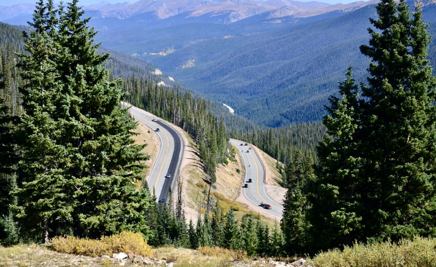
We lingered at the hotel for their complimentary breakfast, then packed up our cooler (yay in-room fridges with freezers!) and gear and headed out of Snowmass, back toward Aspen. A couple of miles out, the traffic backed up to a crawl and I was frustrated to see our two lanes inbound were suddenly cut to one while the other became strictly for busses, of which we saw none. A poor design.

Climbing down into the ice caves required some tricky bouldering on slippery rocks. We opted to explore the waterfalls instead
Relaxing above the mesmerizing falls
Check it out down here!

But leaving Aspen took us up a narrow two-lane highway that would lead to Independence Pass at 12,095 feet. After driving for only about half an hour, we stopped for a hike Susan had read about. The beautiful trail led into some ice grottos, then along a creek that cascaded into several pools among giant boulders that were left there when the last glaciers melted some 12,000 years ago.


Once we reached the falls, there wasn’t really a trail as much as endless rocks to climb over and around as we meandered up the rushing creek, stopping to rest at one mesmerizing spot after another. It was hard to leave the Grottos Trail but eventually we headed back to the truck to continue the day’s explorations. 

Driving up the highway, we had to keep stopping for the amazing views, one of which was Mt. Elbert, the highest peak in Colorado (but not as high as California’s Mt. Whitney, we thought smugly). Some small patches of snow clung to the shady parts of the mountains above us. I could tell the truck was laboring at such altitude and it felt like the engine shrank by 50%.

Once the Colorado Territory opened up in 1861, gold prospectors arrived by the thousands
A few remaining buildings down the hillside were all that remained of this once-bustling gold rush town

We stopped briefly at an overlook with a view of Independence Ghost Town. The now-empty town came into being when tens of thousands of gold prospectors poured into the area in the late 1800’s. Sadly, the native Utes were exiled from the lush mountain valley and relocated to reservations in southern Colorado and Utah.

At over 12,000 feet, it was a bit chilly and windy at the pass
Heading east, across the divide

Finally, at the Independence Pass summit, we pulled off and hiked in the cold wind to a lookout where we were again surrounded by bare granite mountains. It reminded us of the Beartooth Pass in Montana but with more visitors.

Back on the road, we descended on the eastern slope of the Continental Divide for a long time, eventually reaching Leadville, a place I’d always wanted to visit because it’s one off the highest inhabited towns in the U.S. at over 10,000 feet. At one time it was second only to Denver in population though now it has only about 2,500 people living there. 

There wasn't much to Leadville. Luckily we found gas

There was a fair amount of traffic on the narrow main street and not much of a town so it was a bit of a letdown but we decided to at least stop for gas as we were getting low. The first gas station was closed, the second had run out of gas and only had diesel. Fortunately, the third and last one had gas.

Charles munched on granola while Susan prepared lunch

The next part of the route brought us back down long stretches of descents that I thought must eventually bring us to sea level, but where we stopped for lunch an hour later was still at 8,000 feet. We’d been searching for a picnic area but, unable to find one, ended up stopping at an enormous gravel lot across from the Copper Mountain Ski Area just before we reached Interstate 70 and had a tailgate lunch.

After that we drove briefly on the interstate, descended more, then climbed again. We crossed another stunning pass, Berthoud Pass (11,307 feet elevation), before eventually reaching the western outskirts of Rocky Mountain National Park. 

Switchbacks from Berthoud Pass

We’d planned to boondock just outside the park but along the way we saw a sign for a National Recreation Area campground that appeared to be on a peninsula jutting out into huge Lake Granby so we pulled in. The campground was almost empty and the cost was just $11 with our pass. It was early for us to stop, but the campground and lake were inviting. 

Charles surveyed our waterfront property for the night
Wildflowers adorned the stairs leading from our campsite down to our picnic table and the beach

We found a lakefront site with a view across the water to ragged granite peaks that we thought must be in Rocky Mountain National Park. The temperature was a perfect 75 degrees with a gentle cool breeze. 

As evening came, the views were even prettier

It was warm but breezy by the lake and we enjoyed a leisurely afternoon. We took walks along the beach and around the campground but mostly took advantage of the beautiful campsite to relax before heading into the national park the next day.

The setting sun left its golden reflection on the lake

Leave a Reply

Share this post