Post #148: Finding the lost coast

June 25, 2022


Somewhere around 3 am we woke up to an incredibly clear, starry sky. The fog had lifted and the Milky Way was bright, likely due to the absence of light pollution anywhere nearby. We were so mesmerized by the sky that we almost didn’t realize how chilly and windy it was outside the truck and that it was the middle of the night. Eventually we got back inside and dozed for a few more hours.

It was Friday and we’d been warned that Usal Beach – despite the hard drive in – can turn into a place for loud parties on weekends and we didn’t want that to spoil the feeling of the place. So, we left before 7 a.m. and drove the tortuous single-lane road back to Highway 1 to Leggett, then on to Highway 101 north.


Once we reached Garberville, we stopped at a county park along the Eel River and made breakfast. It was a lovely, quiet spot and the only other people around were a couple of birdwatchers who stayed briefly. 

We enjoyed breakfast in a local park along the South Fork of the Eel River
Out for a short morning hike along the Eel River
The rivers of Northern California are very clean and very blue

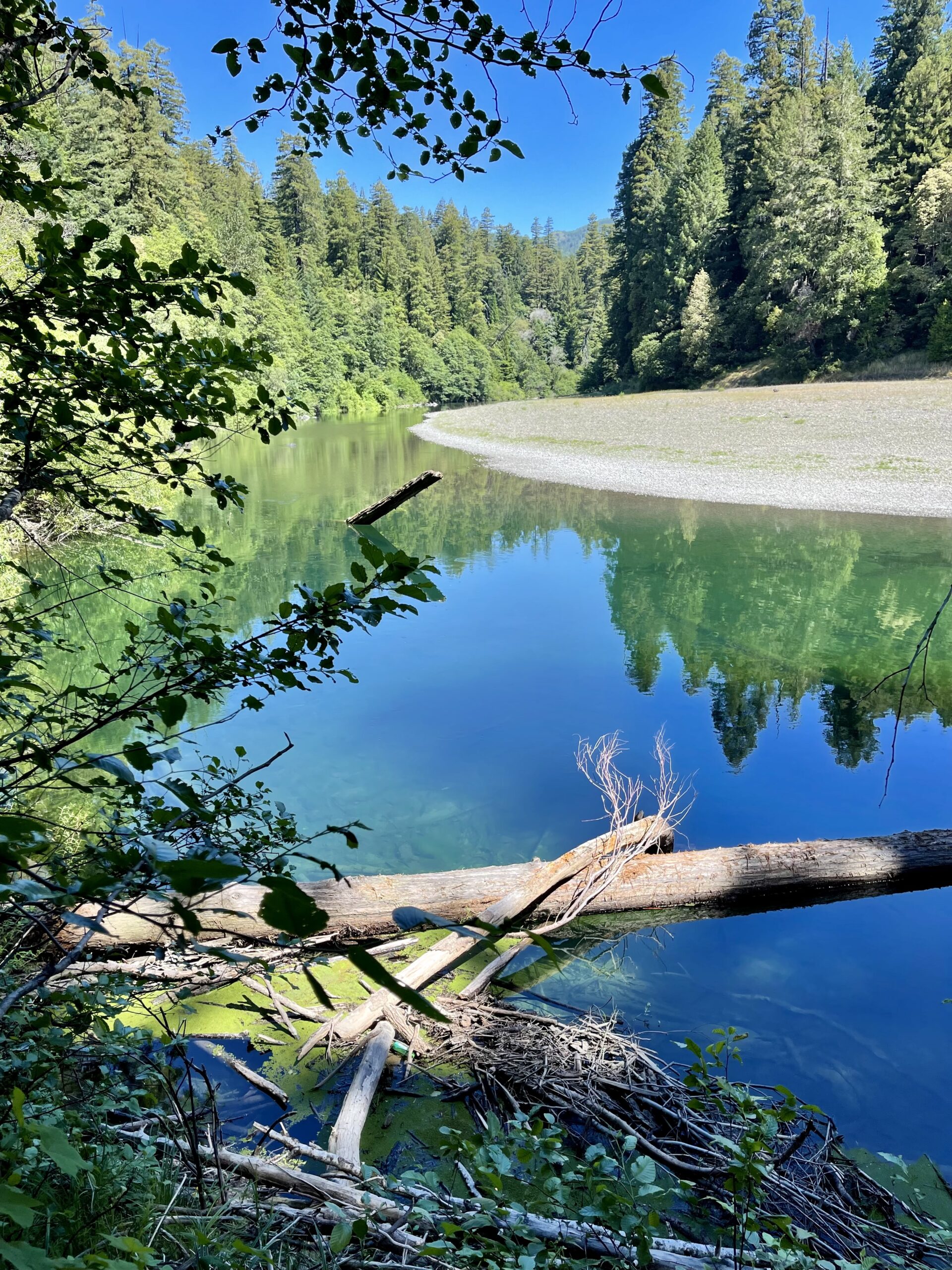
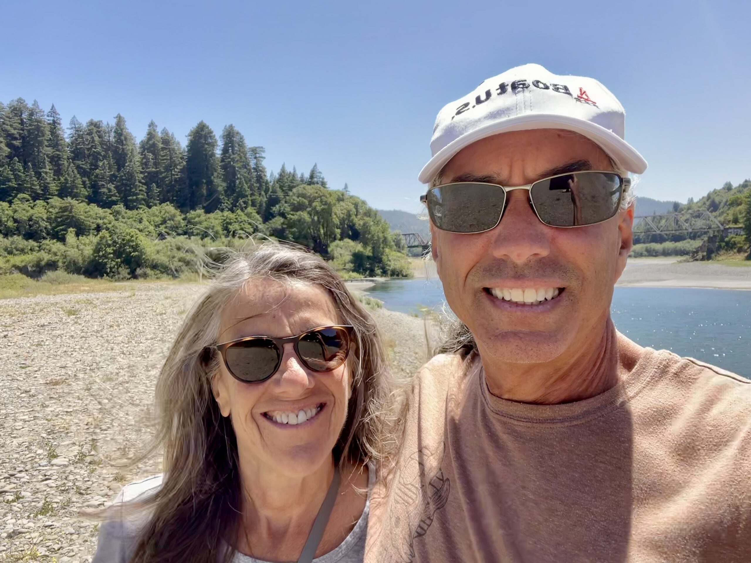
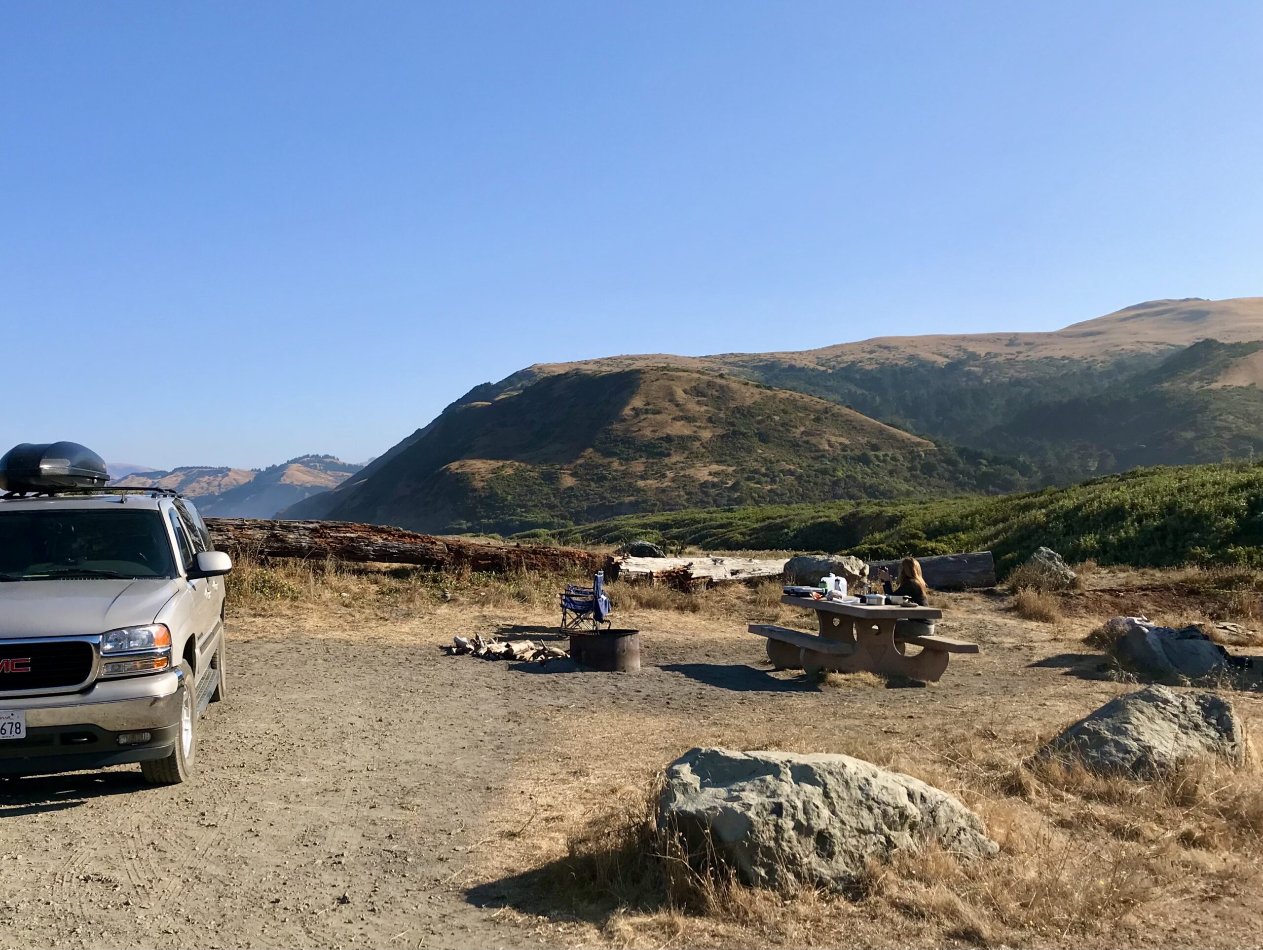
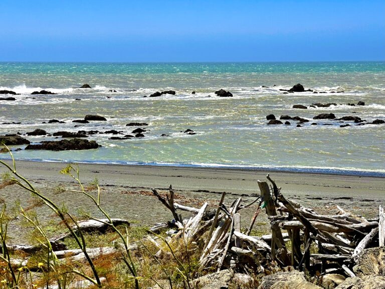
From there, we continued north on 101 to another spot along the Eel River. Soon we’d be returning into the fog, so we appreciated the clear air and stopped for a short hike in perfect weather under a clear blue sky. After the river, we headed back toward the lost coast on Mattole Road—another long, winding, narrow and steep road. At least this one was “paved” with ancient beat-up asphalt.


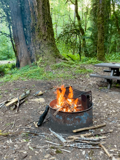
Almost immediately, and unexpectedly, we found ourselves in Humboldt Redwoods State Park. The road meandered for miles through a beautiful redwood grove with giant trees lining both sides. We saw only two other vehicles on the road, and after a few miles they both turned off toward a campground. From there, the road was all ours.

The aptly named town of Petrolia is home to California's first oil wells. They didn't produce for more than a few years
Today's "black gold" could very well be the name of a marijuana strain grown in one the dozens of massive grow houses near Petrolia

Mattole Road eventually brought us to the tiny town of Petrolia. Decades ago, oil was discovered nearby (and the first well in California was drilled) and the town grew to service the wells. The wells did not produce for long, so the town shifted to logging and ranching. Eventually those industries were replaced by marijuana—Petrolia is in Humboldt County California, known for its high-quality weed. The isolated little town now consists of not much more than a post office, a general store and some houses surrounded by large marijuana grows.

At Mattole Beach Campground on the Lost Coast in 2018
Campsites there are tucked between the dunes and the coastal range
After hiking in the sand and rocks along the Lost Coast Trail, we were nearly as worn out as these sea lions

We’d come through Petrolia four years earlier while en route to a camping and hiking trip at the Kings Range National Conservation Area along the northern part of the Lost Coast, the longest stretch of undeveloped coastline in the continental United States. We’ve been determined to return to this remote region so we could continue north on Mattole Road from Petrolia along the Lost Coast Scenic Drive that continues for about 30 miles along and above the rugged coastline to Ferndale, California.

After leaving Petrolia, instead of turning off to Mattole Beach Campground, we continued onto the Lost Coast Scenic Drive. The road soon dropped steeply from the King Range mountains to the coast, where Highway 1, had it been braver, would have been.

This road though was no highway as the narrow lanes snaked down and then paralleled the wild coastline, with the surf breaking sometimes only 30 feet away. Driving north, on the right were steep green hills and to the left were the crashing waves as we drove for miles along the uninhabited coast.

Wildflowers bloomed among the tall grasses that lined the rough road between the ocean and the hills
The hills in the distance are part of the Kings Range National Conservation Area, where we'd hiked before
The shore was rocky and the ocean was starting to get whipped up by strong winds
This massive rock reminded us of Morro Rock in Southern California

A few pullouts dotted the road, which was surprisingly well-paved in this section. Some of the pullouts were said to be camping spots, but they were right next to the road and a chilly, constant 25-mph wind was blowing off the water. It was 53 degrees, close to the average high in these parts during summer. Had it been late afternoon or evening, we might have decided to sleep along the road; there would be almost no traffic and it was about as wild a coastline as you can find in the lower 48. When we stopped occasionally to see the stunning scenery, the strong wind rocked the truck and the surf could be heard behind closed windows. We’d driven hours over rough roads to get here and it was totally worth it.

Victorian buildings in Ferndale, CA. Photo credit visitredwoods.com

After leaving the wild and scenic coast, the road suddenly climbed steeply into the coastal mountains, until it finally crossed a pass. Before long, it descended into Ferndale, a small town full of well-preserved Victorian storefronts and homes.

Eventually, the road returned us to Highway 101 where we again turned north, and then went away from the ocean and east onto Highway 299 into the Six Rivers National Forest. The road climbed into the coastal range as we began to look for a place to camp for the night. 

There were several National Forest campgrounds and we turned into Willow Creek, just off the highway, hoping for a quiet night before we retraced our steps the next day back to the coast to Arcata where there would be a large farmers market in the town square.


There were only two or three people in the campground and we picked a large secluded site set well back from the road and near rushing Willow Creek. Four dollars was all it cost. We parked our truck and took a walk along the creek and up a nearby unmaintained dirt road before settling down to make dinner.

We built another fire as we batted pesky mosquitos away—there were swarms of them by our creekside campsite after sunset
We watched the setting sun through the trees on the distant hill

Back at our campsite, we found a second, smaller creek (we called it a creek-let) tucked behind ferns, moss-covered trees and boulders. It was a beautiful spot. Now that we were inland, the chilly coastal weather had given way to comfortable temperatures near 80 degrees and we enjoyed the shade of the many towering redwoods at the site. 

As we sat at the picnic table by the fire, we watched a curious interaction between two wasps who’d come there after dinner. Were they having a battle or perhaps having sex? We assumed the former but hoped for the latter. The presence of one dead one the next morning gave us our answer.


Later, as darkness settled, we installed our bug screens and fell asleep easily to the rushing creek.

2 Responses

Leave a Reply to Susan FortCancel reply

Share this post