Post #157: Alaska!

August 15, 2022


Despite being as careful as possible the night before, we both had some mosquito bites. We don’t like crawling into bed slathered in DEET so we try not to apply any near bedtime and somehow word had gotten out. The few that had buzzed in as we opened the doors were eventually swatted so we could sleep in peace. Except for one. In the dark I couldn’t find him but heard his constant whine. Susan tends to have more severe reactions to their bites so I uncovered my head and figured if the mosquito only needed one meal, I’d be it.


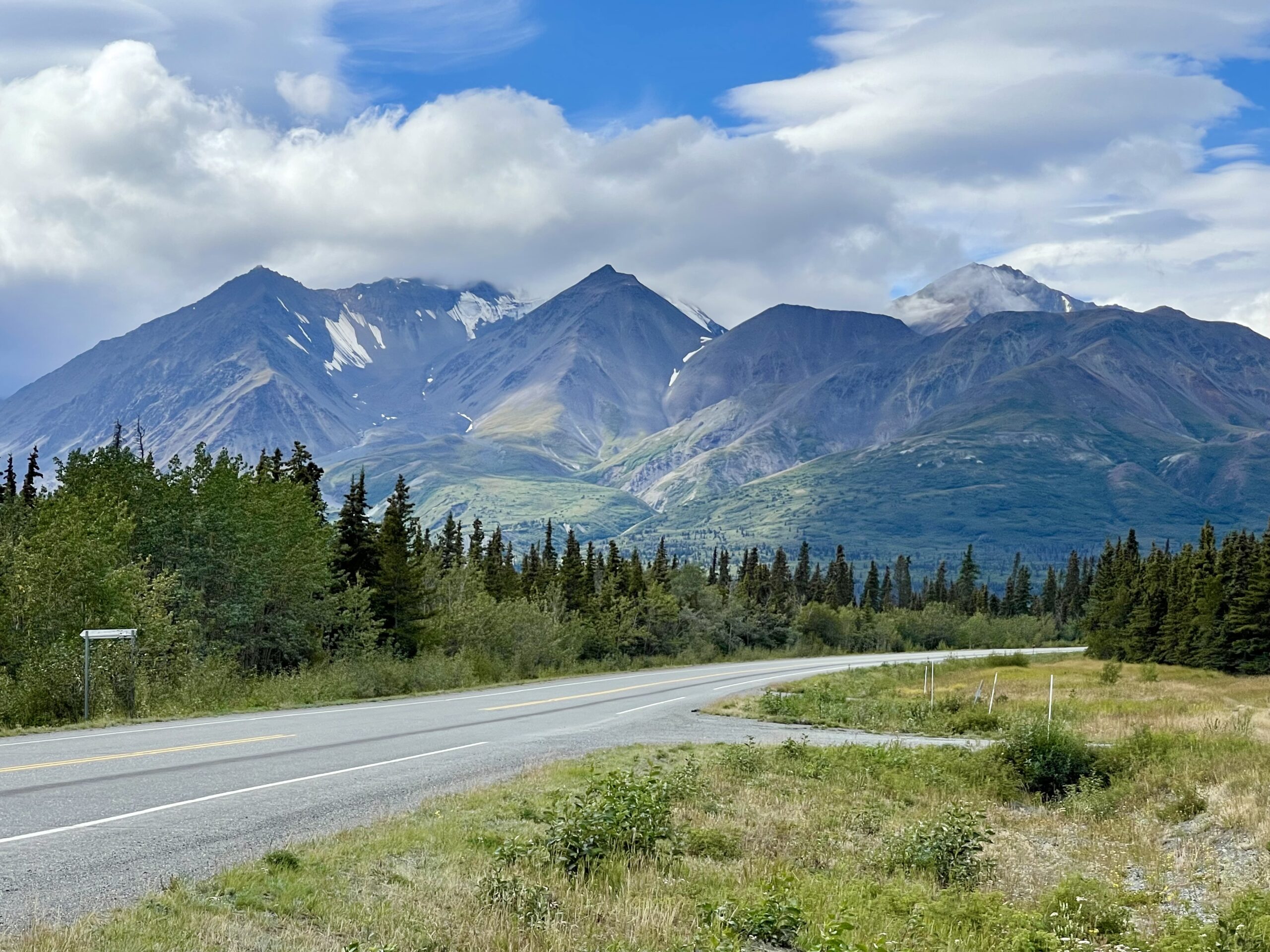
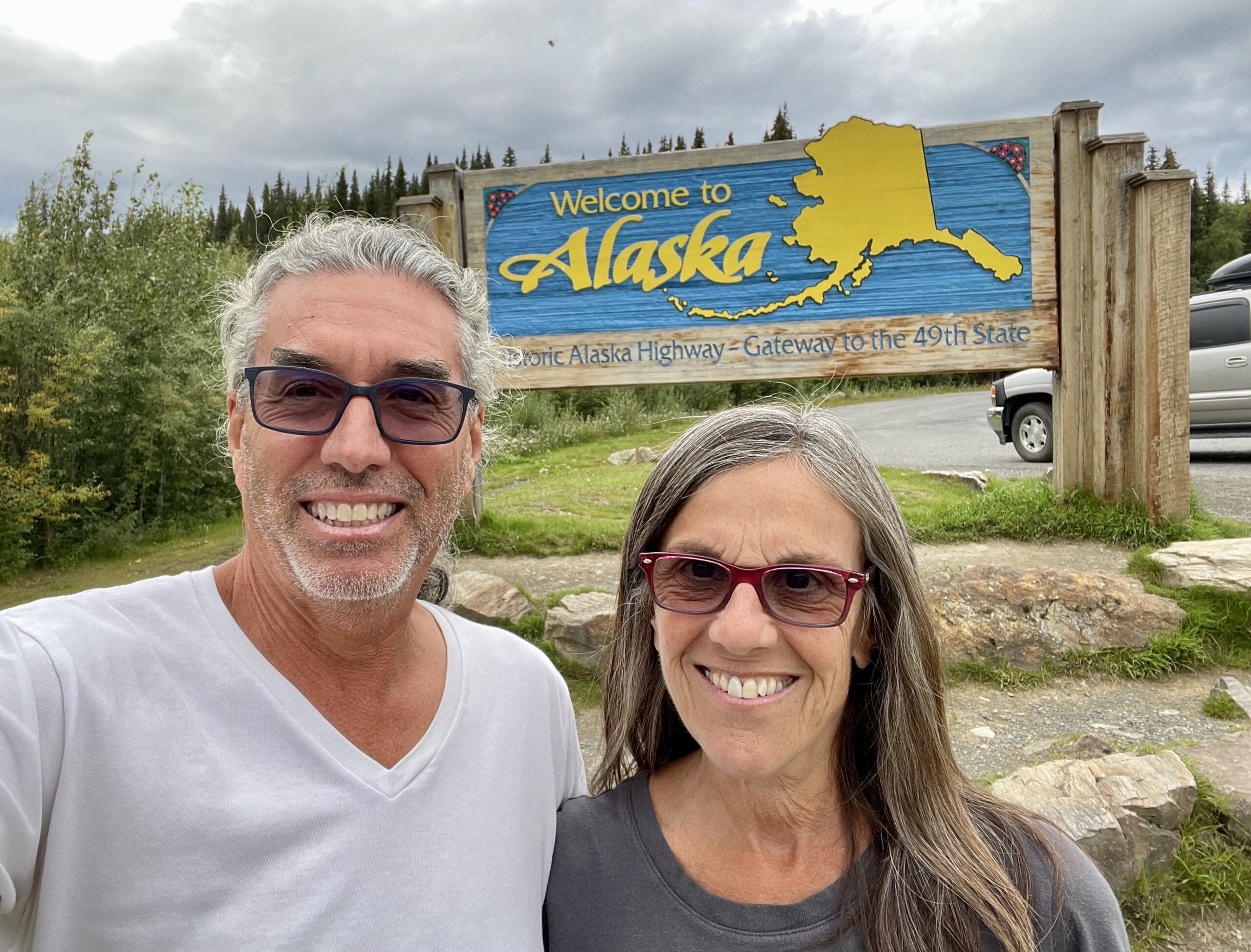
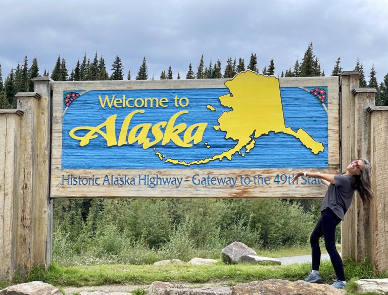
On the road we calculated that while it would be a long day, we could make the Alaska border by evening. We’d already driven 700 miles on the Alcan in Canada and still had over 500 miles to go to reach the border.

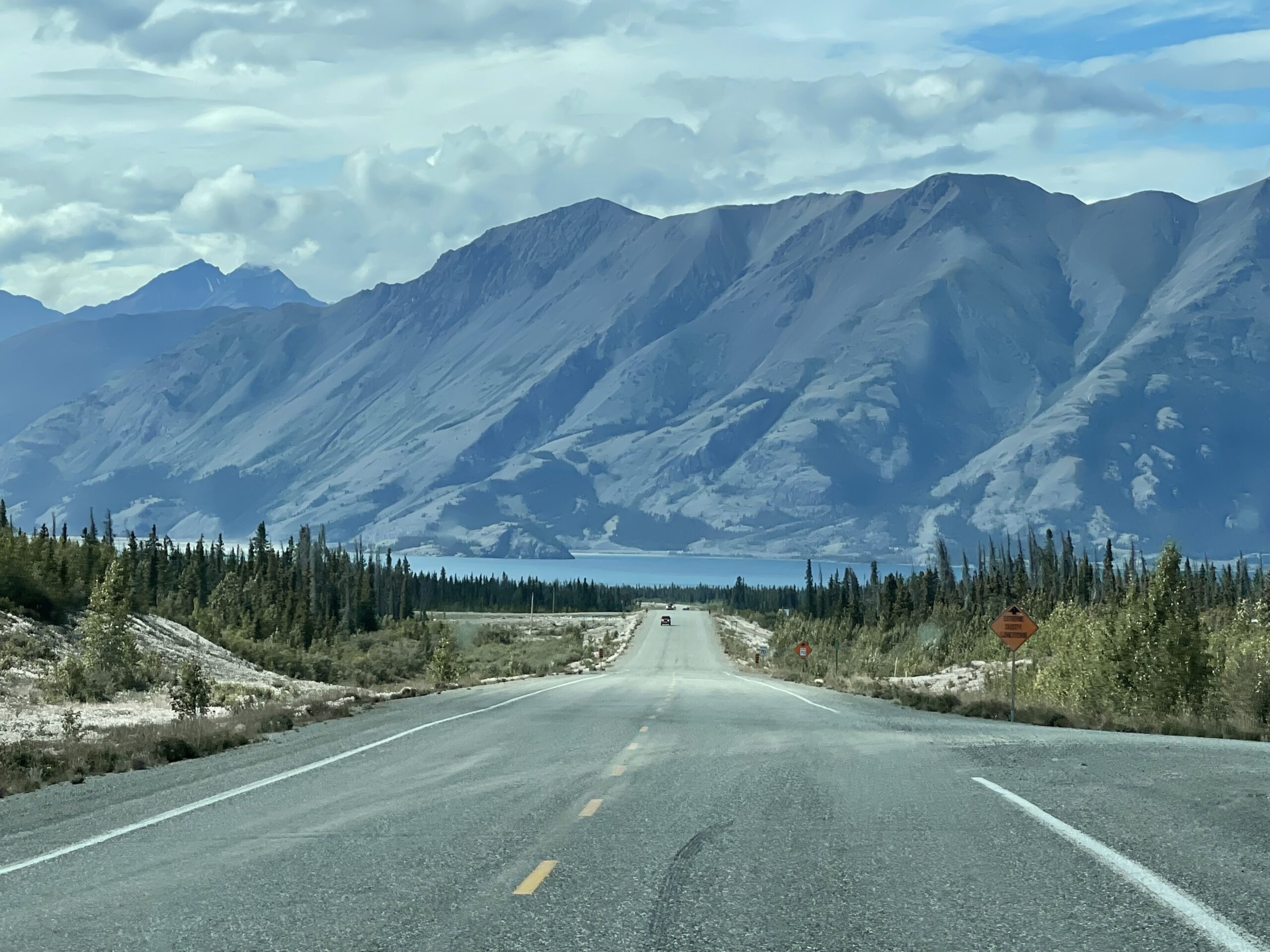
We stopped at another bakery along the Alcan and bought two pastries from a burly truck driver with sausages for fingers who worked there part time. We chatted for a while, mostly about mosquitoes, which seemed to be a big topic. Digging in, we were disappointed by the cinnamon roll, after having the apparent best the day before. Back on the road, we saw a porcupine waddling along the roadside and thought about how remote a place this was.


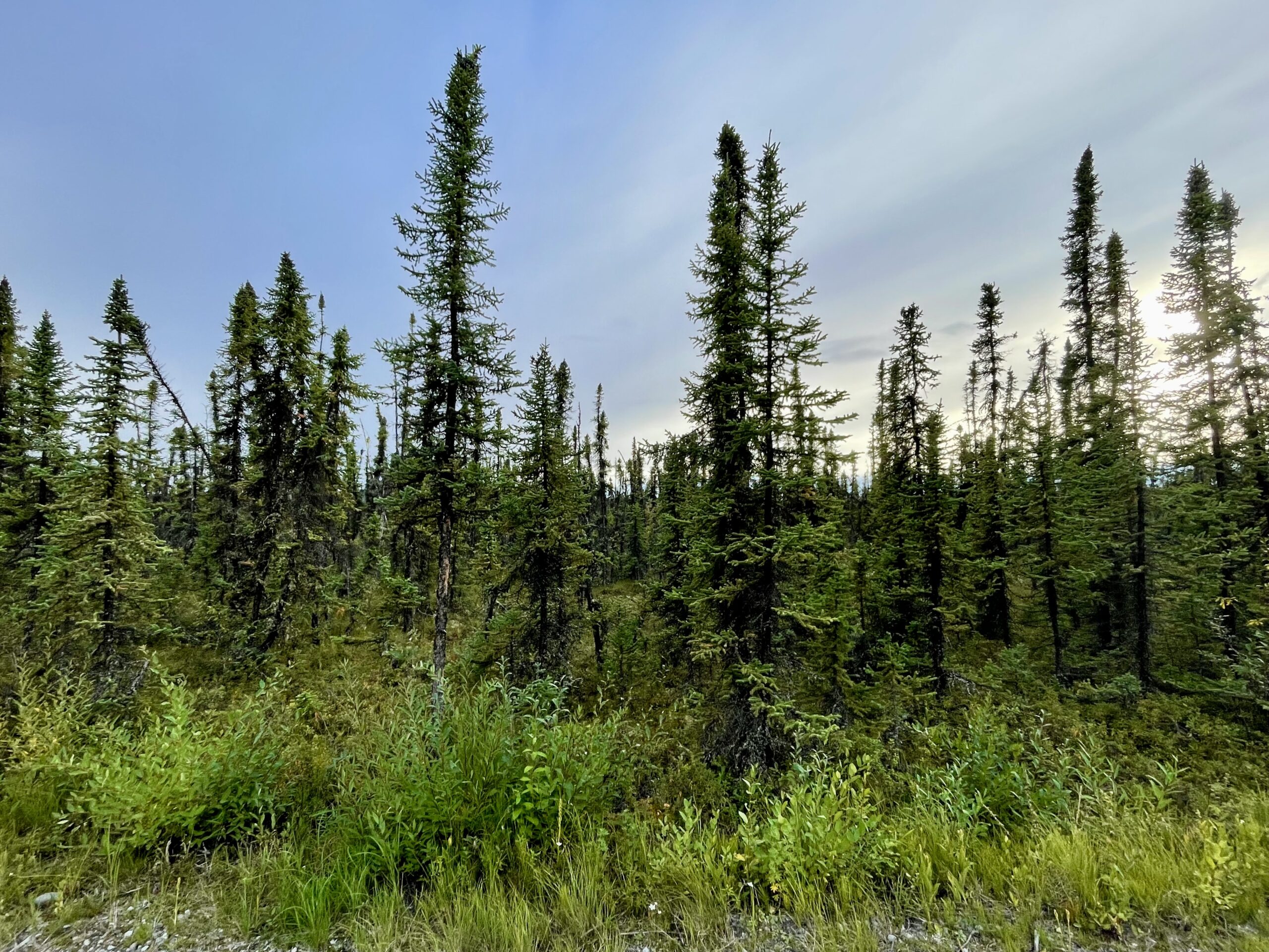
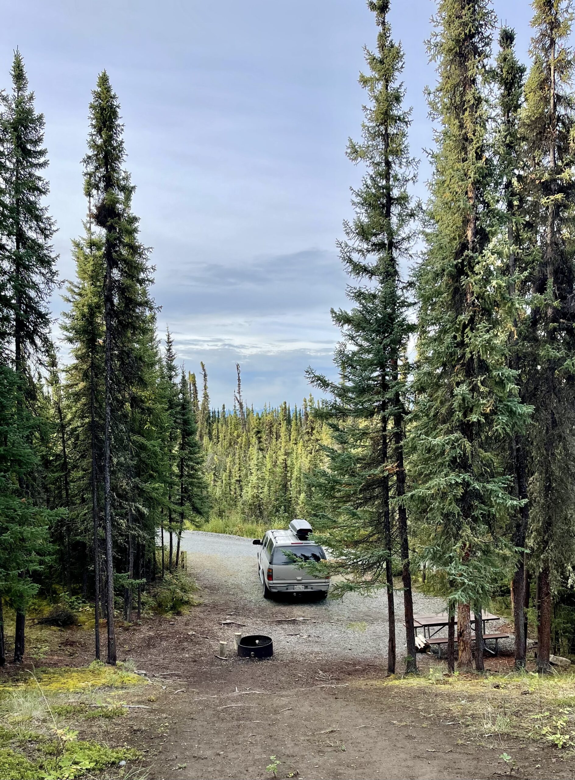
Traffic going toward Alaska like we were was almost nonexistent while there was a light stream of RVs and campers headed the other way. It almost felt like Alaska was closed and all these people were being turned away. It was late in the season and we’d hoped we’d beat the crowds (yep), that the cooler weather would decrease the mosquitoes (not yet) and that we might even get late summer fall-like colors farther north (fingers crossed). The weather had been decent with August highs now only in the 60s and 70s with chilly 40s at night. We’d gotten some light rain on the road and the “prime” season was over. So far, we’d not met a single traveler going all the way to Alaska though we’d talked to quite a few travelers we met along the way at gas stations and stores. We’d been hoping to meet some like-minded people but so far had no luck.

Typical scenery of the day

The highway headed into mountains as it weaved through endless fir forests, small and large lakes and swampy areas. Some parts of the highway looked as if a giant had mowed down a 300-foot-wide swath through endless tall trees. Then a lake would come into view, then glacier-covered mountains. The varied landscape kept the long drive interesting.

Descending toward Destruction Bay
Pretty Kuane Lake is set beneath granite cliffs and surrounded by black spruce trees

We drove for mile after mile along the lonely Alcan. About five or six hours into our drive, we arrived at Destruction Bay and were once again immersed in beautiful mountain scenery. The Alcan descended from higher elevations and ran alongside disturbingly low Kluane Lake for about 70 km (44 miles). 

The lake was receding because of melting glaciers as a result of climate change
The road was empty, rough and at points nearly indistinguishable from the banks of the receding lake

The lake, we learned, was receding because the glaciers have less melt-water every season and no longer adequately feed the river that fills the lake. The road conditions were pretty bad in this area, but even worse conditions lay ahead.

On the surrounding hillsides there were regular spruce trees
But the lowlands supported only the skinny, dark and slightly crooked black spruce

After Destruction Bay, we drove a long stretch through a boreal forest with thin black spruce trees stretching away as far as we could see. The Alcan engineers in 1942 had a tough time on this section because they were building on top of permafrost that partially melted each summer, turning the roadbed into mud – and eventually made giant undulations in the road. Crews had to delay the construction for weeks while they tried to figure out a method to build on it. Today, the undulations still occur, resulting in a roller coaster road that tested our truck’s suspension.


Then the potholes started. Some were certainly big enough to blow a tire or bend a wheel and I had to pay close attention to the road surface. On the plus side, there was no traffic and I could weave all over the highway to avoid the worst. We’d heard that this stretch of the Alcan would be one of the worst and so far it was.

We stopped at a small paved rest area to make sandwiches for dinner before we got to the U.S. border – we’d learned that paved areas would have less mosquitoes. 

It had been quite a while since we’d seen another car and the rest area was deserted. The weather was cloudy and cool and so quiet it was eerie. 

Shortly after we got back on the road another black bear sauntered by

Finally, around 7 pm we reached the Alaska/Canada border. We stopped and took pictures at the sign marking the international border, oddly located a couple of miles before the U.S. border patrol entrance station. Susan was delighted that now she’d finally been to all 50 states, Alaska being last on the list. I’d sailed to Alaska (also my 50th state) 25 years before, but had only seen it along the Inside Passage.


A few miles down the road a surly DHS agent looked at our passports and waved us through barely glancing at us, and we were back in the U.S. It was time to recalibrate and think miles instead of kilometers again.


Unfortunately, now the road suddenly became significantly worse. At least the Canadians had tried to fill in some potholes, but not here where we bobbed and weaved all over the road trying to avoid the worst ones.

Registering for our free campsite
Home for the night

After about 15 miles, we turned into pretty Deadman’s Lake Campground inside the Tetlin National Wildlife Refuge. There was a campground host, stacks of firewood and even canoes and paddles to use on the lake. And it was all free. We had no idea why. We were surprised there even was a campground inside a national wildlife refuge, as our experience in the lower 48 has been that wildlife refuges  typically are off-limits to camping. 


It was past 7:00 pm and we doubted there’d be a campsite available. And while the lakefront sites were taken, all the campsites were wooded and relatively private. We were almost elated when we snagged one of the last available ones.

Path through the boreal forest

There was a nearby boardwalk trail through the boreal forestand we still had plenty of daylight left. We hadn’t seen many mosquitoes here yet but Susan applied some DEET just in case and we took off to explore.

Signs along the path noted that the short black spruce trees all around the campground meant they were growing on top of permafrost. The trees were slightly tilted due to frost heaving and the melting permafrost at their base. Often referred to as “drunken trees,” Scientists have noted an increase in their drunken appearance in more recent years in subarctic regions like where we were—again, attributed to global warming that has increased the melting of permafrost.

The loop path brought us to peaceful Deadman’s Lake.

We relaxed where we were for a while, watching the sun dance on the lake, listening for birds and enjoying the quiet.


We were in the Alaskan interior now and it was a bit cooler. And in the boreal forest where we were camped the mosquitoes were not nearly as bad. We put up our screens anyway but this time we didn’t hear any buzzing during the night.

One Response

  1. This blog takes me from “oh wow that is so cool, what a view, we should go camping!” to “oh my god those infernal mosquitos!” and back again. Thanks for sharing your travels. This is beautiful stuff.

Leave a Reply

Share this post