Post #158: Wrangling Wrangell rangers

August 16, 2022


We were on the road by 7:30 am, delaying coffee and breakfast until we had some miles under our belt for the day. The Alcan was mostly a road used to get somewhere and we were about to be somewhere. But the road was even worse than the day before. It’s hard to bottom the suspension on a truck like ours but a couple of times the frost heaves did it. In addition, jagged potholes three feet across and a foot or more deep littered the road and we weaved all over both lanes to avoid them. Fortunately, there was again almost no traffic. The Harley riders back in Ft. Nelson had told us how bad the road was and said it was so rough that trailer parts lined the road in some places and several whole trailers were abandoned. That turned out to be a bit hyperbolic but I’m sure the road caused plenty of damage to vehicles, especially trailers.

More than once the Alcan changed without notice and unapologetically into a dirt road
Alaska has two seasons - winter and road repair

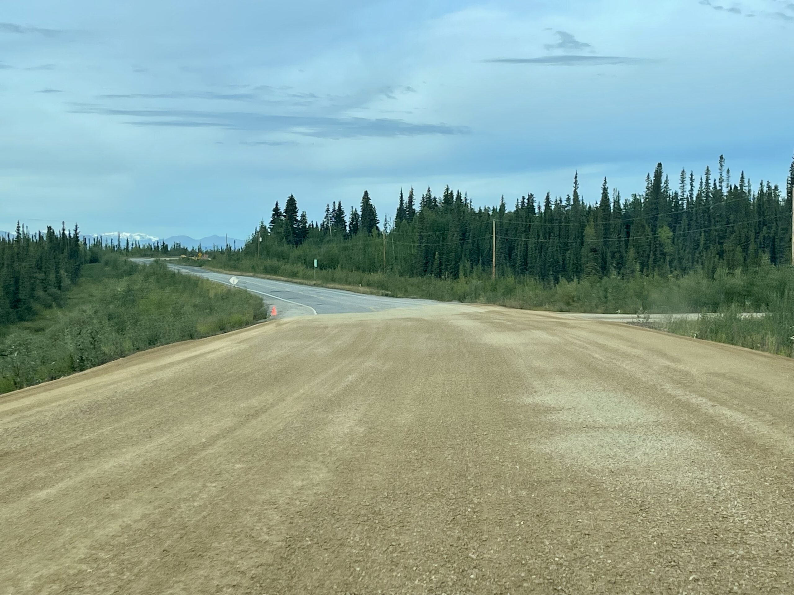
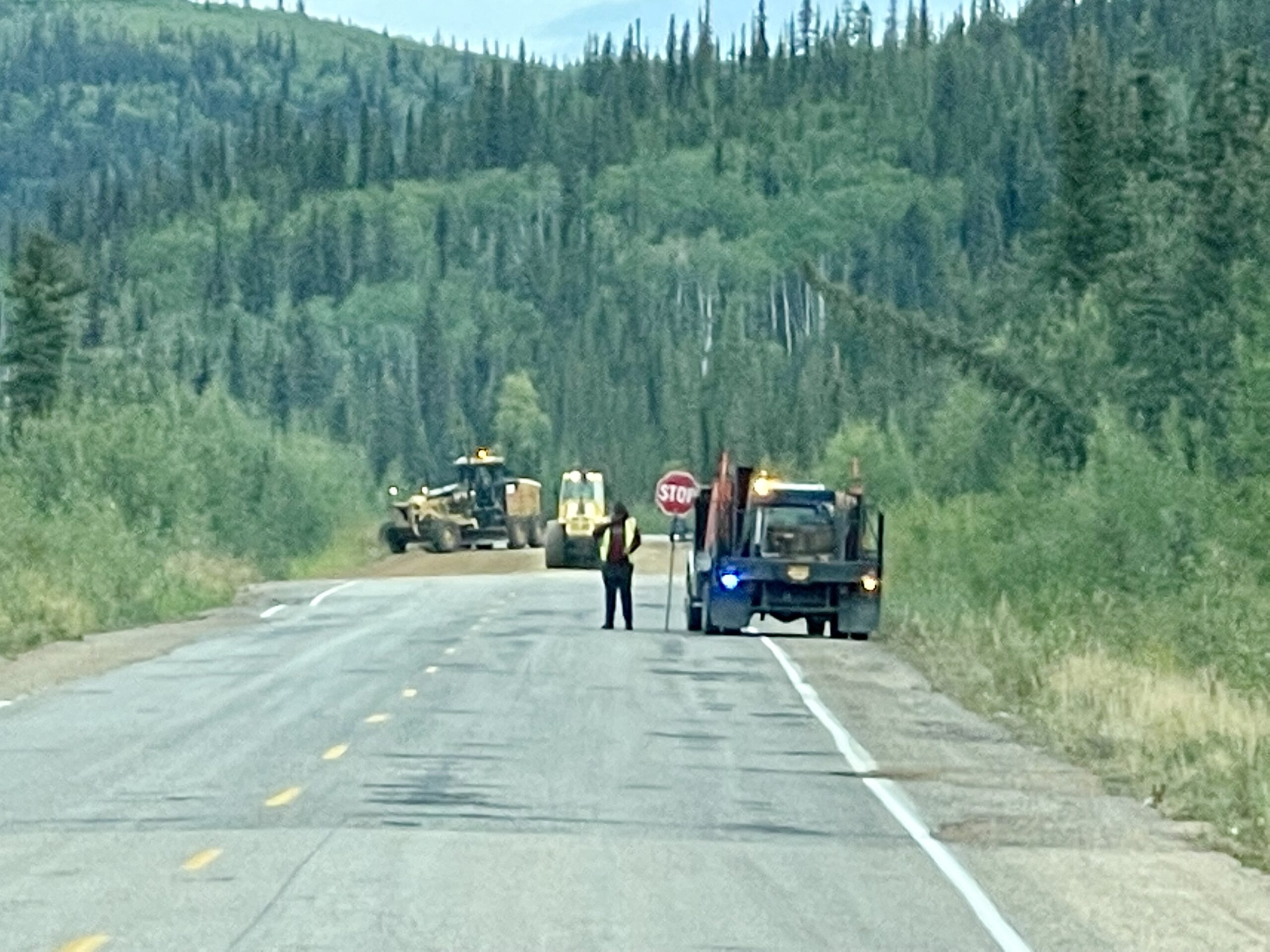
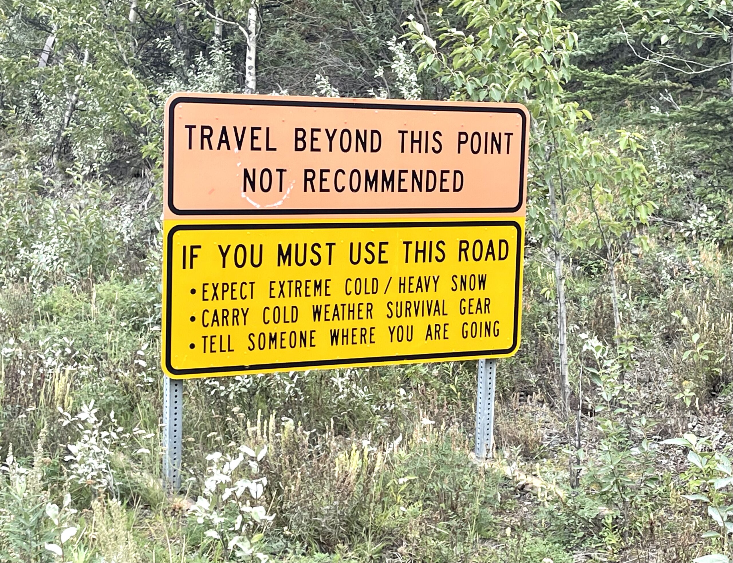
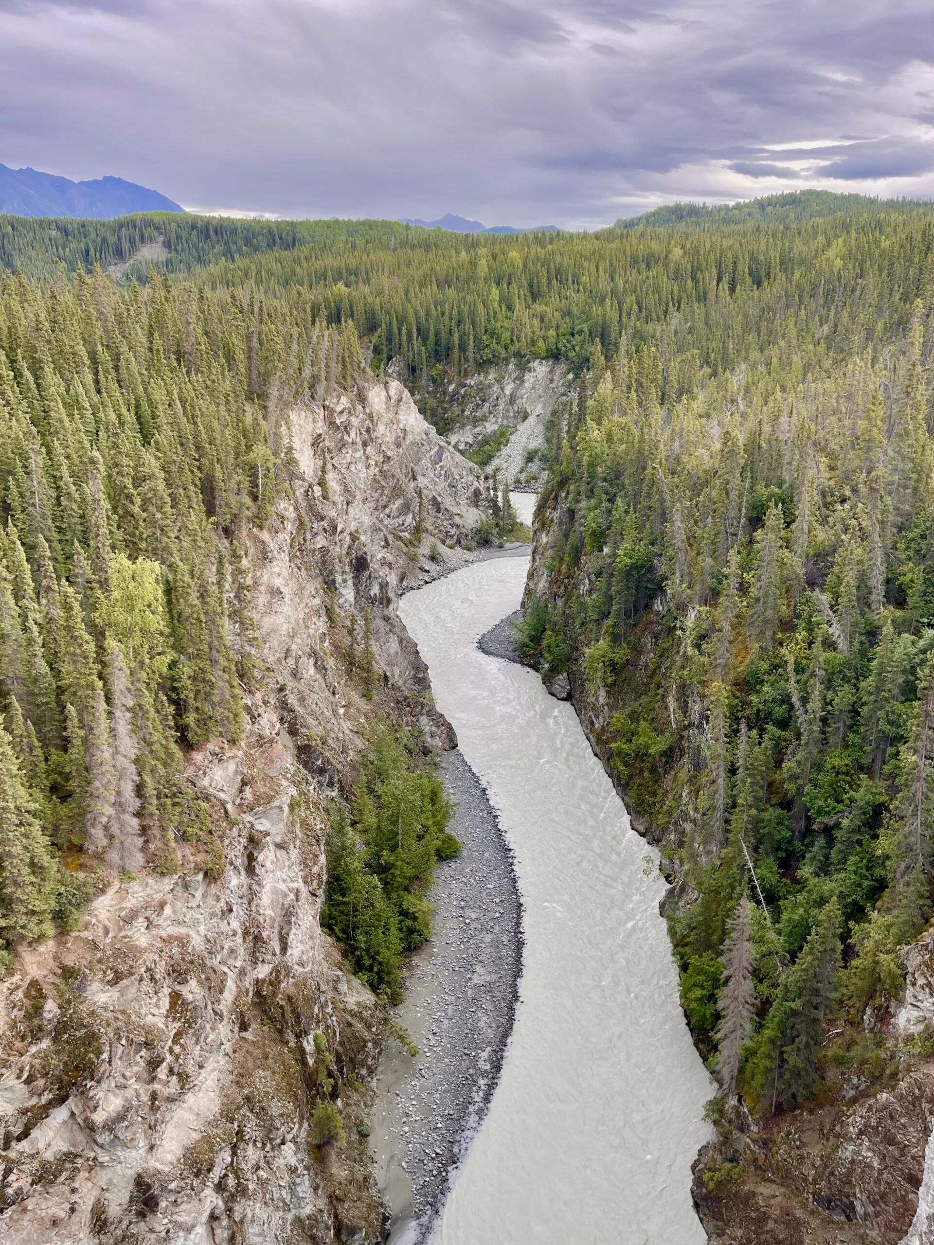
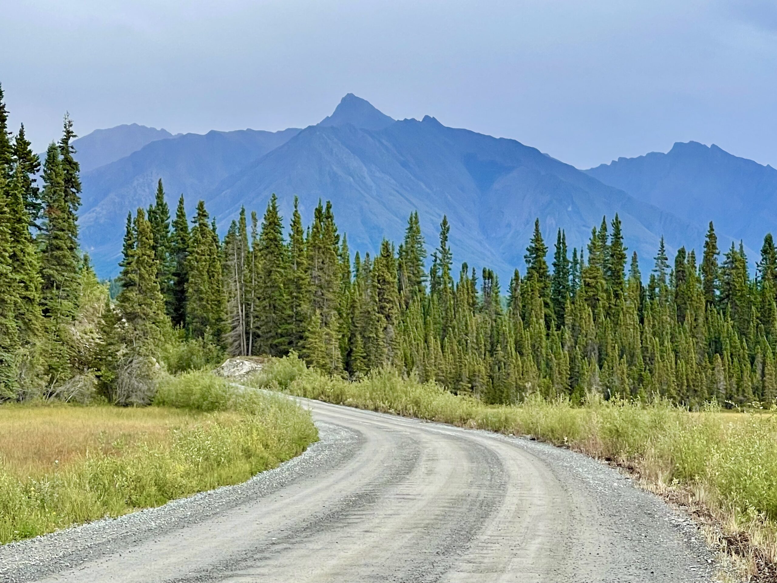
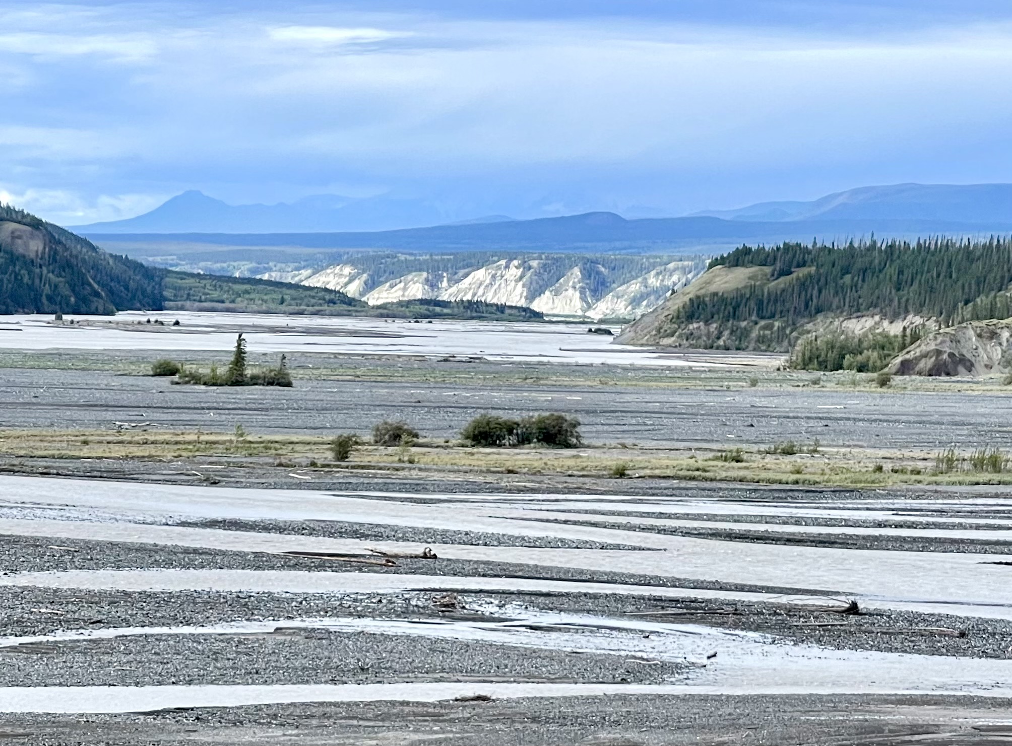
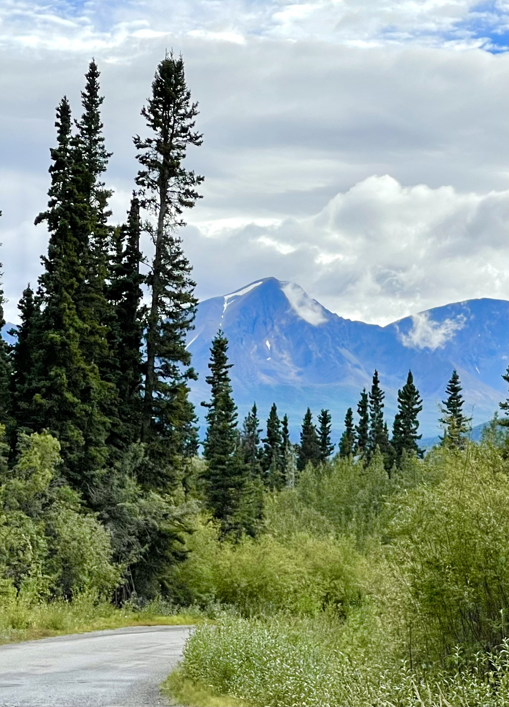
After brief road repair delays and a couple of rough hours later, we stopped at Tok, AK, where we’d be turning off the Alcan and onto Highway 1, known as the Tok Cutoff Road, that leads to Anchorage and Alaska’s Kenai Peninsula. Though two of the biggest highways in Alaska, the Alcan and Highway 1, meet at Tok it wasn’t apparent, aside from a single traffic light. Two gas stations, a souvenir shop, a visitor center and a drive-through coffee kiosk were all that marked the intersection. 

Susan hadn't had coffee yet and was starting to feel a little grizzly like this guy we met at the visitor center

We played tourists and bought a T-shirt and some homemade fudge at the souvenir shop, then filled the gas tank and walked across the empty intersection to the Wrangell-St. Elias National Park Service Visitor Center.


A young park ranger told us pretty insistently that the best way to visit Wrangell was to take the more southern route into the park because the northern entrance, close to where we were, consisted of a 42-mile-long gravel road and was pretty boring, and would be especially so today since it was overcast and the glacial peaks were less visible (or not visible at all). 

We decided to follow his advice and head to the southern entrance into the park. It would be a long drive, but we hoped it would give the sky a chance to clear. Before heading off, we returned across the street and, at a picnic table conveniently located in a tiny park next to the parking lot, Susan made coffee while I had something to eat.

The long, lonely drive from the north entrance to the south entrance of Wrangell-St. Elias National Park looked mostly like this for many hours
A distant trumpeter swan floating in a pond near the road was our only wildlife viewing en route

After about 3 1/2 hours on the Tok Cutoff Road and nearly another hour on a narrow turnoff road, we turned again, this time onto a rough paved road. Thirty-five additional and very slow miles brought us to a second Wrangell-St. Elias visitor center. The young park ranger there said the area near the first visitor center (in the northern part of the park we’d been driving away from for most of the day) was way better. Too late. 

And to get from where we now were to the interior of the park, the ranger said, we’d now have to drive an additional 18 miles of terrible, broken paved road, then another 42 miles of rough dirt road. Then, we’d have to pay $10 to park, pay another $20 for a shuttle to the campground and $30 to camp, all at a private site inside the park. 

The "paved" road through Wrangell-St. Elias National Park

It sounded too commercial for such a long drive so we decided instead to continue into the park just for the rough paved 18-mile section.

What the views actually looked like with the cloud cover
What the views in the park are advertised to look like. photo credit: rei.com

For most of the drive through the park there was no view of the mountains due to the cloud cover, which was disappointing because we knew that a number of them nearby were over 16,000 feet high and covered in snow and glacial ice. 

Even with the clouds, there were stunning vistas of a half-mile wide valley with a river carving through sandbars and an occasional glimpse of snowy peaks when clouds briefly parted. It was still beautiful but a letdown from what we were expecting.

At one point a short turnoff from the road led down to a shallow lake and broad sandbar with mountains in the distance. We pulled off and quickly realized whatever road once had been there was no longer. 

The sign advertised the dangers of continuing on the road. The problem was there was no road
We'd need a raft to find out what the partially submerged informational panel said
Formerly a railroad trestle, the bridge was made into a road with addition of guardrails and a few reinforcements underneath
We hiked down a short path to check out the underbelly of the bridge
The view of the silty, rushing Kuskulana River far below the bridge was breathtaking, if not a little scary

Eighteen miles on the road into the park brought us as far as the well-known Kuskulana River Bridge. The one-lane, 525-foot-long cantilevered bridge is perched 238 feet above a deep, sheer-sided, rocky gorge. The bridge was built in 1910 as a railroad trestle, and was more recently enhanced for use by vehicles. An engineering achievement, the bridge was built during two brutally cold winter months (with temperatures dipping to –60°F) in 1910 as the railroad pushed to complete the line by spring. Gazing into the steep gorge below, we could only imagine how frightening it would have been to build the bridge or even to cross over the deep gorge on a train before the addition of guardrails before it was converted to a road.

The sky was greyish but somewhat less cloudy as we headed back
On the return, views were a bit clearer across the silty river with sun shining on the distant cliffs
It wasn't long before thick clouds rolled back in

After exploring the bridge, we backtracked the 18 rough-road miles to just past the park entrance. The sky cleared a little on the way back, providing better views, but it was just a tease. Clouds returned just as quickly as they’d lifted.


Eventually, we reached a spot where I remembered a glimpse of what I thought was a waterfall off the road by a small bridge, and we found it.

Surprisingly, we also found ourselves in a beautiful, empty Alaska State Recreation Area campground with a loud, gorgeous waterfall as well as a large creek rushing through it. 

It was damp and chilly so we bundled up and bouldered up the noisy falls as far as we could
The picturesque falls

Though it was early evening, it wouldn’t be dark until after 10 pm this far north and we were planning on driving at least a couple more hours. But once we saw this place we knew we had to stay. 

We walked the empty campground to choose a site. We decided not to stay at the site closest to the falls because it wasn’t very level and we were concerned that the deafening roar of the falls would keep us awake, so instead we selected and paid for the best site, located along the bank of the crystal clear rushing creek. 

Our campsite for the night
Seeking the best path to the falls. This wasn't it
A trail along the creek looped down, around, and above the campground. There was no need to worry about road noise from the bridge because there was no traffic
Charles said this photo looked like a painting—so Susan used Pixart to convert it into one

A trail from our campsite led us up a hill, along the roaring creek, around to the bridge, then back to the delightful and loud waterfall.

We lingered, happy the clouds hadn’t given way to rain as expected. Along the trail, we focused on the natural beauty around us, including details like giant mushrooms sprouting from a decaying tree trunk, bright red berries, and the clarity of the water in the creek. Now we knew why we’d come down the southern road into the park in the first place. We’d slowed down and our initial disappointment turned to elation as we began to let the trip find its way.

Charles tended the fire ...

While I built a warming fire, Susan sat by the creek contemplating the sounds of the rushing water and taking in the beauty. It was peaceful and meditative. There was something very spiritual about this place and we felt the angst of the long rough drive melting away. We were done just trying to get somewhere now and we could absorb this incredible land.

. . . while Susan enjoyed the meditative sounds of the creek below our campsite

Eventually, we made dinner from an Indian meal-in-a-pouch and when there was just a little left, I wished out loud for some naan to wipe the pot with. Susan went to the truck and gave me a piece of wheat bread and said, “Here’s some non-naan.” We both cracked up.


We had the campground to ourselves until a van showed up. We talked to the driver, a single 60-something Asian woman from San Diego. She was happy that she wouldn’t be in the campground alone and we told her to come by if she needed anything. An adventurous soul, we thought. 

Italian couple we met at the campground

As we were preparing to turn in for the night, we met a lovely young couple from Italy in a rental RV, doing their best to level it at the site by the waterfall.  We chatted for a while as a soft rain began to fall. They told us they’d just come here from Denali National Park and were totally awed by it and all they’d seen in Alaska so far, even though there’d been a fair amount of rain during their trip.


Rain was forecast to continue for a few days so we decided we’d leave the Wrangell area and head toward Anchorage the next day. It seemed the cooler air had taken away the mosquitoes but now we’d have clouds and rain instead.

We’d made 2,500 miles in just a few days, mostly driving highways to get somewhere. Now we were here and could take our time.

One Response

Leave a Reply

Share this post